
- 4.16 km
- 1h30
- Moderate
- + 80 m
Via the Red and Blue Crosses
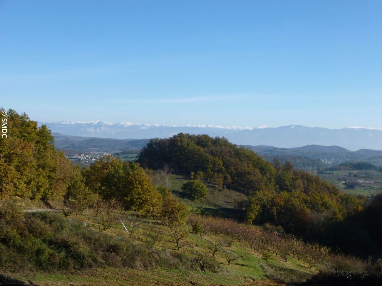
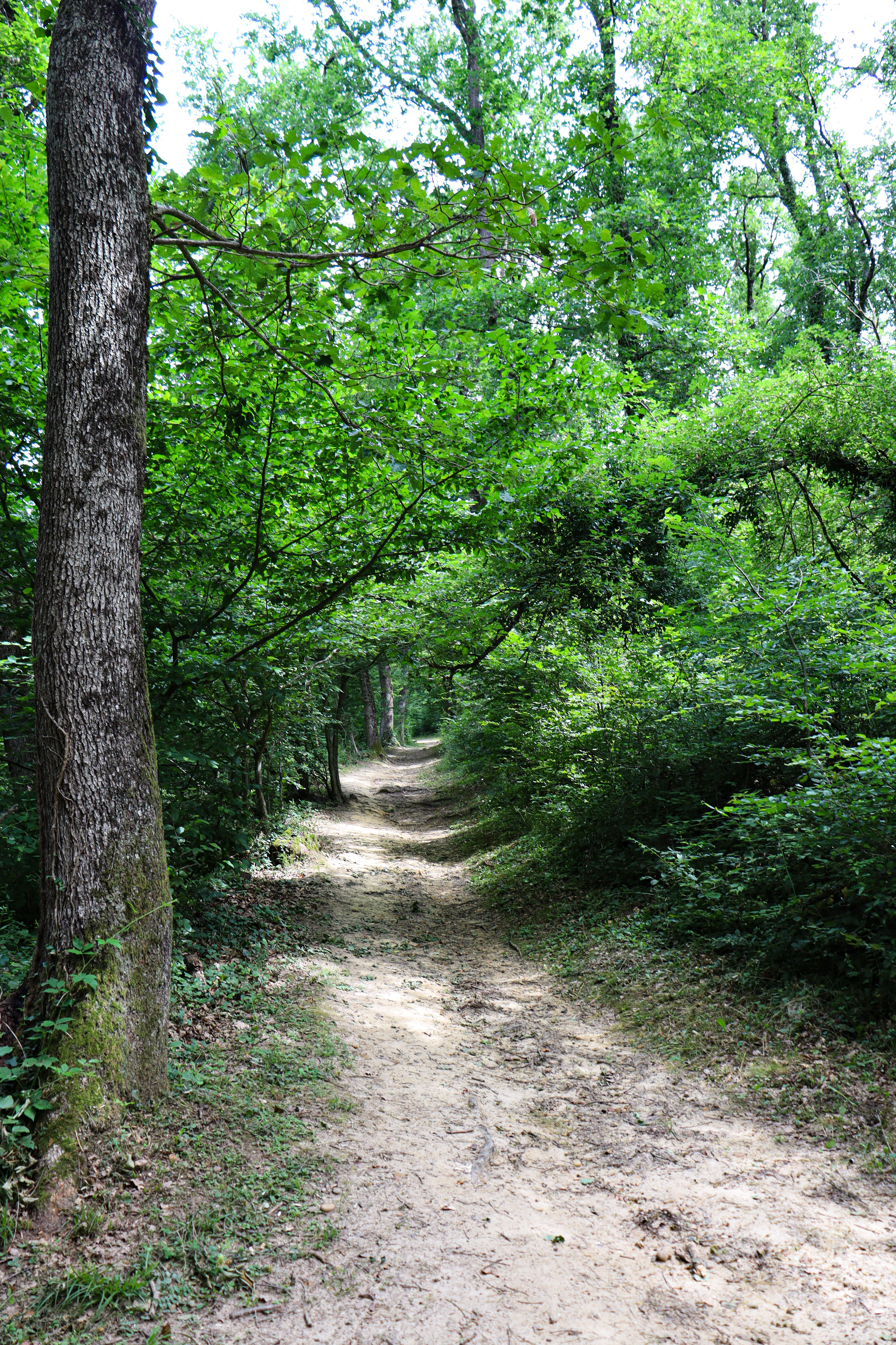
This pleasant hike alternates differents roads in forest or sandy roads and view on Vercors.
Available on the trAHce app
-
Address
Départ devant la mairie
26260 Bren - Phone 04 75 45 15 32
- Email Nous écrire
- Website See the website
À noter
Tips :
The Saint-Laurent fountain at the eastern end of the village is a source
from which the village's inhabitants drew their water. Its name comes from the patron saint of the parish. According to legend, this spring was said to have healing powers for eyes and skin problems.
Further information
- Pets welcome
Our tips
Details about route marking : Balisage PR (Jaune) -
To see the GPX, download the application
L’agence d’Attractivité de la Drôme cannot be held responsible for any problems encountered along the route.
Any problems encountered can be outlined here:
Author: Conseil Départemental de la Drôme - Apidae Tourisme
Updated on 13/10/2026
Through Conseil départemental de la Drôme