
Sport
Vertige des Aiguilles
Description
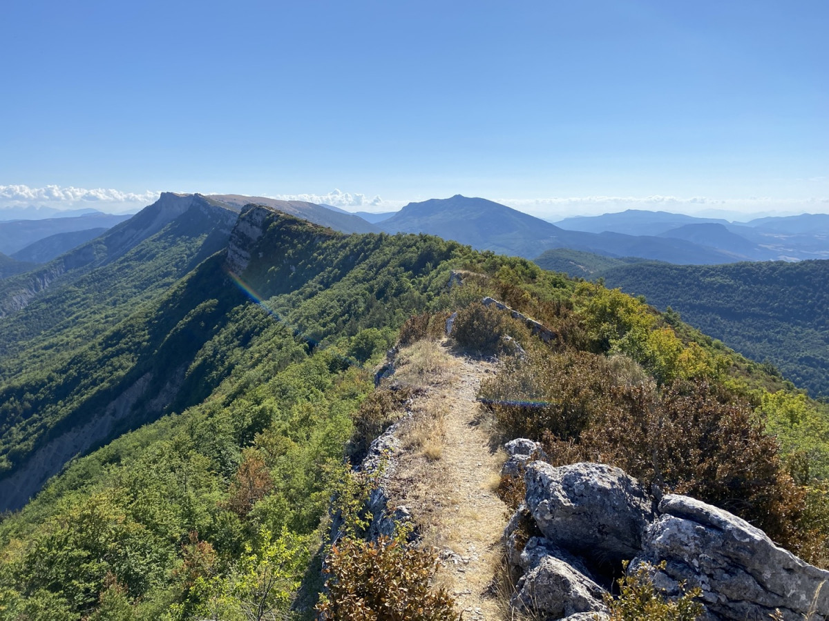
A vertiginous route for lovers of technical challenges and 360° panoramas.
More than 800 metres of ascent in less than 5 km, and you'll still have to climb through the rock via a cabled passage equipped with handrails to reach the summit of Les Aiguilles.
After that, you'll have 2 km of ridges, some of them aerial, to take full advantage of the view of the surrounding mountains. A technical descent, with a nice section off the beaten track, a detour to the Montrond for a final view of the horizon, and you'll head back down towards the village on a still varied terrain, taking winding forest paths...
The areas you're about to explore pass through a Natura 2000 zone, renowned for its remarkable biodiversity. You too can contribute to its preservation by adopting an eco-responsible attitude. This route will take you to the crest of the Montagne des Gravières, where you'll appreciate the remarkable biogeographical contrasts of the Baronnies provençales. The northern slopes are covered by a cool, shady forest of Beech and Peccine Fir, where the Black Woodpecker and Tengmalm's Owl can be heard. In contrast, the south-facing slopes and ridges are covered with dry grasslands of Common Thyme and True Lavender, home to more Mediterranean birds such as the Orphean Warbler.
Accès
- Place du champ de mars 26510 Rémuzat
Further information
-
Type of clientele
Level black - very hard
-
Spoken languages
French
-
Activity
Pedestrian sports Trail route
Opening
All year round daily.
Prices
Free access.
Documents
Contact
Vertige des Aiguilles
Place du champ de mars
26510 Rémuzat
26510 Rémuzat
It may interest you
Updated on 13/10/2026
Through Conseil départemental de la Drôme
