
Traou du Boli
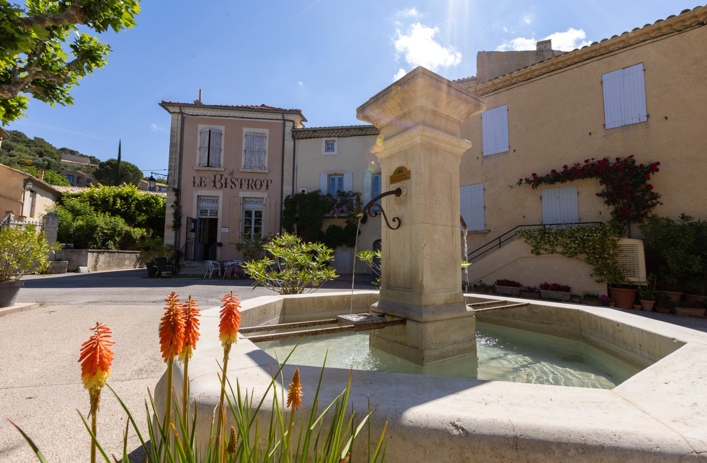
Randonnée au départ du village perché de Venterol, bordé par les vignes et situé à quelques kilomètres de Nyons.
Parking terrain Saint-Jean, opposite the cemetery. 1. At the Terrain St-Jean post (alt. 440 m), turn right up the road. 2. After 500 m, at the Le Réservoir post (alt. 450 m), take the path to the right. Cross the stream three times, then walk in its bed for about 150 m. Then turn right (uphill). As you climb, look out for the rock on the other side of the stream, where deer are regularly seen. Stay on the main path until you reach the highest point of the hike (alt. 673m). 3. Go straight ahead and descend into the valley along the Signalettee ravine. 4. At the bottom, just before the stream (La Sauve), turn left and follow the river for about 15 minutes. End up in the riverbed, on the left. Just before a dam, cross over to the road. Turn left: walk on tarmac for a distance of about 900 m. 5. At the Cabanon crossroads (alt. 403 m), turn left, walk down to the edge of the olive grove, then turn left again, cross the river and take the path on the right. left, cross the river and take the path on the right. 6. Join the road (Les Auches, alt. 402 m), which you follow to the left. Pass through the village of Venterol and return to the Terrain St-Jean parking lot.
- Address 26110 Venterol
- Phone 04 75 26 10 35
- Email Nous écrire
- French
Details about route marking : Balisage PR (Jaune) -
L’agence d’Attractivité de la Drôme cannot be held responsible for any problems encountered along the route.
Any problems encountered can be outlined here:
Author: Conseil Départemental de la Drôme - Apidae Tourisme
Updated on 14/10/2026
Through Conseil départemental de la Drôme
