
Tour du Grès
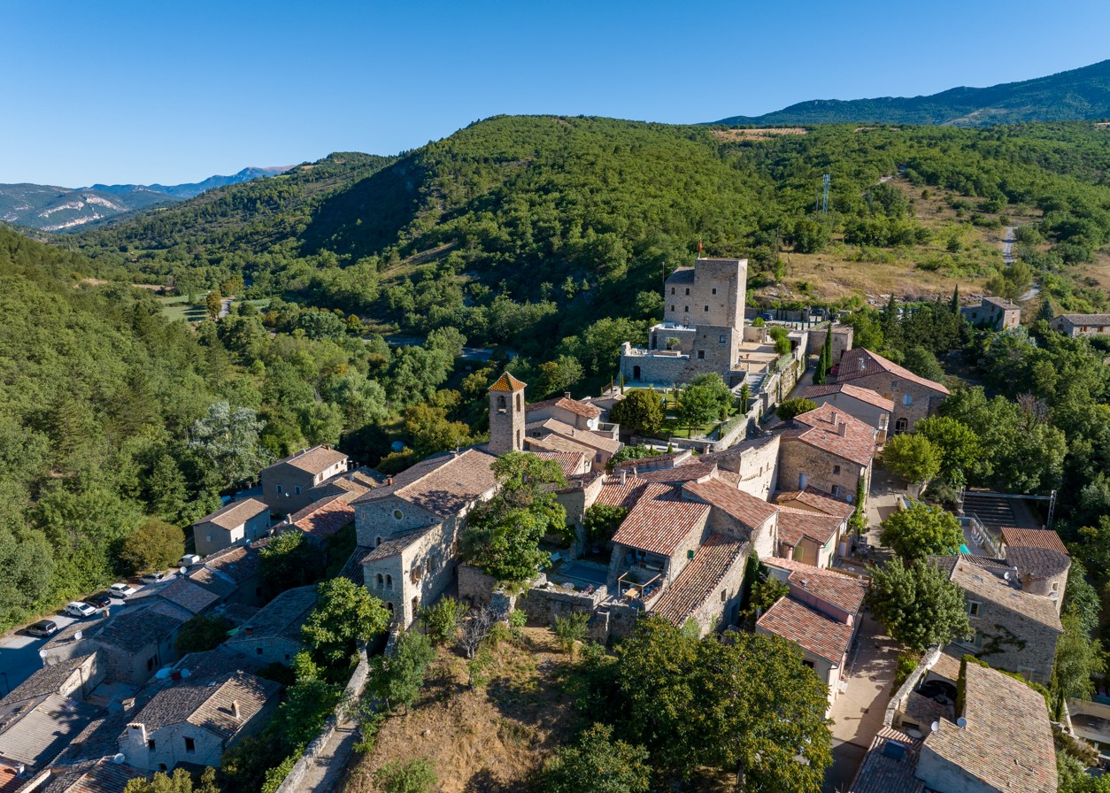
Randonnée au départ du village de Ste-Jalle, située dans une vallée ouverte et agricole avec la montagne de Vanige en toile de fond (1 391m).
Parking in front of the town hall. Warning: this hike passes through a sheep park. Do not disturb the flock. Dogs forbidden on this route. 1. Take the road to Nyons, then the green metal bridge over the Ennuye. At the end, turn right. Pass a distillery, then, after the stone bridge, turn left. Follow this narrow road to the Vallon du Rieu Frais crossroads (alt. 430m, path with gate on right). 2. Take the path on the right. At a significant widening of the track, continue towards a "one-way" sign. Further on, the track becomes a path. Shortly afterwards, take the right-hand path and follow it to a track. Take the left-hand track, which winds upwards. At the summit, turn right onto a path, then head downhill towards the Col d'Onglon. 3. At the Col d'Onglon post (alt. 640m), turn left along the draye to the wide path visible in the valley (Le Moulin, alt. 480m). 4. Here, turn left, following the path into the valley. At the bridge, turn left and the narrow road joins the Vallon du Rieu Frais crossroads, then the village of Ste-Jalle.
- Address 26110 Sainte-Jalle
- Phone 04 75 26 10 35
- Email Nous écrire
- French
Details about route marking : Balisage PR (Jaune) -
L’agence d’Attractivité de la Drôme cannot be held responsible for any problems encountered along the route.
Any problems encountered can be outlined here:
Author: Conseil Départemental de la Drôme - Apidae Tourisme
Updated on 14/10/2026
Through Conseil départemental de la Drôme
