
Tour de la montagne Vaux
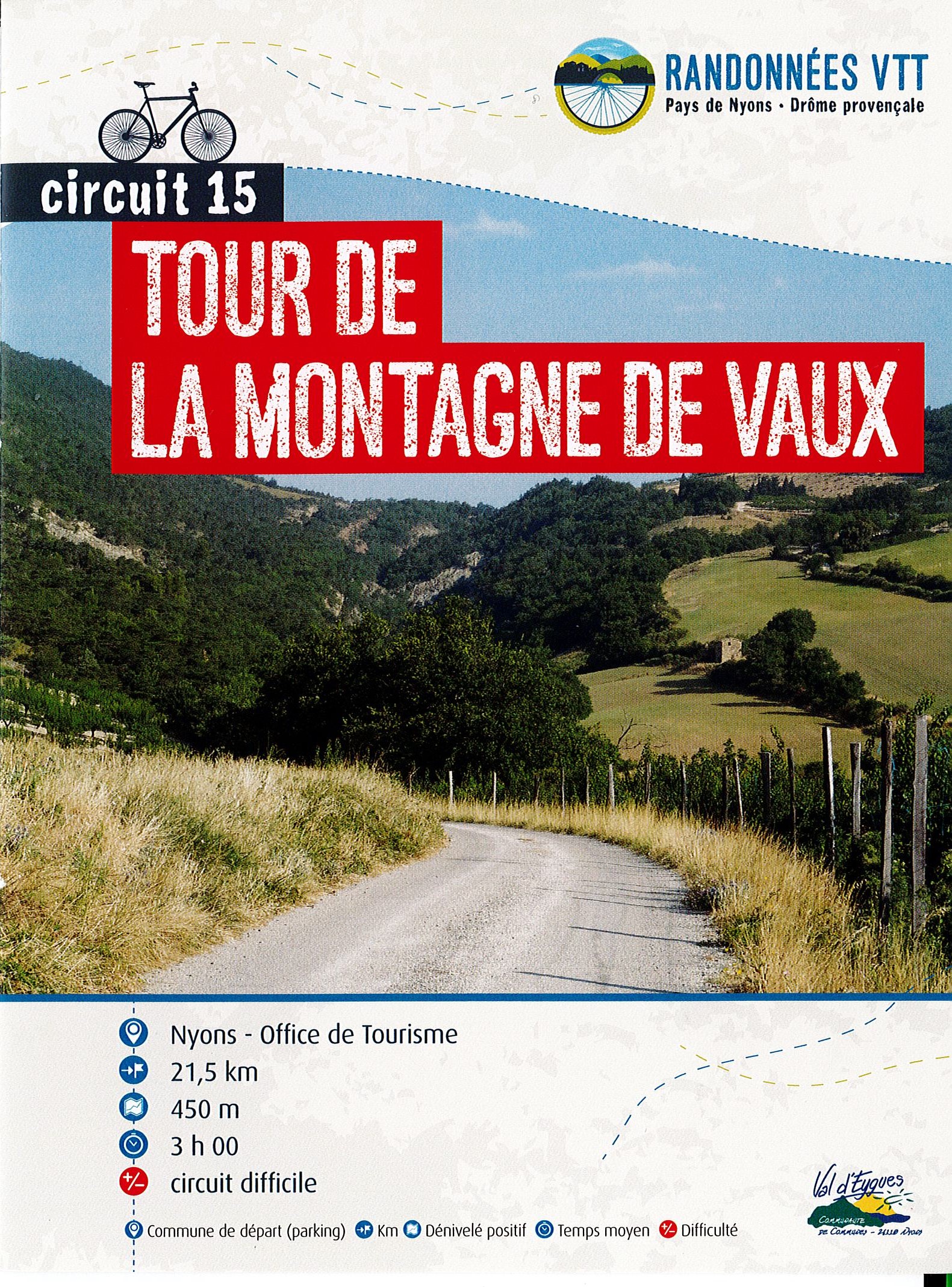
This tour takes in 2 areas: the Eygues valley with its Mediterranean vegetation, and the Combe de Sauve with its more alpine vegetation. The reward awaits you at the Col du Flachet: a magnificent view of the old village of Aubres.
The descent of the Combe de Sauve is technical and requires your full attention. Swimming possible in the combe in summer. Mixed circuit: dirt and tarmac. Point 1: Place de la libération/Office de tourisme (km 0) Point 2: Carrefour de la citadelle (km 0.8 - 279m) After the tunnel, turn right and follow the red n°15 sign. Point 3: Pont d'Aubres (km 4.3 - 284m) Cross the bridge and continue straight on towards the village. Point 4: Rond point de l'école (km 5.1 - 300m) Turn left, then right after 200m towards Le Flachet at Place de Maupas. High gradient before reaching the pass. Point 5: Col du Flachet (km 11 - 665m) Straight on towards the Combe de Sauve. Technical descent. Point 6: Combe de Sauve (km 12.1 - 510m) Take the tarmac road on your left. Point 7: RD 538 (km 15.4 - 402m) Take care when crossing the main road. Follow the path and then the road to Nyons, on the right bank of the Sauve.
-
Address
Place de la libération
26110 Nyons - Phone 04 75 26 10 35
- Email Nous écrire
Further information
- French
Our tips
Details about route marking : Balisage VTT (Jaune) - Boucle N°15 rouge
To see the GPX, download the application
L’agence d’Attractivité de la Drôme cannot be held responsible for any problems encountered along the route.
Any problems encountered can be outlined here:
Author: Conseil Départemental de la Drôme - Apidae Tourisme
Updated on 13/10/2026
Through Conseil départemental de la Drôme

