- 3.95 km
- 1h45
- Facile
- + 60 m
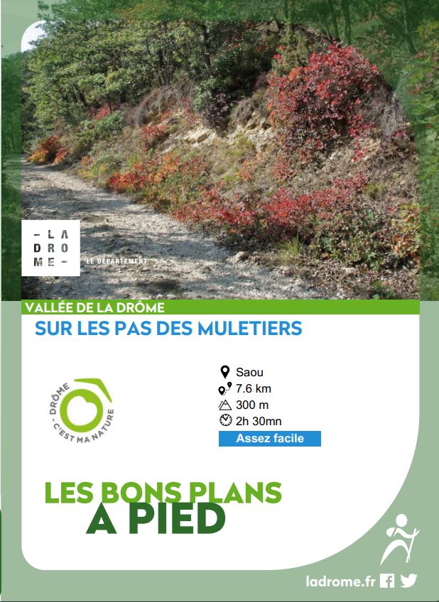
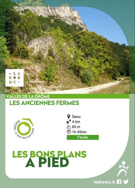
Sur les pas des muletiers
A lovely walk that follows various historic communication routes in the Saoû forest.
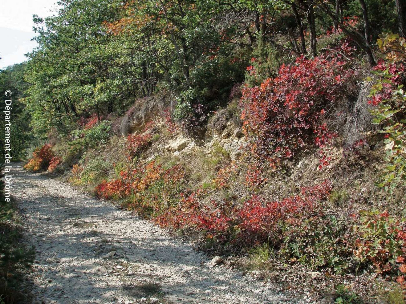
The bucolic little path along the Vèbre is now used by hikers, mountain bikers, horse riders and others. These trails have a history, a function and a future. The Département has embarked on a site-wide trail management policy to ensure the long-term future of the trails. The first traces of human occupation date back to the Neolithic period. From that time onwards, mankind created a network of paths, of which we are the heirs. The ascent of the mule track (south), created for pack animals, winds gently up the south-facing slope. You then come to the tourist route created by Maurice Burrus in the 1930s, dedicated to exploring the forest by car. Dozens of workers toiled to create this new communication route. Today, it is off-limits to motorized traffic, except for services and authorized users (eco-guards, firefighters, shepherds, hunters, scientists, etc.), shepherds, hunters, scientists, foresters, etc.).
-
Address
Parking des Sables Blancs
Route de la Forêt de Saoû
26400 Saoû - Phone 04 75 63 10 88
- Website See the website
À noter
Tips :
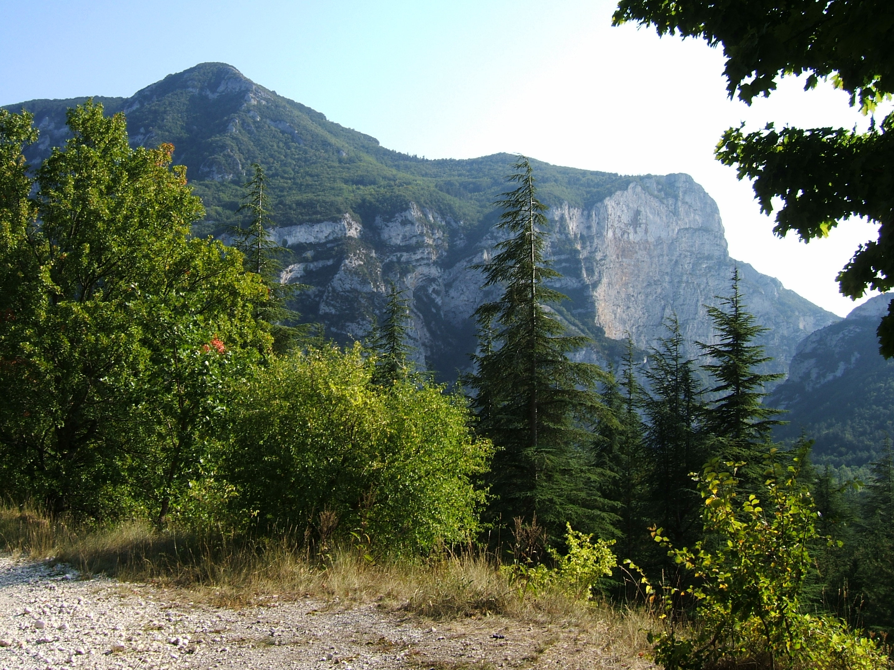
Unobstructed view of the Pomerolle and Trois Becs peaks. Sun and shade. No particular difficulty.
Further information
- Car park
- Picnic area
- Pets welcome
- Coach access
- French
Our tips
Details about route marking : Balisage PR (Jaune) -
To see the GPX, download the application
L’agence d’Attractivité de la Drôme cannot be held responsible for any problems encountered along the route.
Any problems encountered can be outlined here:
Author: Conseil Départemental de la Drôme - Apidae Tourisme
Updated on 14/10/2026
Through Conseil départemental de la Drôme