
- 16.1 km
- 5h15
- + 1177 m
Sur les Pas des Huguenots - Etape Bourdeaux/La Chaudière

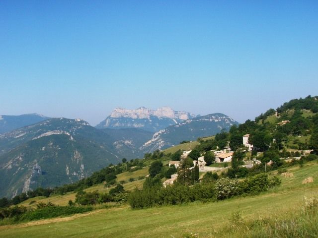
Leave the village in the direction of Crest. 100m after the "Pont de Bine" crossroads "Pont de Bine" crossroads, turn right onto the road to Saillans. At the first fork in the road, follow the white and red GR signs to the left towards "Grand Villard". Before the farmyard, turn left and follow the marked path between the farm sheds. The path becomes a footpath. At the road, turn left to the "Le Rastel" crossroads post. Follow the theme markings. Crossroads post "Col du Rastel". Turn right right, go through a gate, leave the road and take the path leading uphill. At the "patte d'oie", follow the right-hand path. As you climb, the path becomes wider. At the next junction, turn right. But be careful! Then leave the track and take a path to the right. Visit and two cairns are present. Go down the path towards the spring, follow the markers and climb back up to the gate. Follow the markings on the hillside. Nice view of the Bezaudun tower. Two other gates in poor condition on the path. Go around the farmhouse to the left and join the path uphill. Fondoresse" crossroads sign. The "sentier des Huguenots" leaves the GR at this point. Follow the thematic signs and yellow markings to the right. 300m further on, leave the track for a path downhill to the right. Yellow markings and "Col de Gourdon" arrow. A gate in poor condition. Several streams cross the path, which then reaches a track. Floréal" crossroads sign. Cross the track and turn right down the path towards "Col de Gourdon par le Ruisseau de Roland". After the green gate, follow the yellow signs to the right. Cross the stream and climb up. Cross a scree and follow the signs to the left. Caution! Twice more, turn left and leave the dominant path. path. An electric wire gate blocks the path. The trail arrives at a parking lot with a "Col de Gourdon" crossroads sign. Follow the road left, orange equestrian markings. Ignore the "Grand Delmas" to the right, and continue on to the Col parking lot. Follow the left-hand path through the black marl. Descend the very stony path through broom. Equestrian markings on the ground on the ground (rocks) and on trees, with a few cairns. Follow the before reaching the path. Turn left if there are no and follow the path to the road. The village of La Chaudière is at the bottom right. Follow the road for a few hundred metres to the first track on the right. Equestrian markings. Go down the track to the crossroads. The village of La Chaudière is on the right. The La Chaudière / Rimon-et-Savel stage starts here, at the "Forêt Domaniale de Laup".
-
Address
Le Village
26460 Bourdeaux - Phone 04 75 53 35 90
- Website See the website
Further information
- Car park
Our tips
Details about route marking : Balisage GR® (Blanc et rouge) -
To see the GPX, download the application
L’agence d’Attractivité de la Drôme cannot be held responsible for any problems encountered along the route.
Any problems encountered can be outlined here:
Author: Conseil Départemental de la Drôme - Apidae Tourisme
Updated on 14/10/2026
Through Conseil départemental de la Drôme