
Description
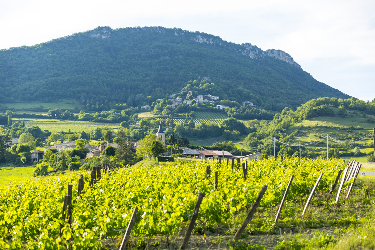
You're on the Chemin de la Clairette "Au pays de la Gervanne" in the commune of Suze, at the eastern end of the Appellation. The Gervanne river, which rises at an altitude of around 1,200 meters, gives its name to this itinerary.
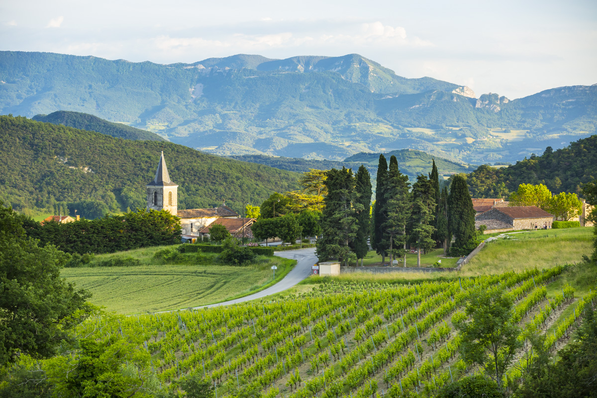
This walk begins at the foot of the Saint Pancrace mountain (735m). The hilly landscape is dotted with vineyards and small hamlets. The Gervanne and the Massif de Saoû can be seen from the top. Just a stone's throw from the Drôme Valley, the road winds its way through the vineyards, past the old village of Suze. Looking up, you can see the cliffs of Plan-de-Baix and Ansage in the distance. The vineyards are located on the slopes of Peylong and at the foot of the old village. The soils here are clay-limestone, made up of scree. The limestone and marl scree are ideal for growing vines.
Accès
- 26400 Suze
Further information
-
Equipements
Parking nearby
-
Type of clientele
Level green – easy
-
Spoken languages
French
-
Activity
Pedestrian sports Course
Opening
All year round daily.
Prices
Free of charge.
Contact
Sur les chemins de la Clairette - Au pays de la Gervanne
26400 Suze
It may interest you

Updated on 29/09/2025
Through Office de Tourisme de la Vallée de la Drôme
