
Sur le chemin de Borne Rousse
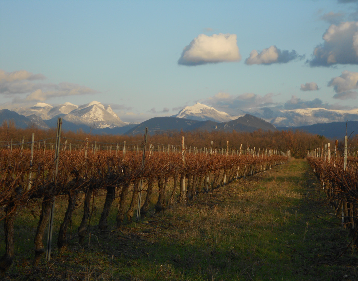
Nature at its best, with magnificent views so close to the plain! You'll discover the ancient boundary between La Laupie, Condillac and Marsanne...
From the parking lot, follow the D219 towards Marsanne. Turn right towards Condillac and immediately right after the containers onto the forest track. Reach the parking lot. Climb the wide path between the Austrian black pines. At the "patte d'oie" (Vallat Blanc signpost, 260m), turn right towards "Borne Rousse par le vallon". Less than a kilometer further on, at a bend in the road, leave the forest track and take the path that climbs up through the undergrowth on the left. The path climbs the mountainside for over a kilometer. It joins a forest track at the top, level with a hunters' hut. Cross the track to take the path on the opposite side of the ridge. The milestone is on the right: panoramic view of the Rhône valley and surrounding forests. The milestone marks the boundary between the communes of La Laupie, Condillac and Marsanne. Continue along the ridge path (magnificent view of the Ardèche). At the crow's-foot, keep left to stay on the ridge. On the descent, turn left. At the high-voltage line, continue straight ahead. Panoramic view of Glandasse, Trois Becs, Grand Delmas and Valdaine. At the next intersection (cedars), keep left. At the intersection with the hunting lodge, continue straight ahead. . Keep to the same path and turn right at the Vallat Blanc signpost to return to the starting point.
-
Address
Parking de chasse
26740 La Laupie - Phone 04 75 01 00 20
- Email Nous écrire
- Website See the website
- Pets welcome
- French
Details about route marking : Balisage PR (Jaune) -
L’agence d’Attractivité de la Drôme cannot be held responsible for any problems encountered along the route.
Any problems encountered can be outlined here:
Author: Conseil Départemental de la Drôme - Apidae Tourisme
Updated on 13/10/2026
Through Conseil départemental de la Drôme
