
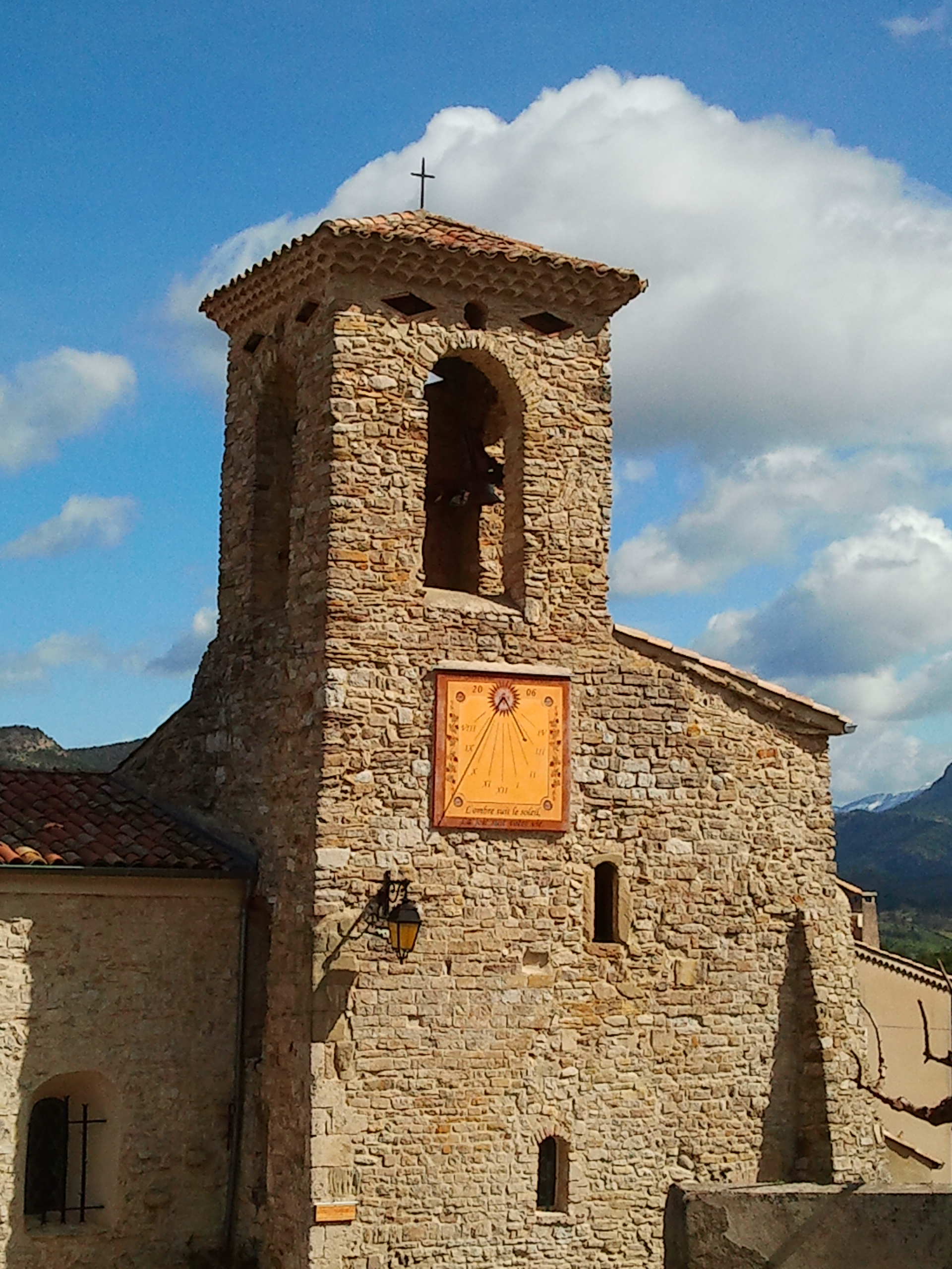
Saint-Sauveur-en-Diois
Situated on the northern edge of the Forêt de Saoû, the commune of Saint-Sauveur has one of the steepest gradients in the Diois foreland.
A thousand meters of altitude separate the gravel of the river Drôme, which flows at its foot, from the 3 Becs.
The steepest slopes have been abandoned to coppice (Natura 2000 site), which is gradually nibbling away at the old scree slopes (Le Gravelles). But the whole northern part of the territory is undulating with beautiful hills, ideal for vine-growing. The commune boasts 70 hectares of AOC Clairette de Die out of a total surface area of 700 hectares. Since 2016, Saint-Sauveur-en-Diois has been the "Coeur de Drôme", the geographic center of the Drôme department (IGN).
-
Sur les pas des Huguenots
- 26340 Saint-Sauveur-en-Diois
-
Services
Pets welcome Unguided individual tours available permanently
-
Spoken languages
French
-
Info of the visits
Unguided individual tours available permanently Unguided group tours available permanently
-
And especially
Special solo
All year round daily.
Free access.
Updated on 15/07/2026
Through Office de Tourisme de la Vallée de la Drôme
