
Rhône Islands
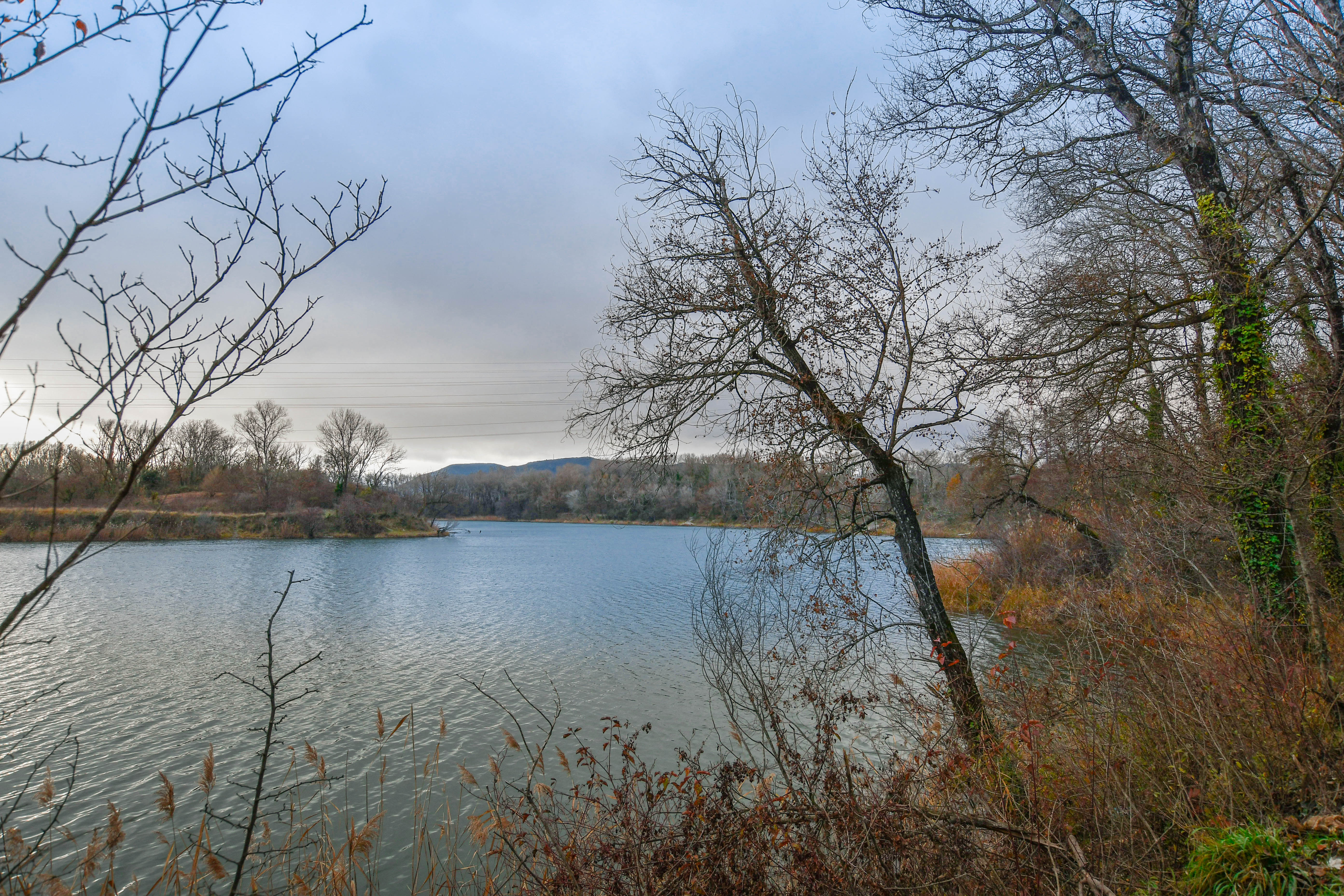
This family iterary leads you alongside the Rhône islands: a preserved and natural landscape with wide biodiversity. You can adapt the length according to your wishes.
Start at the Valladas carpark at the centre of the village. Head off to Vivers road by passing by the town hall, then turn right on the Impasse du Merdary. Turn left to reach the Gare road, then right on Porterol road. Continue straight and take the path on a right angle bend. It goes along the VIaRhôna. Take the ViaRhôna and follow it until the damming bridge (CNR). Right after the bridge, turn left and walk along the canal that join the damming road. (If you want to do a small hike, approximately 5km, start just here). Turn left on the islands area and continue straight on the earthen path. Follow the main track that forms a hairpin bend and ignore the smaller tracks on right and left. About 400 meters furthur, turn right on a small path that leads to the stadium. Continue on the Chemin des Îles, then the Avenue de Montélimar in the centre of Châteauneuf-du-Rhône to get back to the starting point.
-
Address
Parking du Valladas
26780 Châteauneuf-du-Rhône - Phone 04 75 01 00 20
- Email Nous écrire
- Website See the website
- French
Details about route marking : Balisage PR (Jaune) -
L’agence d’Attractivité de la Drôme cannot be held responsible for any problems encountered along the route.
Any problems encountered can be outlined here:
Author: Conseil Départemental de la Drôme - Apidae Tourisme
Updated on 13/10/2026
Through Conseil départemental de la Drôme
