
Randonnée de Toronne La Templière
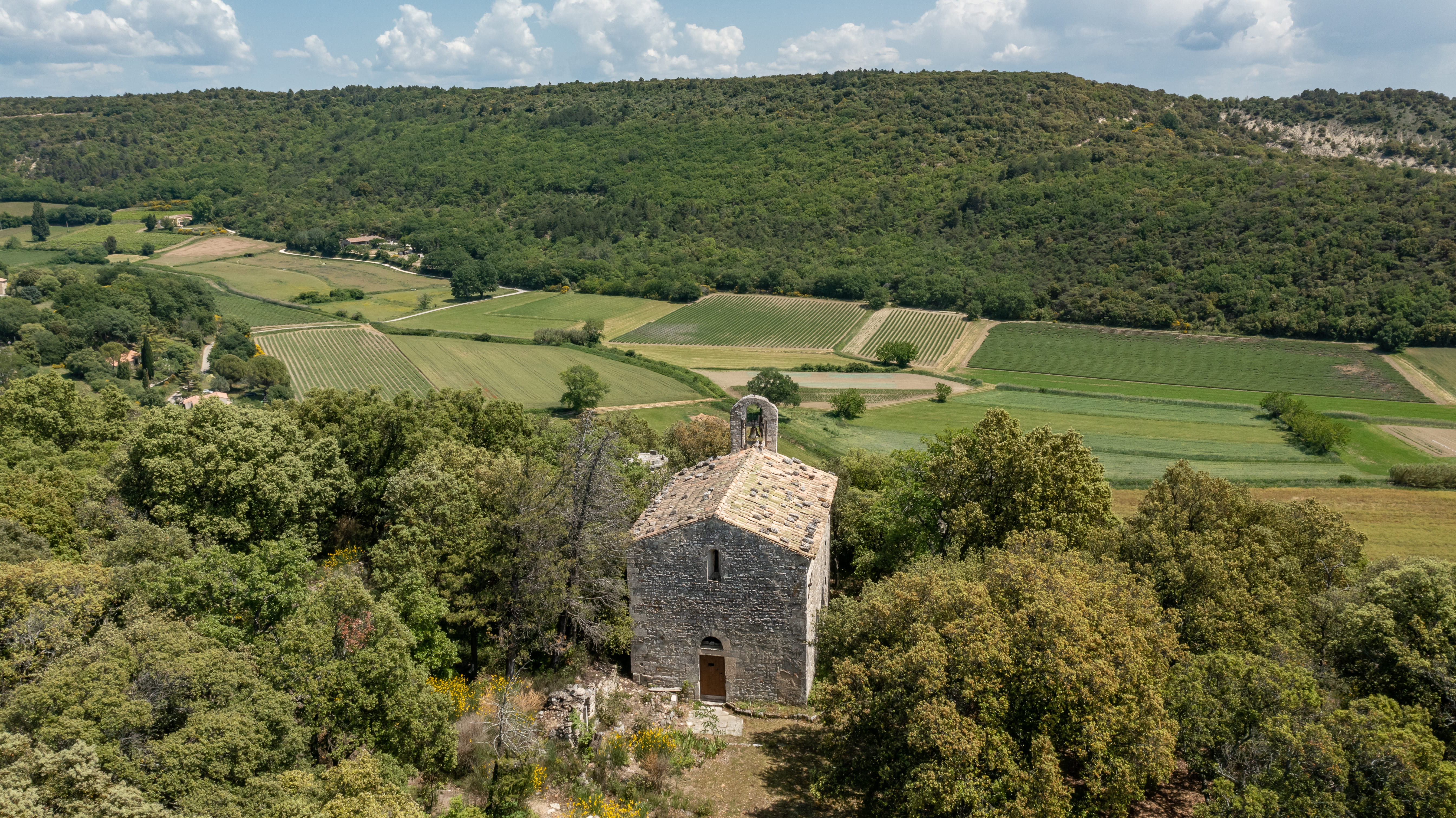
On this ancient Templar land, a short stroll full of the scents of Provence and a feast for the eyes.
From the north village parking lot, head towards the village, taking the path on the left which joins the same road below. Follow the road for 500m, and at a right-hand bend, turn left. At the three intersections, continue straight ahead. Behind the farmhouse, towards Toronne, (you are free to go up to the Chapelle de Toronne and then back) take the tarmac road which runs alongside the vineyards, the road becomes a dirt track. Go around the bottom of the combe, passing between the farm and the pond, and climb to the flat, ignoring several paths on the left. At the top, turn left onto a stony track (30min) which leads to a small tarmac road. Follow this road (superb view of Clansayes and the Cévennes), keeping an eye on the left for a path leading down between two fields. When you reach the road, leave it immediately for a path that leads to the top of the cemetery, in the direction of the village. Return to the starting point.
-
Address
Parking nord
26130 Clansayes - Phone 04 75 04 70 68
- Website See the website
- Pets welcome
Details about route marking : Balisage PR (Jaune) -
L’agence d’Attractivité de la Drôme cannot be held responsible for any problems encountered along the route.
Any problems encountered can be outlined here:
Author: Conseil Départemental de la Drôme - Apidae Tourisme
Updated on 14/10/2026
Through Conseil départemental de la Drôme
