
Ramiat
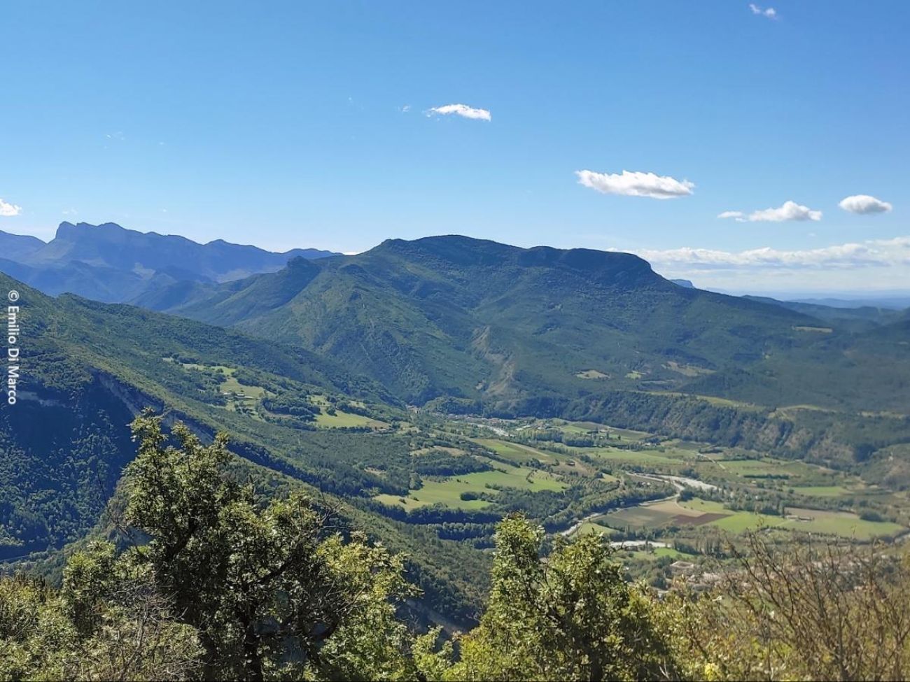
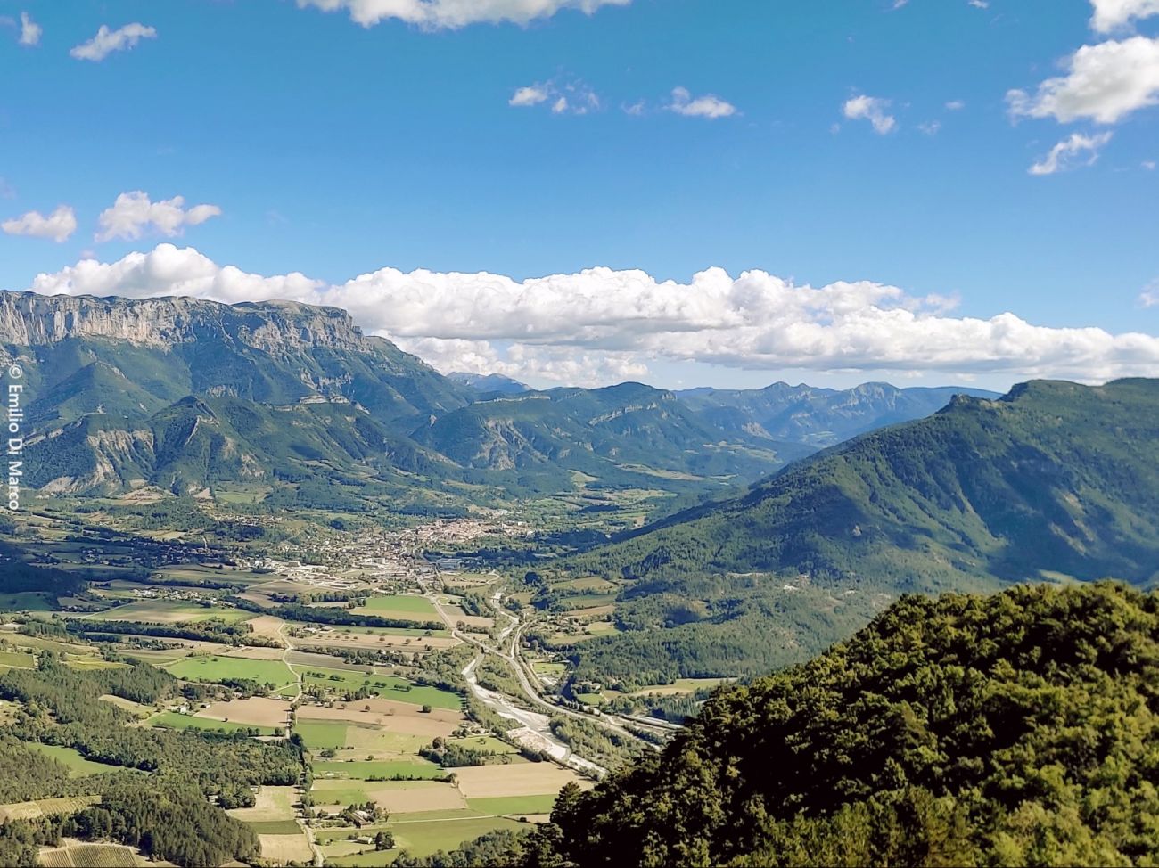
This loop between wide paths on the mountainside and trails in the pine forest leads to postcard-perfect views: on one side, the double steeple of the monastery against a backdrop of the Trois Becs, and on the other, the town of Die nestling at the foot of the Gland...
- Address 26150 Sainte-Croix
- Phone 04 75 22 03 03
- Email Nous écrire
- Website See the website
Further information
- Free car park
- Car park
- Public WC
- Pets welcome
- French
Our tips
Details about route marking : Balisage PNR Vercors (Vert et jaune) -
To see the GPX, download the application
L’agence d’Attractivité de la Drôme cannot be held responsible for any problems encountered along the route.
Any problems encountered can be outlined here:
Author: Conseil Départemental de la Drôme - Apidae Tourisme
Updated on 13/10/2026
Through Conseil départemental de la Drôme
