
Panorama de Savasse
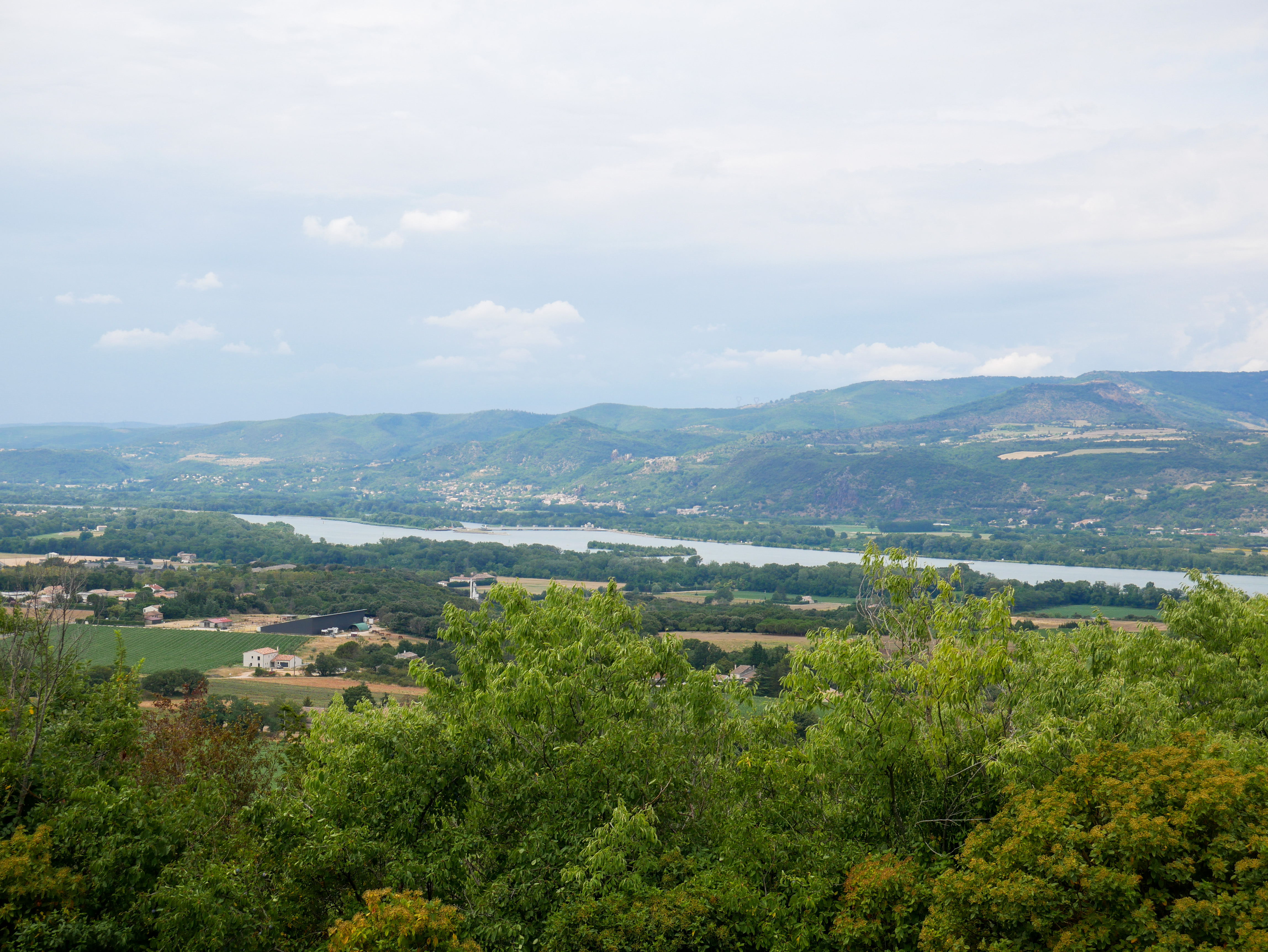
Departing from the old village of Savasse, this hike takes you on a mountain balcony to the highest point in the village: the belvedere du relais, offering a 360° view of the surrounding area.
Start from the cemetery parking lot. Follow it down towards the north on the Chemin de Condillac for about 1.2 kilometers. At the wash-house, turn left towards Mas des Auberts and continue for 250 metres. Take the path that climbs to the left and leads to the ridge line. Follow the ridge with its unobstructed views of the Pre-Alps, the Vercors and the Monts d'Ardèche. Follow the ridge, then join the road. Barely 50 m further on, take the forest track on the left, which runs through the woods and alongside the road to the relay station. Enjoy the panorama and the orientation table. Continue south and start your descent. Reach the old village of Savasse. Take the old Grand Rue on the left and return to the starting point.
-
Address
Cimetière de Savasse
26740 Savasse - Phone 04 75 01 00 20
- Email Nous écrire
- Website See the website
- French
Details about route marking : Balisage PR (Jaune) -
L’agence d’Attractivité de la Drôme cannot be held responsible for any problems encountered along the route.
Any problems encountered can be outlined here:
Author: Conseil Départemental de la Drôme - Apidae Tourisme
Updated on 13/10/2026
Through Conseil départemental de la Drôme
