
Montagne de Linceuil
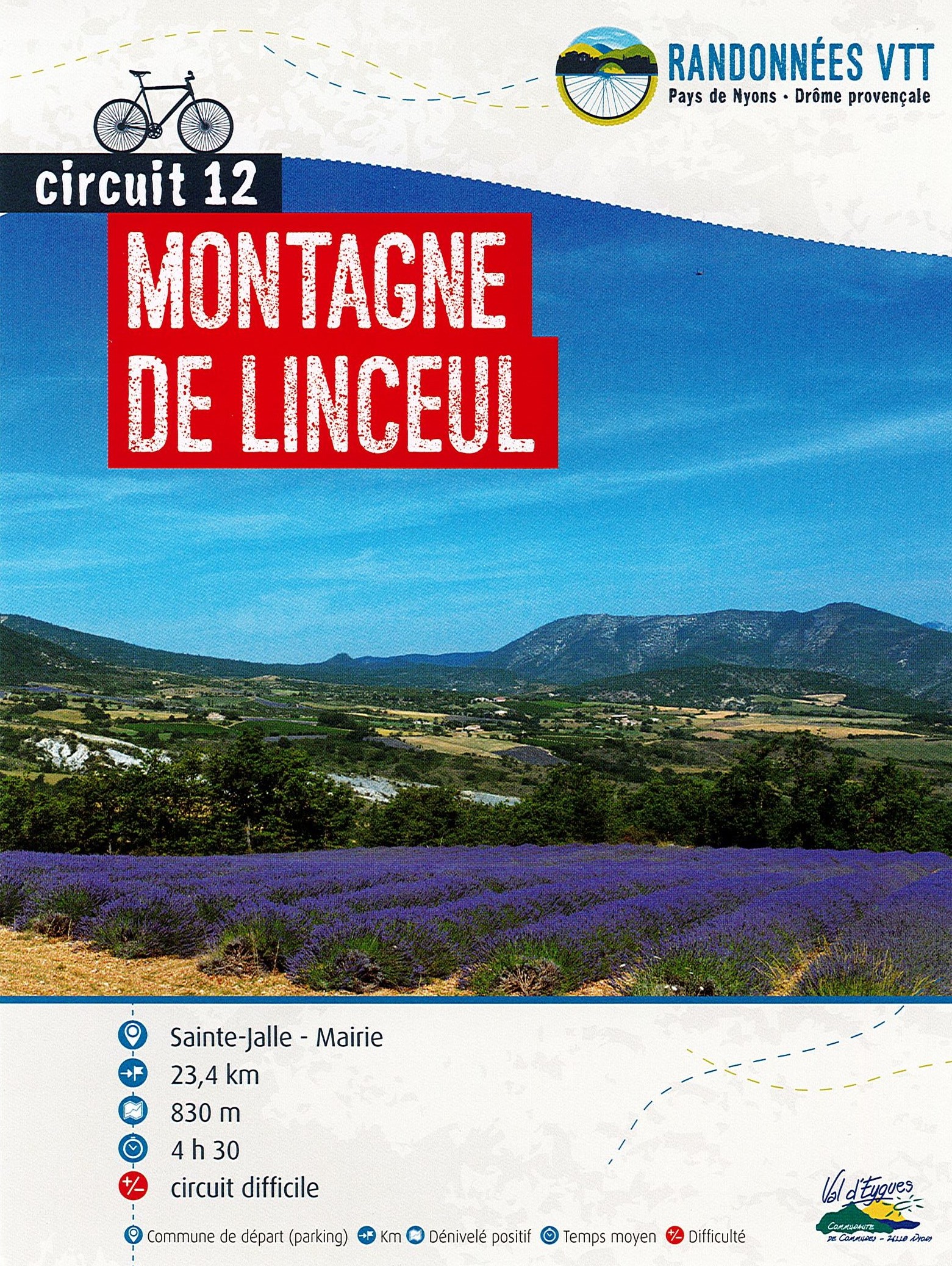
Departing from Sainte-Jalle, this tour takes you through an unspoilt part of the Baronnies Provençales, discovering the landscape and its unique geology.
This sporty circuit, with no less than 4 cols on the program and over 800 meters of positive altitude difference, will take you through the wild part of the Ennuyée valley. Beautiful views over the whole of the Baronnies Provençales and the unspoilt village of Montaulieu. Point 1: Chapelle Saint Anastase (2.6 km - 520m) Continue straight on Point 2: Col des Plates (7 km - 995m) Straight on, beautiful panorama of the valley Point 3: Col de Linceul : (8 km - 893m) Turn right Point 4: Ruines des Lantons (11 km - 740m) Straight on Point 5: Col des Lantons (11.3 km - 726m) Straight on Point 6: Montaulieu (16.2 km - 490m) Go through the village, then straight on at the 1st hairpin bend Point 7: Col d'Onglon (19.5 km - 640m) Straight on Point 8: Vallon du Rieu Frais (22.5 km - 430m) Straight on
-
Address
80, allée des platanes
26110 Sainte-Jalle - Phone 04 75 26 10 35
- Email Nous écrire
Further information
- French
Our tips
Details about route marking : Balisage VTT (Jaune) - Boucle N°12 rouge
To see the GPX, download the application
L’agence d’Attractivité de la Drôme cannot be held responsible for any problems encountered along the route.
Any problems encountered can be outlined here:
Author: Conseil Départemental de la Drôme - Apidae Tourisme
Updated on 13/10/2026
Through Conseil départemental de la Drôme

