
Montagne de Cougoir
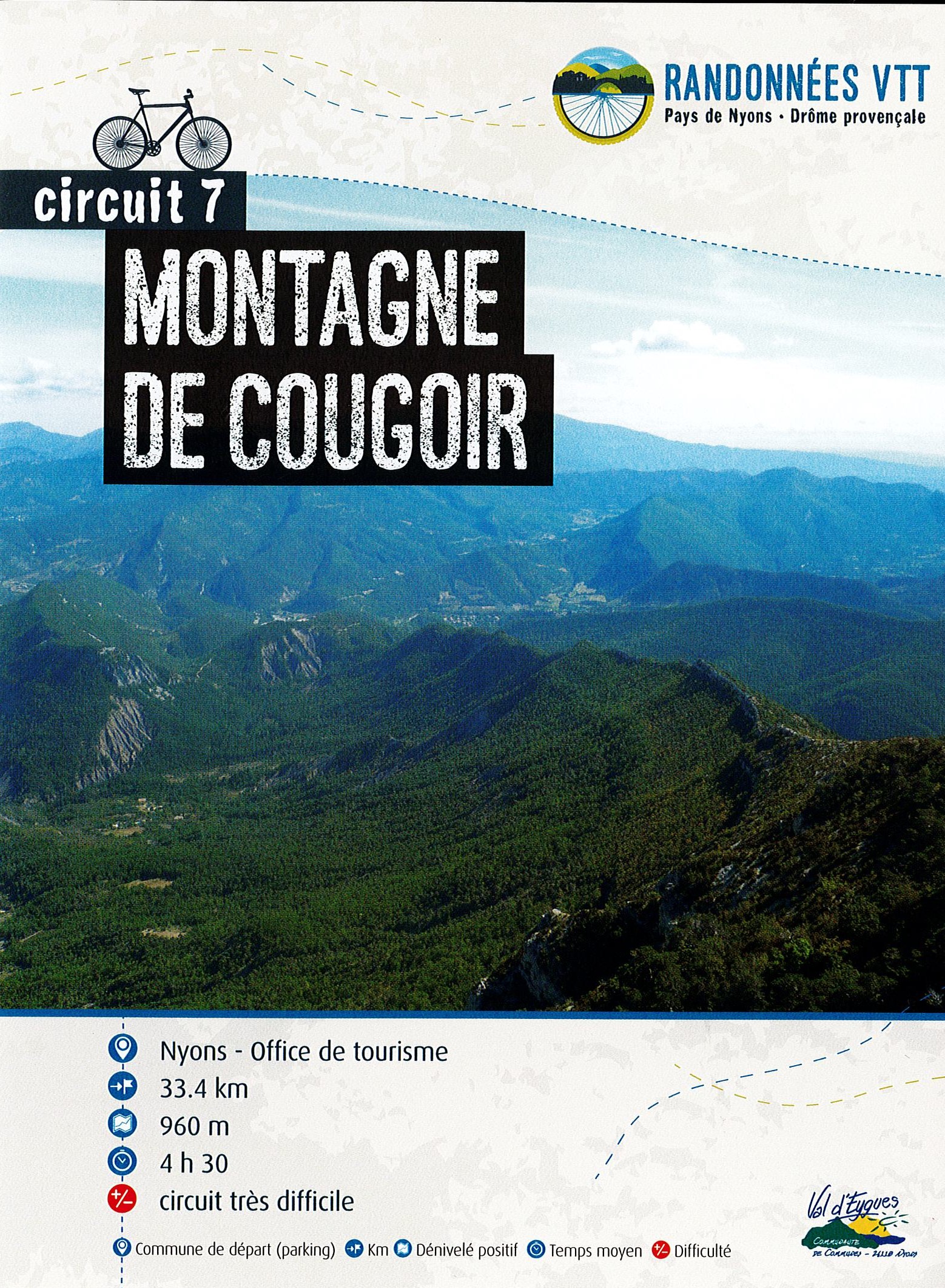
A very challenging circuit to climb one of the 1st summits of the Baronnies. From the top of its 1210m, Cougoir mountain offers an unforgettable 360° panorama of the Drôme provençale, the Ventoux, the Rhône valley and the peaks of the Hautes-Alpes.
Point 1: Place de la libération/ Office de tourisme (km 0) Point 2: Cross departmental road 538 (km 6.2 - 400m) Continue straight on, following signs for "Combe de Sauve". Point 3: Col de Venterol (km 11.5 - 635m) Turn right and pass behind the large farm. Climb to the Col de Venterol (beware: difficult climb with steep gradients). Point 4: Sommet de Cougoir (km 17.6 - 1190m) Magnificent view of the Ventoux, the Cougoir and Aubres valleys. Continue following the black n°7. A portage at the end of the route, but at the summit, a well-deserved rest and a 360° view of the Drôme provençale. Point 5: Col de la Pause (km 18.9 - 988m) Cross the field to the left to join the descent to Les Audries. Point 6: Ferme des Audries (km 20.2 - 815m) Beware of herds! Point 7: La piste (km 21.5 - 635m) Continue straight ahead on the track.
-
Address
Place de la libération
26110 Nyons - Phone 04 75 26 10 35
- Email Nous écrire
Further information
- French
Our tips
Details about route marking : Balisage VTT (Jaune) - Boucle N°7 noir
To see the GPX, download the application
L’agence d’Attractivité de la Drôme cannot be held responsible for any problems encountered along the route.
Any problems encountered can be outlined here:
Author: Conseil Départemental de la Drôme - Apidae Tourisme
Updated on 13/10/2026
Through Conseil départemental de la Drôme

