
Milmandre Malpertuis
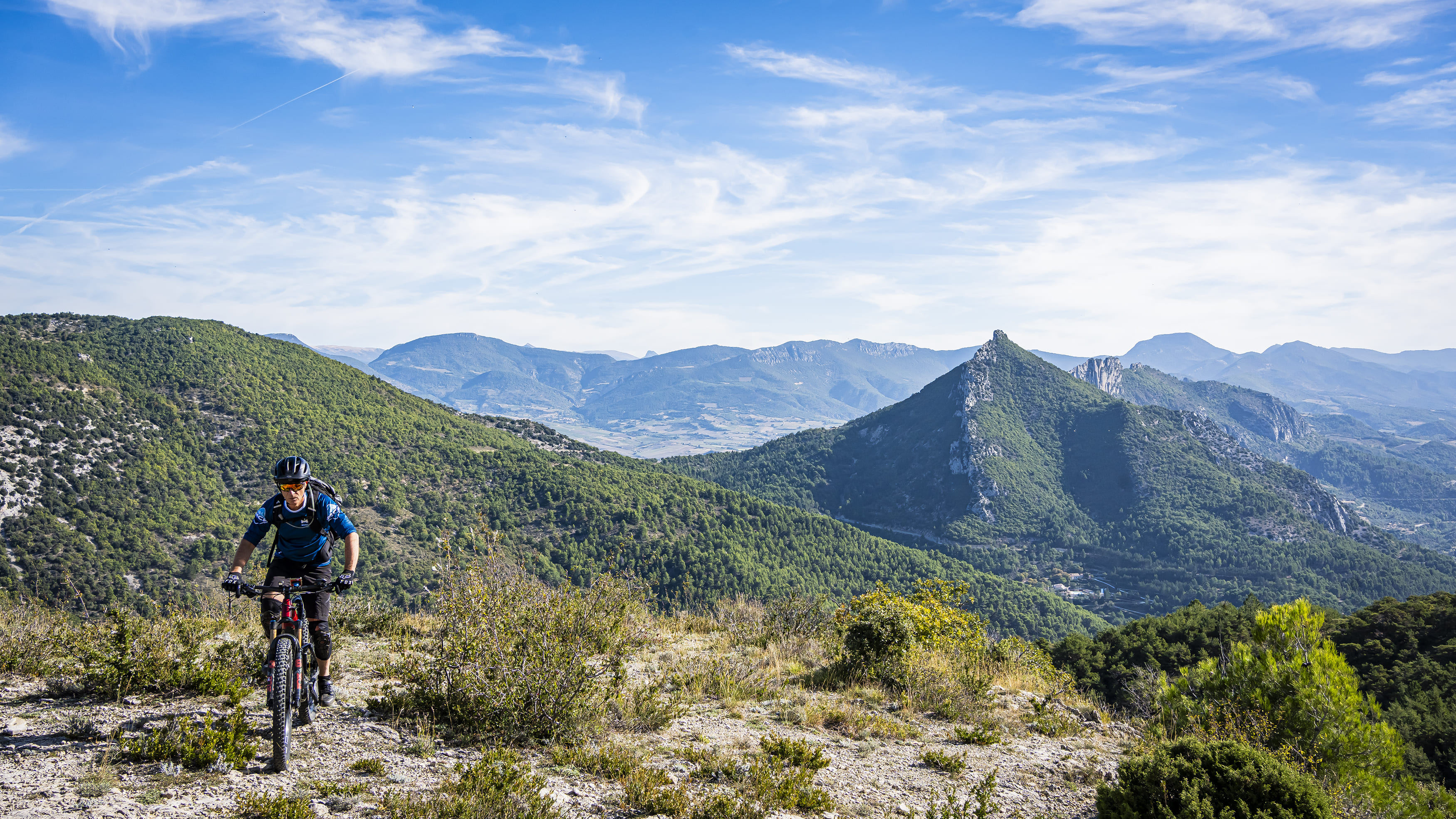
After 3km of warm-up road, the route climbs gradually on a track to the Col de Milmandre, from where you can enjoy breathtaking views of the Baronnies. Be careful, the descent via the Col de Malpertuis is technical.
Point 1: Place du Quinconce (km 0 - 371m) Take the road towards Séderon. Point 2: Gorges d'Ubrieux (km 2.6 - 400m) At the exit, 100m after the bridge, turn left. Descend to the left (km 3.2 - 430m) Point 3: Vallon des Péchières (km 4.9 - 550m) Straight ahead, continue to climb on the main track to the Col de Milmandre, passing the Bergerie des Cades. Point 4: Intersection (km 6.6 - 670m) Turn left on a stony track. Point 5: Col de Milmandre (km 8.5 - 854m) Take the GR9 slightly to the left as far as Col de Malpertuis. Point 6: Col de Malpertuis (km 10.3 - 852m) Start the descent to the right, very technical path, stairs. Point 7: Vineyard (km 11.7 - 640m) After the vineyard, take the path opposite. Point 8: Ferme de Vertegoux (km 12 - 615m) At the end of the path, turn right, then right again. Continue as far as the asphalt road and turn left (km 12.4 - 580m). Drive for 1.4km, then take the track on the left (km 13.8 - 493m). 300m further on, turn right and drive down to Buis-les-Baronnies (km 14.1 - 520m). Point 9: Buis-les-Baronnies (km 16, 371m).
-
Address
Place du Quinconce
26170 Buis-les-Baronnies - Phone 04 75 28 04 59
- Email Nous écrire
- French
Details about route marking : Balisage VTT (Jaune) - Boucle N°2 rouge
L’agence d’Attractivité de la Drôme cannot be held responsible for any problems encountered along the route.
Any problems encountered can be outlined here:
Author: Conseil Départemental de la Drôme - Apidae Tourisme
Updated on 14/10/2026
Through Conseil départemental de la Drôme
