
Les Sucettes de Borne par le vallon de Plainie
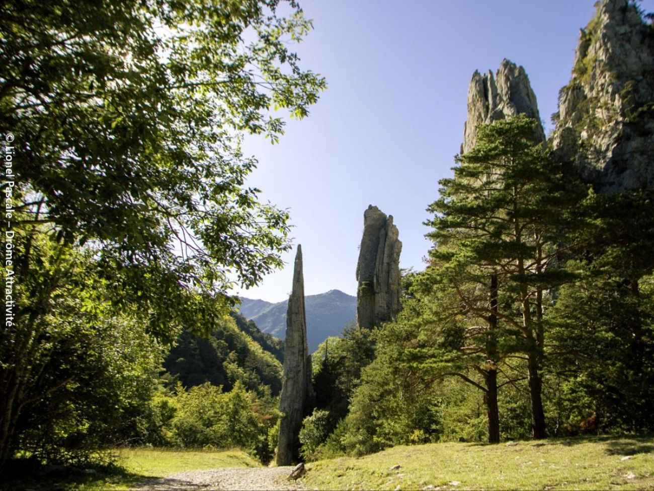
After the wooded valleys, open glades and alpine pastures, it's up to the imagination to find the drawbridge, totem pole, rocket, ice cream or sphinx drawn by the curious blades of tapered rock gilding their faces at the edge of the ruis...
-
Address
Borne
26410 Glandage - Phone 04 75 22 03 03
- Email Nous écrire
- Website See the website
Further information
- Free car park
- Car park
- French
Our tips
Details about route marking : Balisage PNR Vercors (Vert et jaune) -
To see the GPX, download the application
L’agence d’Attractivité de la Drôme cannot be held responsible for any problems encountered along the route.
Any problems encountered can be outlined here:
Author: Conseil Départemental de la Drôme - Apidae Tourisme
Updated on 13/10/2026
Through Conseil départemental de la Drôme
