
- 49.59 km
- 2h50
- Very difficult
- + 1026 m
Les quatres crêtes de Mirmande

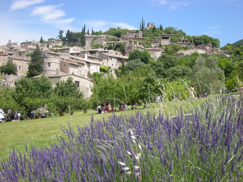
A long and complete walk that will allow you to discover the beauty of our natural environment, between the forests of Mirmande and Marsanne.
Starting at the bottom of the village, this route takes you up to the Church of Sainte Foy, then through the pine forest to Petit Jean. Then the Crêtes de Mallivert, on a false flat, before descending a steep, stony path on the Tube, then the Col de la Papillière, to climb back up through the Forêt de Marsanne to the Gros Fayard. You then descend to the Col de la Grande Limite, crossing the D57 to head for La Joliette, the Trou du Loup, the Voiture Brûlée and the ascent of the Crêtes de Peygrand. Descend to La Prairie, then La Combe de Cheneyson, where you cross the D204 and pass over the Teysonne stream to arrive at Martin before Les Petits Rigauds. You climb steeply again to exit at Les Radisses and emerge at Col Gouste Soulet. Follow the Crête du Mont Giers to descend steeply back to Berret, where you must cross the D57 to continue on towards Sauvan and Mirmande. Itinerary on sale at Livron-sur-Drôme, Loriol-sur-Drôme and Mirmande tourist offices.
-
Address
Bas du village
26270 Mirmande - Phone 04 75 63 10 88
- Website See the website
Further information
- Public WC
- Restaurant
Our tips
Details about route marking : Balisage VTT (Jaune) - Boucle N°9 noir
To see the GPX, download the application
L’agence d’Attractivité de la Drôme cannot be held responsible for any problems encountered along the route.
Any problems encountered can be outlined here:
Author: Conseil Départemental de la Drôme - Apidae Tourisme
Updated on 13/10/2026
Through Conseil départemental de la Drôme