
Les pentes du Ferrand
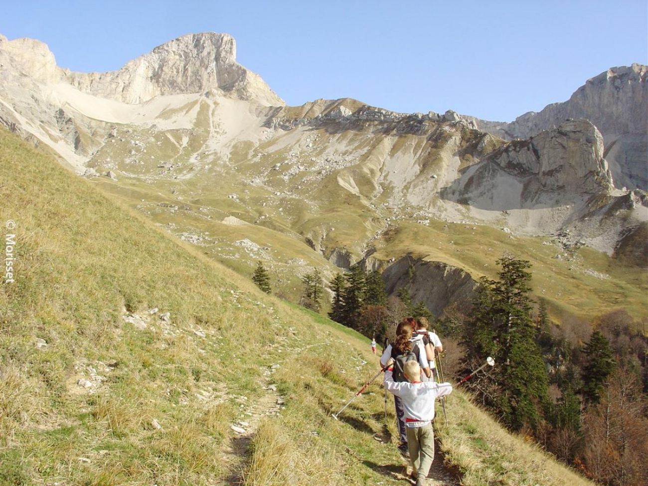
Yes, it's half the size of the Lac du Lauzon, but this path that cuts through the alpine pastures between sheep and cows is the balcony of the listed Jarjatte valley, with the added bonus of a view over the Trièves dominated by the 7th wonder of the Dauphiné: Mont-Aiguille.
-
Address
Parking du fond du vallon de la Jarjatte
26620 Lus-la-Croix-Haute - Phone 04 92 58 51 85
- Email Nous écrire
- Website See the website
Further information
- Free car park
- Car park
- French
Our tips
Details about route marking : Balisage PNR Vercors (Vert et jaune) -
To see the GPX, download the application
L’agence d’Attractivité de la Drôme cannot be held responsible for any problems encountered along the route.
Any problems encountered can be outlined here:
Author: Conseil Départemental de la Drôme - Apidae Tourisme
Updated on 13/10/2026
Through Conseil départemental de la Drôme
