
Les Escoulaires
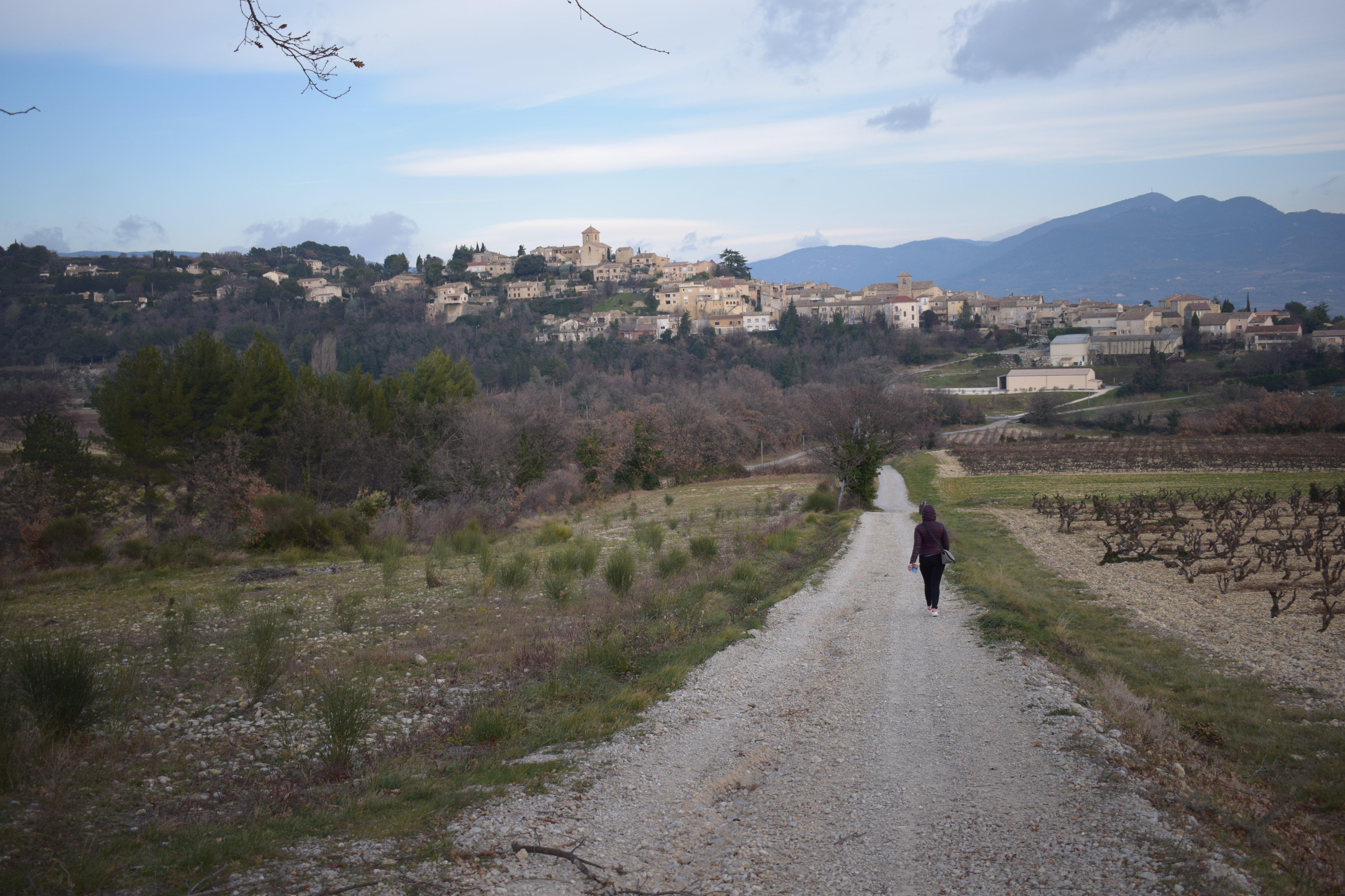
You'll pass through vineyards, orchards and some beautiful pine forests, all overlooking the Eygues valley.
Parking under the town hall. 1. Leave via Traverse Soutoviale, go down rue Reynarde to the crossroads (Croix de Mission), turn right and then immediately left, going up to Bastide St Jacques. Continue straight on for 150m, then turn right. The road, about 1km long, leads to the "Plan de Guerin" farm in 1h. Continue straight ahead to pass the winery (Caveau Rouanne, Les Crotes), then behind the Château de Rouanne. 2. About 300m further on, at the crossroads (Rouanne Les Crotes, alt. 215m), take the track on the right (signpost). Head due north through vineyards to a pine forest, which you must cross to reach the route de St Maurice. Follow the road. At the crossroads after the Chauvets farm, turn right up the asphalt road to the hamlet of Les Escoulaires (alt. 735m). 3. At this point, turn right onto an uphill gravel track. At the far right, a track leads to the plateau. From the vineyards, join the pinewoods. Go downhill for 400m and turn left onto a forest track that rises slightly. Steep, stony descent through pine woods before reaching the village.
- Address 26110 Vinsobres
- Phone 04 75 26 10 35
- Email Nous écrire
Details about route marking : Balisage PR (Jaune) -
L’agence d’Attractivité de la Drôme cannot be held responsible for any problems encountered along the route.
Any problems encountered can be outlined here:
Author: Conseil Départemental de la Drôme - Apidae Tourisme
Updated on 14/10/2026
Through Conseil départemental de la Drôme
