
Les chemins de nos aînés
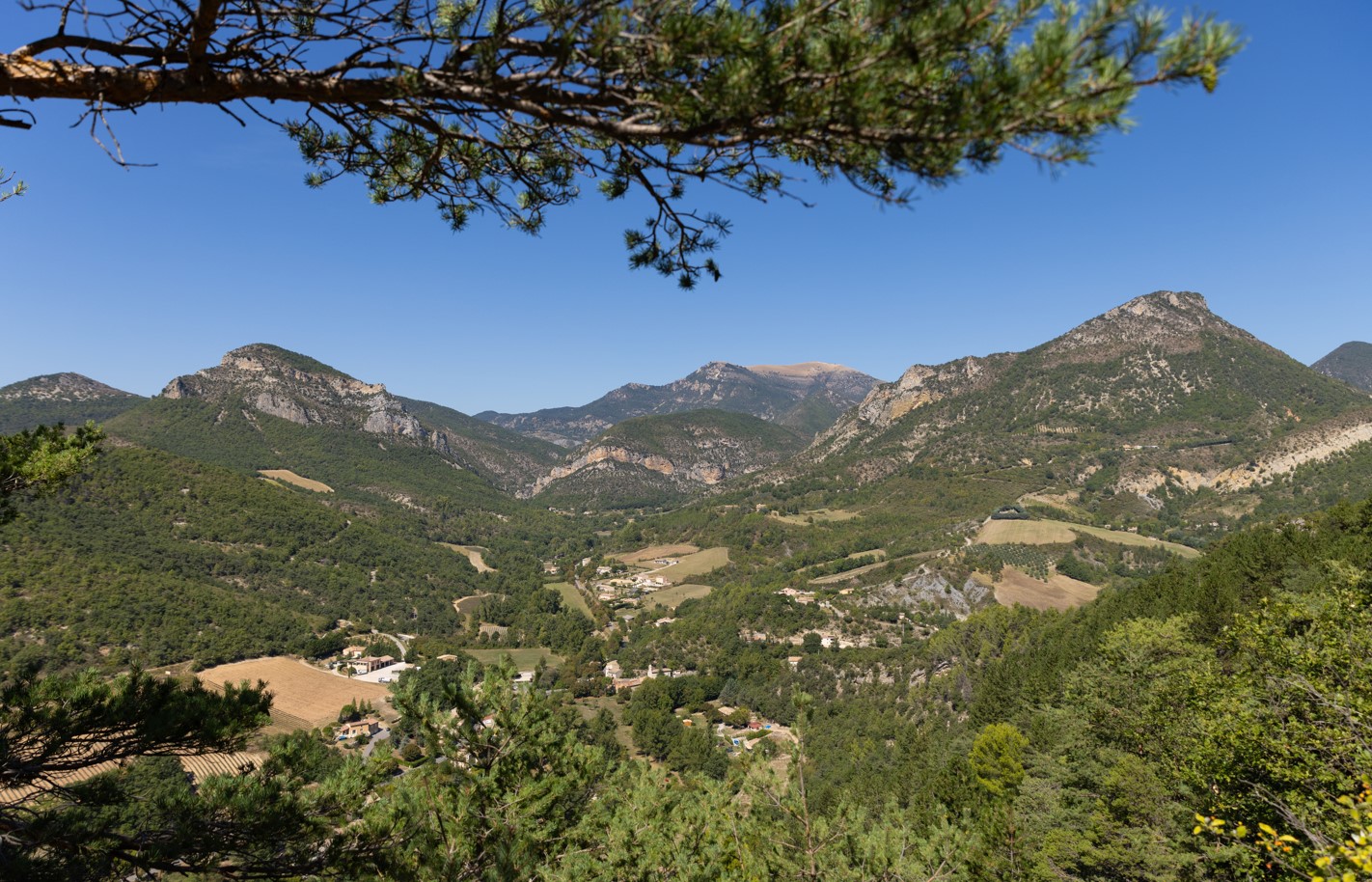
L'ensemble du paysage verdoyant est ponctué de marnes noires tandis que les vallons sont occupés de parcelles d'arbres fruitiers ou de lavande.
Parking lot 100m before the La Baume post (alt. 526 m): a few roadside spaces. 1. From the parking lot, reach the La Baume crossroads (alt. 526m), and follow the path up towards the Angelettes farm. Before reaching the upper farm, take a small path to the right. This becomes a path. 2. Reach the old Chaudebonne cemetery (full of charm, worth a visit), turn left to climb up to Col Renard. This is the old path that linked the village of Chaudebonne to the 2 hamlets of Estellon (approx. 4km). Today, to reach these 2 places by road, you'll need to travel more than 13km. 3. At the Col Renard signpost (alt. 939m), take the left-hand path towards Vautour. After 15 minutes from the Col, you'll pass the Barnier farmhouse (old ruined farmhouse with 2 large lime trees: ideal place for a picnic under the trees, superb view). Continue along the same path. 4. Come to a house; at the Vautour post (alt. 821m), take the track down to the left. 5. Caution: after approx. 1km, leave the track for a path on the left, descending steeply into the undergrowth. Return to the hamlet of La Baume.
- Address 26110 Saint-Ferréol-Trente-Pas
- Phone 04 75 26 10 35
- Email Nous écrire
- French
Details about route marking : Balisage PR (Jaune) -
L’agence d’Attractivité de la Drôme cannot be held responsible for any problems encountered along the route.
Any problems encountered can be outlined here:
Author: Conseil Départemental de la Drôme - Apidae Tourisme
Updated on 14/10/2026
Through Conseil départemental de la Drôme
