
Les balcons d'Autuche
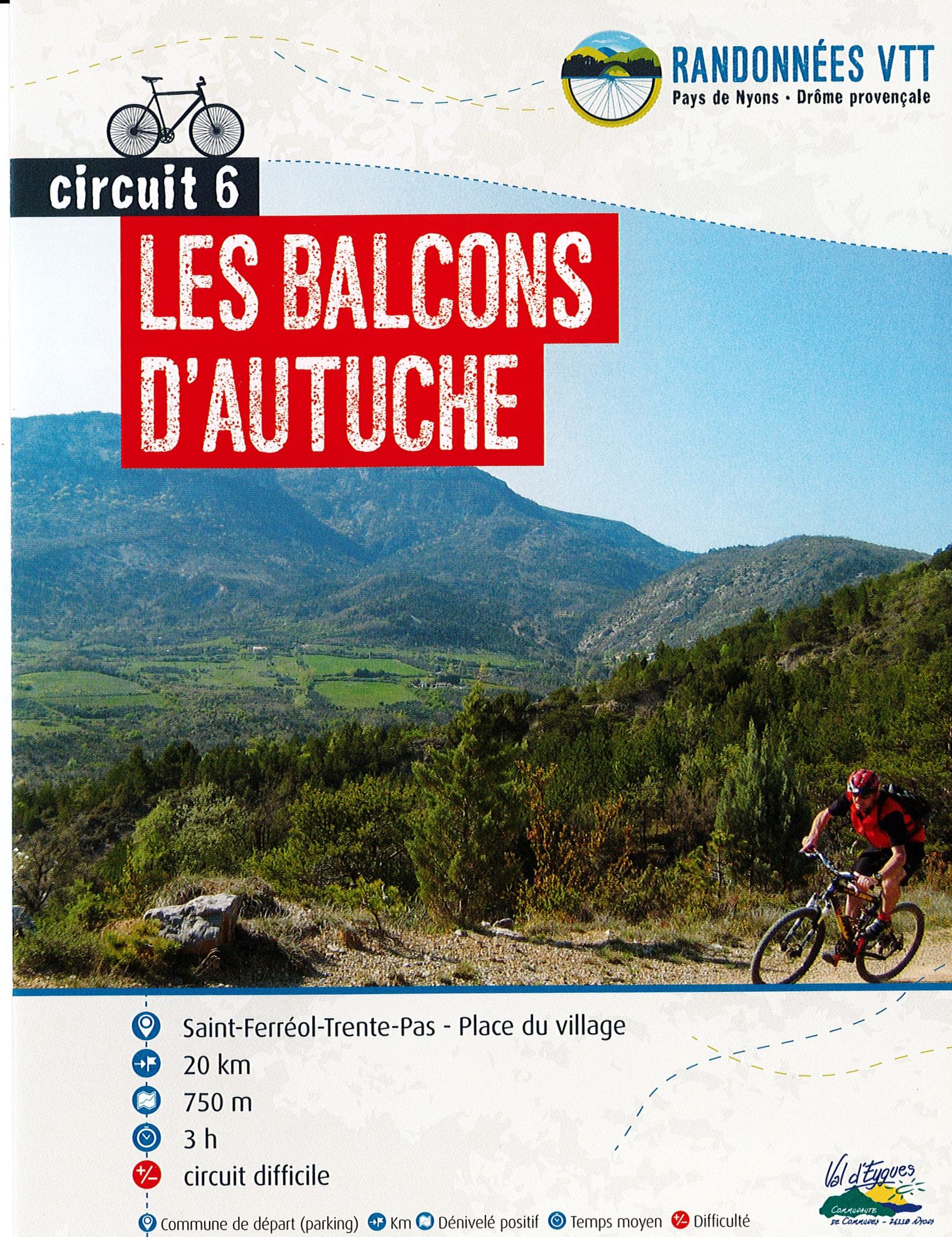
A physical circuit on both the ascent and descent, climbing the Col Aimond at the foot of the Mont Autuche, to take in the view of Mont Ventoux.
The route begins on a quiet road towards the Col de Valouse to cross the gorges. The route continues on an uphill track to Col Aimont, with a view of Mont Ventoux. Be careful, the descent is very stony, so keep your strength up, as you won't forget either the last climb or the final descent. Point 1: Village square (km 0). Point 2: Le s Tilleuls (km 0.06 - 420m) Left VTTn°6. Point 3: Avant Grange neuve (km 5.7 - 700m) Turn left off the D130. Point 4: Marinon (km 7.5 - 746m) Turn right. Point 5: Col Aimont (km 9.63 - 856m) Highest point on the circuit. Point 6: Col de Fonturière (km 10.91 - 775m) Turn left. Point 7: La piste (km 11.44 - 755m) Continue straight ahead on the track. Point 8: L'Echalette (km 14.47 - 755m) Turn left into private property. Big climb. Point 9: Pied de Reyssas (km 16.87 - 690m) In the hairpin bend, take the path straight ahead for 30m, then switch right onto the path, a fine descent to the campsite, then back to the village.
-
Address
Place du village
26110 Saint-Ferréol-Trente-Pas - Phone 04 75 26 10 35
- Email Nous écrire
Further information
- French
Our tips
Details about route marking : Balisage VTT (Jaune) - Boucle N°6 rouge
To see the GPX, download the application
L’agence d’Attractivité de la Drôme cannot be held responsible for any problems encountered along the route.
Any problems encountered can be outlined here:
Author: Conseil Départemental de la Drôme - Apidae Tourisme
Updated on 13/10/2026
Through Conseil départemental de la Drôme