
Le tour du plateau d'Eyroles
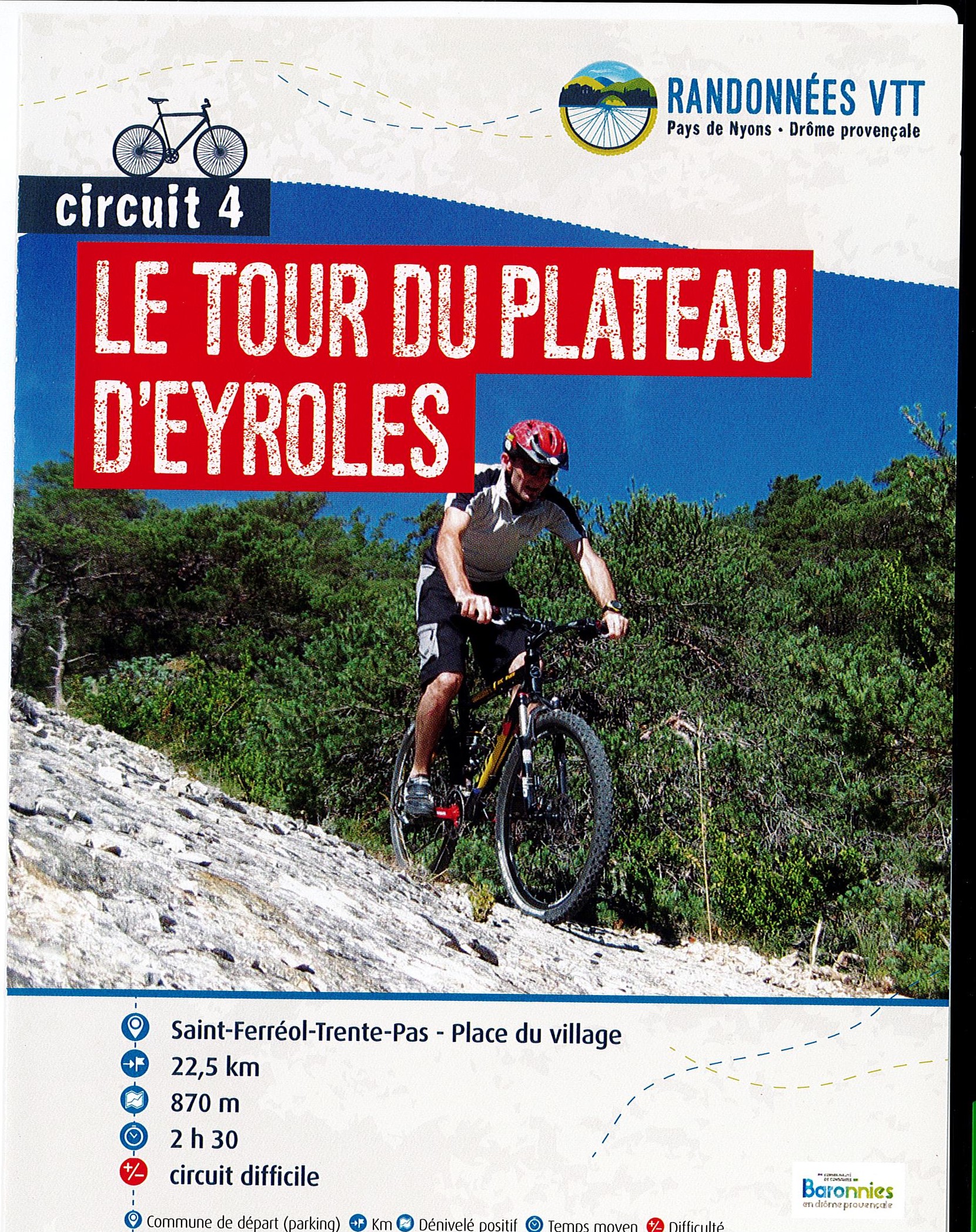
A sporty route, physical fitness and piloting are the order of the day, with a series of more or less steep ascents and descents. Panoramic views from the summit of La Garde and a downhill finish.
Point 1: Village square (km 0). Point 2: Cemetery (43m) Turn right, drive 2.5km on the RD 567, at the end of the climb, take the track on the left towards the pylon. Stay on the ridge until you reach Col de Fabre. Point 3: Col de Fabre Turn right Point 4: La Rotas Turn right onto the asphalt track on the way down. Pass Pied de Bedoin, staying on the main trail. Point 5: Route de Sahune Turn left, leaving the RD 567 in the épingl by the road opposite. Follow it to Col de Brus. Point 6: Col de Brus Turn right, then right again after 150m. Point 7: La Chamade Turn left 20m before the post. Point 8: Col du Roux Turn left. Point 9: Les Plateaux Left turn: sommet de la garde loop. Back at the plateau, fork left (steep descent). Point 10: Chemin d'Eyroles Turn left. Point 11: La Garde Continue on the track for 150m, then turn left. Point 12: La Passerelle Continue on the track for 150m, then turn left. Point 13: Condorcet Turn right towards Condorcet Point 14: Pied Chevrier Turn left towards Saint-Pons Point 15: Le Col Descend to the right, steep and technical passages, possibility of descending by road.
-
Address
Place du village
26110 Saint-Ferréol-Trente-Pas - Phone 04 75 26 10 35
- Email Nous écrire
Further information
- French
Our tips
Details about route marking : Balisage VTT (Jaune) - Boucle N°4 rouge
To see the GPX, download the application
L’agence d’Attractivité de la Drôme cannot be held responsible for any problems encountered along the route.
Any problems encountered can be outlined here:
Author: Conseil Départemental de la Drôme - Apidae Tourisme
Updated on 13/10/2026
Through Conseil départemental de la Drôme

