
Le tour de Saint-Jaume - Plateau des Cailles
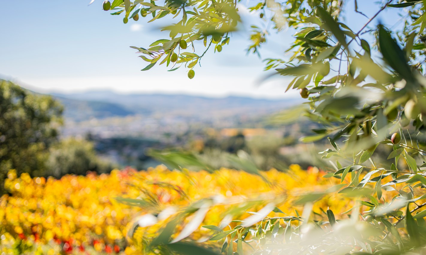
This circuit is a condensed version of the Nyons region: olive groves, truffle fields, vineyards, the Eygues valley, mountains... in Mediterranean vegetation. A little climbing and a rocky ridge to boot!
Parking In the hamlet of Saint-Rimbert, route du Col Lacroix. Park 200 m after the starting post. 1. At Poteau St Rimbert, take the small road leading to the hamlet, cross it. 2. Go past the "villa Saint-Rimbert" and take the small tarmac road on the left. 3. After 300 m, take the small broom-lined track opposite, which runs alongside a property; continue until you reach a substantial widening. 4. Turn right onto a narrow path. Follow it to a fork a few metres after a fence. Turn right onto a path leading to a road. 5. Turn left onto a tarmac road and follow it for 2.5 km. Follow the signs to the various junctions. 6. At the intersection with the D185 (stop sign), turn left; follow the road for 1 km. At a bend in the road, look out for the start of a small staircase on the left, and take it. 7. The fairly steep path joins a track a little further up; follow it uphill past cultivated fields and olive orchards. The track narrows to give way to a path that climbs towards the Saint Jaume mountain. 8. At the path junction, turn right. Continue along the same route towards the summit of Saint Jaume, passing an electricity pylon. Follow the ridge for 200m, then descend to the right (steps in the rocks). Continue along the bottom of the rock face for 100m, then turn right. The path joins the Col de Saint-Jaume (alt. 719 m). 9. Head downhill, walk 300 m then, at the crossroads, take a small track straight ahead. Stay on the downhill path, keeping the Saint-Jaume ravine on your left. 10. When you reach the road, turn left to reach the parking lot.
- Address 26110 Nyons
- Phone 04 75 26 10 35
- Email Nous écrire
- French
Details about route marking : Balisage PR (Jaune) -
L’agence d’Attractivité de la Drôme cannot be held responsible for any problems encountered along the route.
Any problems encountered can be outlined here:
Author: Conseil Départemental de la Drôme - Apidae Tourisme
Updated on 13/10/2026
Through Conseil départemental de la Drôme
