
Le rocher de Vic
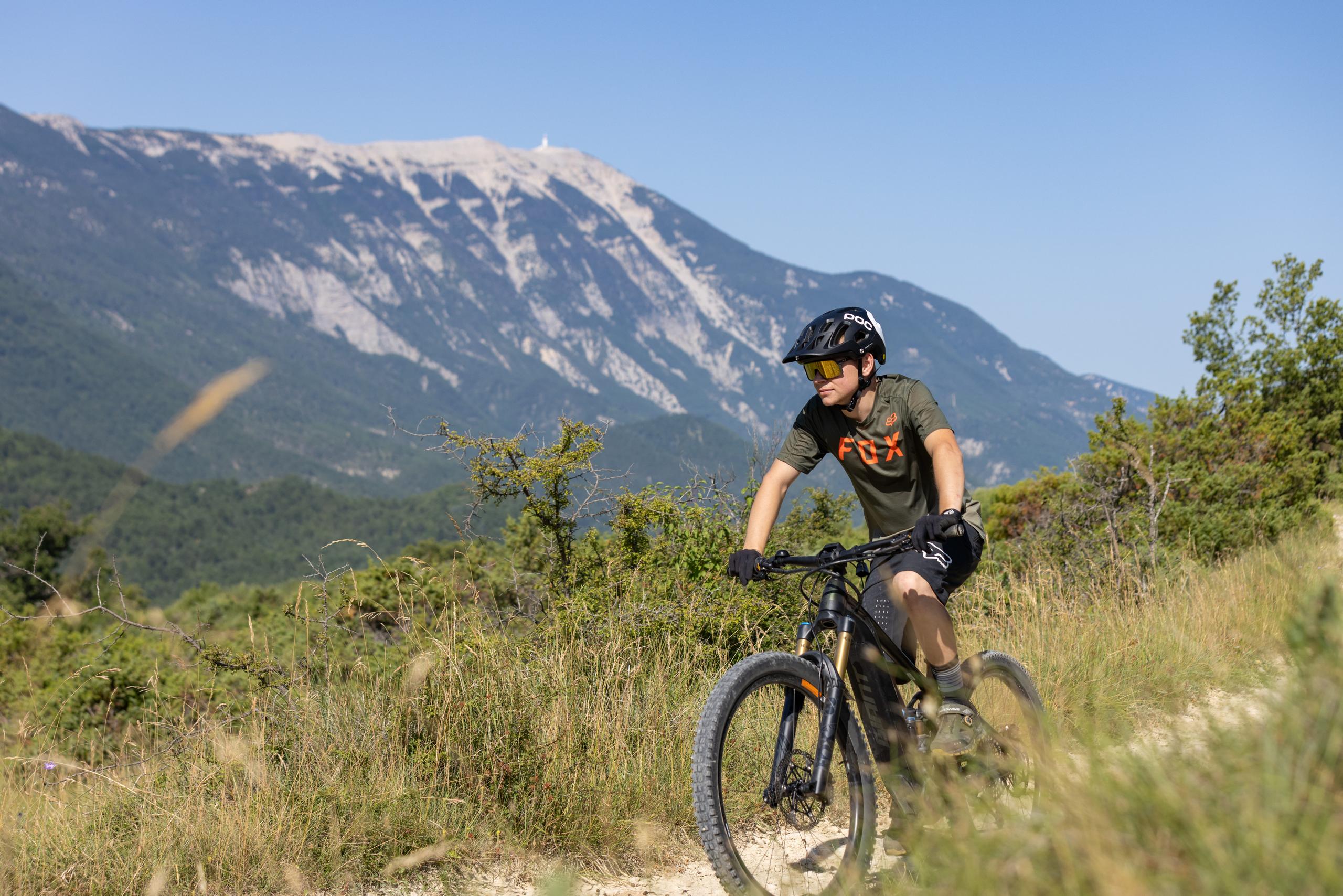
A short walk with a rural feel, offering beautiful views of Mont Ventoux and Vic rock.
Point 1: Montbrun-les-Bains Tourist Office (km 0 - 610m) Follow signs for Aulan. Point 2: Pont de Vénéjean (km 1.7 - 593m) Take the bridge on the left and then the uphill track on the left. Point 3: Col de Vic (km 3 - 703m) Follow the track to the right, then 100m further on, turn left. Point 4: Sous le rocher de Vic (km 4 - 680m) Caution, steep descent. Point 5: Ferme de la Molarde (km 5 - 565m) Take a slight left, turn right onto the track, then left 100m further on. Point 6: Pierre Vortier (km 5.4 - 532m) Turn right and climb to Col de Vénéjean. Point 7: Col de Vénéjean (km 7.3 - 651m) Descend the track to the Vénéjean bridge. Point 8: Pont de Vénéjean (km 8.5 - 593m) Turn left at the bridge, then right on the D159. Return by the same route as the outward journey. Point 9: Montbrun-les-Bains Tourist Office (km 10.42 - 610m)
-
Address
L'Autin
26570 Montbrun-les-Bains - Phone 04 75 28 82 49
- Email Nous écrire
Further information
- French
Our tips
Details about route marking : Balisage VTT (Jaune) - Boucle N°12 bleu
To see the GPX, download the application
L’agence d’Attractivité de la Drôme cannot be held responsible for any problems encountered along the route.
Any problems encountered can be outlined here:
Author: Conseil Départemental de la Drôme - Apidae Tourisme
Updated on 13/10/2026
Through Conseil départemental de la Drôme

