
Le ravin des Loups
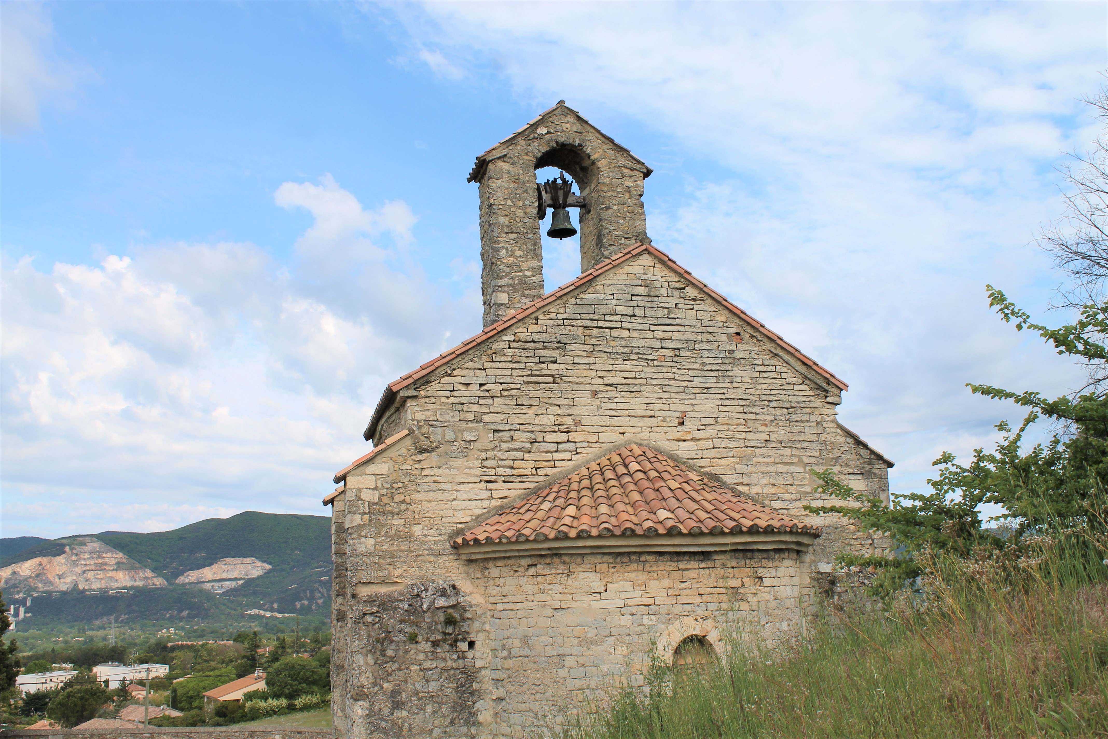
Discover Marsanne's forest and its surroundings by walking through forest paths.
From the chapel, walk down Chemin de Serre-Joanna until you reach the stream. Cross it and walk alongside during 200 metres. Cross it again and walk up a climbing path. Stay on the climbing path at the junction. In a main turn on the left, take the DFCI path. Keep the path until the next junction. Turn left to walk down and reach back the road. Turn left and follow the road to the starting point.
-
Address
Chapelle Saint-Didier
Rue Serre Joanna
26740 Les Tourrettes - Phone 04 75 01 00 20
- Email Nous écrire
- Website See the website
- French
Details about route marking : Balisage PR (Jaune) -
L’agence d’Attractivité de la Drôme cannot be held responsible for any problems encountered along the route.
Any problems encountered can be outlined here:
Author: Conseil Départemental de la Drôme - Apidae Tourisme
Updated on 13/10/2026
Through Conseil départemental de la Drôme
