
Le Poët
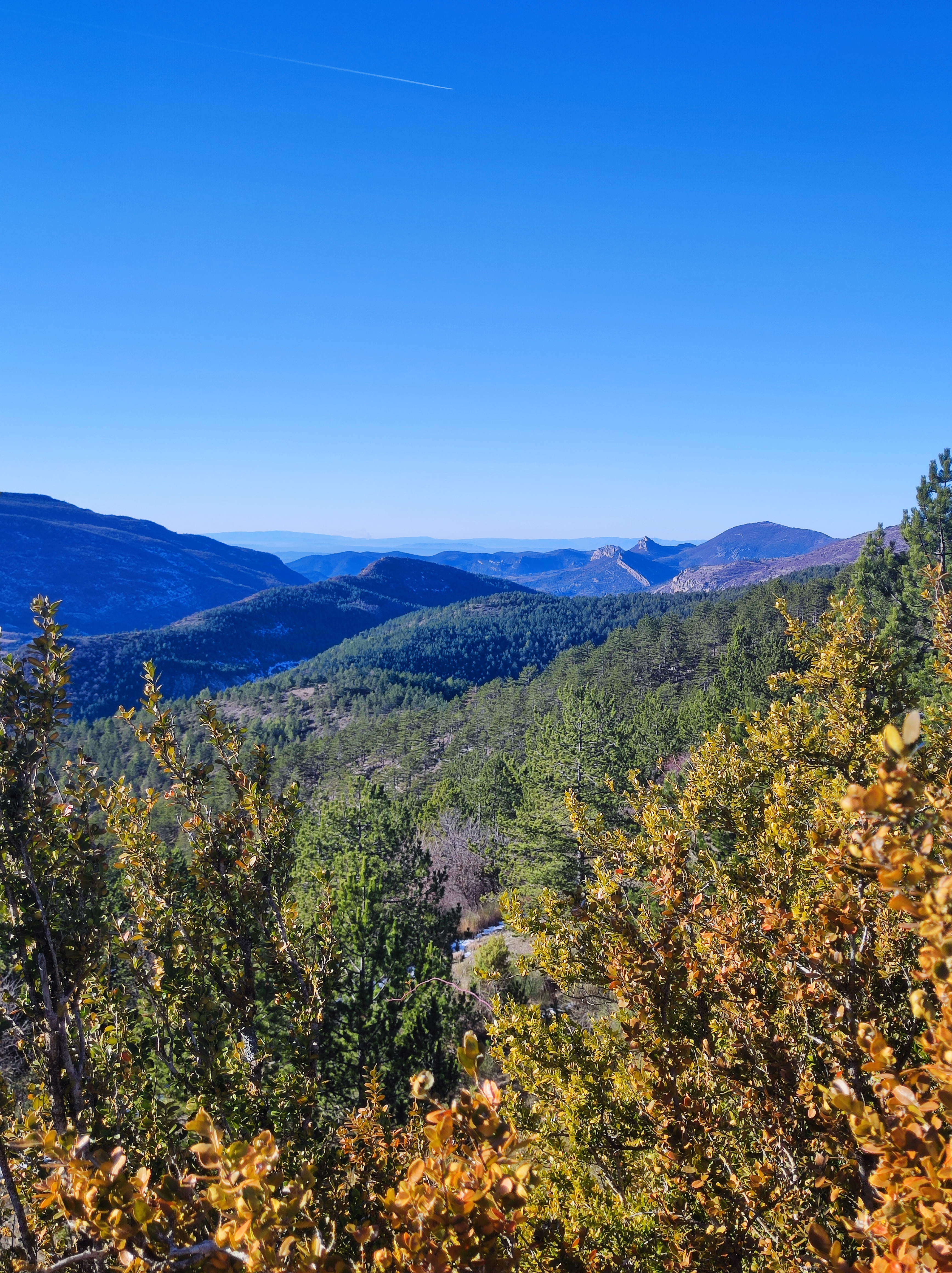
A long loop through the characteristic landscapes of the Provençal Baronnies, with views of Mont Ventoux.
Point 1: Place du Quinconce (km 0 - 371m) Cross the Ouvèze bridge, turn left and take the first road on the right. Point 2: Font de Ladon (km 1 - 405m) Continue straight ahead on the main road for 3.8km. Junction 3 (km 4.9 - 518m) Turn right, climb 300m, then left towards La Viste. Point 4: Bridge over stream (km 8.5 - 656m) Go straight on for 150m, then turn right. Keep right at the next two intersections towards Pré Laugier. Point 5: Lake below (km 9.9 - 778m) Follow the main track to the right, then fork slightly right at the next junction. The track climbs for 3km, then at a crossroads, continue straight on. Point 6: Col de Geine (km 13.6 - 999m) Turn left, then left again 70m further on to pass a farm at Les Flaux. Point 7: Col de la Jas (km 15.8 - 1068m) Pass the sheepfold and descend to the left, following the GR91. Point 8: Junction (km 16.9 - 900m) Turn left, leaving the GR91 behind, to take a small path that joins a track on the right. Point 9: Ford (km 18.65 - 828m) Cross the ford and turn left. Junction 10: D527 (km 18.8 - 790m) Drive 180m and turn left. Follow the signs: the route alternates between tracks and roads to reach the village of Le Poët-en-Percip. Point 11: Le Poët-en-Percip, place du tilleul (km 21.4 - 1013m) Opposite Le Poët-en-Percip, join the GR91. Leave it 150m further along, going straight ahead on a footpath. Point 12: Crossroads (km 22 - 999m) Take the left-hand track for 350m. Join another track which you follow to the left. Point 13: Charbonel (km 23.3 - 1043m) Turn right and stay on the main track: let the GR91 go right towards the Col des Tunes. Junction 14 (km 25 - 1031m) Turn right at the ONF gate, slightly uphill. Point 15: Col de Sanguinet (km 26.5 - 1080m) Turn left, then left again 200m further on. Point 16: La Coste (km 27.8 - 952m) Turn right, then go straight on for 150m, ignoring the track on the right and continuing westwards. At the 1st track junction, continue straight on, then 100m further on, ignore the track which rises to the right. Continue for 60m and take the stony path opposite. Difficult descent (km 30.30 - 811m). Point 17: Château de La-Roche-sur-le-Buis (km 32 - 600m) The path turns into a track at the Château de La-Roche-sur-le-Buis. Descend to the village and take the tarmac road towards Buis-les-Baronnies. Point 18: Leaving the village (km 32.3 - 560m) Leave the asphalt road and turn right through the olive groves onto a footpath. At the track intersection, fork left and descend to the departmental road. Follow it for 1.1km (km 33 - 535m). Turn left towards the Menon river, and after 200m, turn right at the flat and cross the footbridge, then turn right. Follow the road to Buis-les-Baronnies. Point 19: Place du Quinconce (km 36.05 - 371m)
-
Address
Place du Quinconce
26170 Buis-les-Baronnies - Phone 04 75 28 04 59
- Email Nous écrire
Further information
- French
Our tips
Details about route marking : Balisage VTT (Jaune) - Boucle N°4 noir
To see the GPX, download the application
L’agence d’Attractivité de la Drôme cannot be held responsible for any problems encountered along the route.
Any problems encountered can be outlined here:
Author: Conseil Départemental de la Drôme - Apidae Tourisme
Updated on 13/10/2026
Through Conseil départemental de la Drôme

