
Le muletier
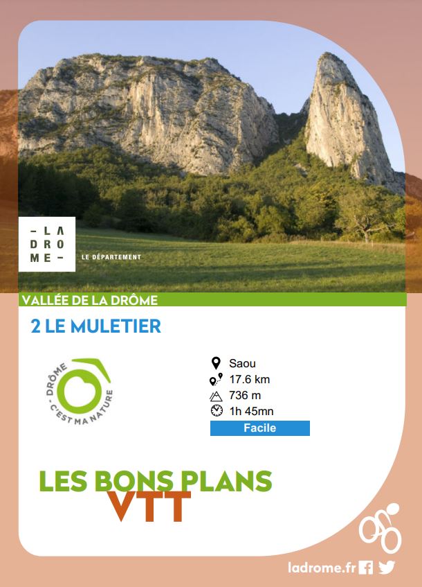
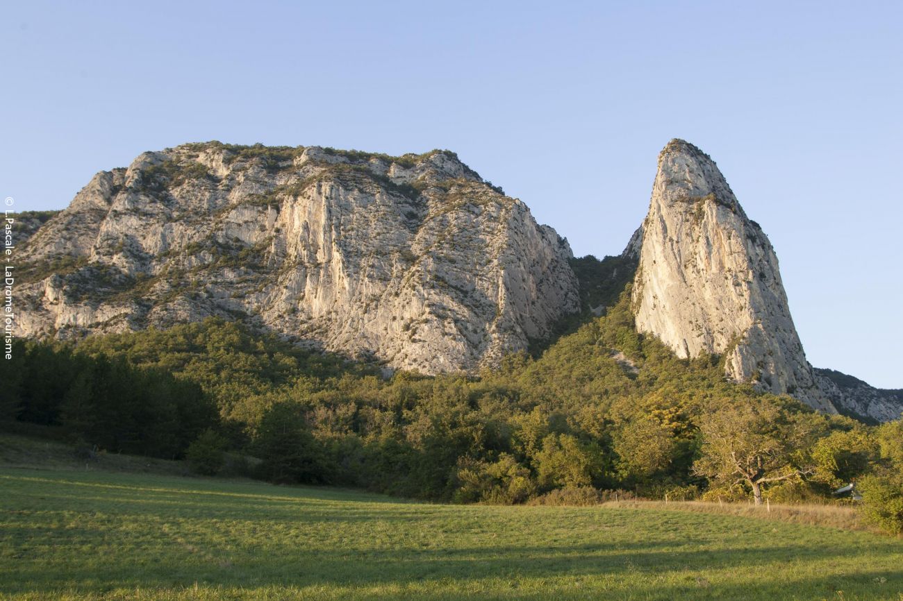
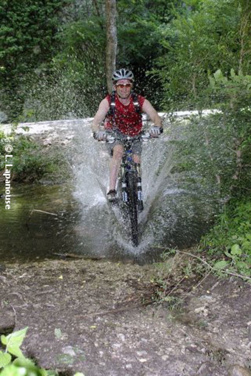
A circuit in the Saoû forest where you'll take the tourist trail before descending the mule track. This is a technical descent, with some stony sections requiring caution!
The Saoû forest, acquired under the Espaces Naturels Sensibles policy, is the Department's largest property (2,500 ha). A "classified site" since 1942, it is today
-
Address
Parking à l’entrée du village sur la D538 depuis Crest
26400 Saoû - Phone 04 75 63 10 88
- Website See the website
Further information
- Pets welcome
- French
Our tips
Details about route marking : Balisage VTT (Jaune) - Boucle N°2 bleu
To see the GPX, download the application
L’agence d’Attractivité de la Drôme cannot be held responsible for any problems encountered along the route.
Any problems encountered can be outlined here:
Author: Conseil Départemental de la Drôme - Apidae Tourisme
Updated on 13/10/2026
Through Conseil départemental de la Drôme
