
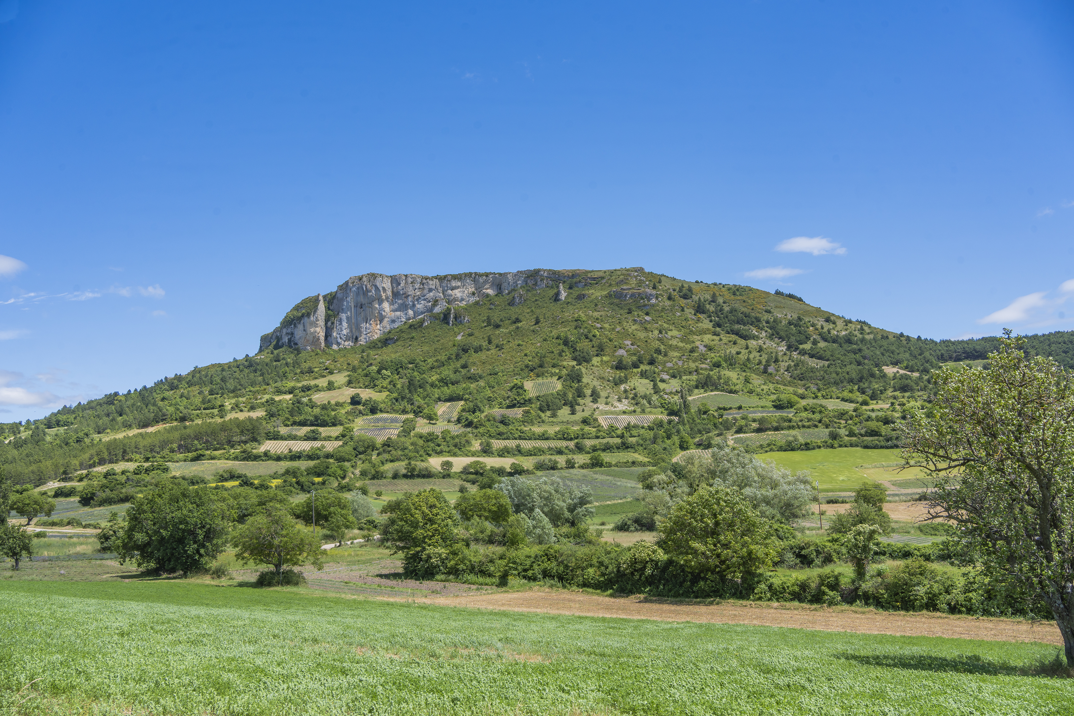
Le Fort
Point 1: Mévouillon, free-flight center (km 0 - 849m) Turn right onto the D546 towards Mévouillon. Take the first road on the right, go straight ahead at the first intersection, then slightly left at the second (km 0.2 - 855). Point 2: Junction (km 0.7 - 895) Turn left towards the hamlet of Col. Point 3: Hameau du Col (km 1.4 - 915m) Turn left onto a track which becomes a small road, joining the main road. Point 4: D546 (km 1.6 - 889m) Cross the D546 and take the track opposite. Pass the Chanaux farm to reach the Pied de Buc junction, turn right to reach Mourès. Point 5: Mourès (km 3.1 - 956m) Turn right, then left on the downhill track. Point 6: Bifurcation (km 4.2 - 906m) Take the 3rd track from the right, following the main route to the Col d'Aulan. Point 7: Col d'Aulan (km 5.9 - 847m) Turn right onto the road and follow it for 1.6km. Point 8: La Honas (km 7.5 - 780m) 200m after La Honas, leave the road to join a track on the right and cross a stream. Point 9: D546 (km 8 - 794m) Turn left on the road for 250m, then right up a track in the undergrowth and fork right at the crossroads. Point 10: L'Hôtes (km 9.2 - 823m) Continue straight on towards the village of Gresse. Point 11: Village de Gresse (km 10 - 794m) At the intersection above the village, turn slightly left. (VARIATION: Go right downhill to catch the D546. Follow the road to the left to reach the starting point). Point 12: Cemetery (km 10.6 - 850m) Turn right, then left again. Continue in the direction of Pelleret, following the main track over the Col de Riousse (km 11.7 - 954m). Point 13: Pelleret (km 13.6 - 940m) Continue east towards Hameau d'Aumage. Point 14: Hameau d'Aumage (km 14.5 - 895m) At the entrance to the hamlet, take the path on the right. Point 15: D234 (km 15.7 - 845m) Follow the road to the left, continue for 450m, then turn right at the crossroads. Drive 600m, then fork left towards La Farette. Point 16: La Farette (km 17.2 - 843m) Cross the hamlet to join the D546, follow it to the left to the starting point. Point 17: Mévouillon, free-flight center (km 17.92 - 849m)
-
Address
6, Route du berceau des Baronnies
26560 Mévouillon - Phone 04 75 28 04 59
- Email Nous écrire
Further information
- French
Our tips
Details about route marking : Balisage VTT (Jaune) - Boucle N°10 bleu
To see the GPX, download the application
L’agence d’Attractivité de la Drôme cannot be held responsible for any problems encountered along the route.
Any problems encountered can be outlined here:
Author: Conseil Départemental de la Drôme - Apidae Tourisme
Updated on 13/10/2026
Through Conseil départemental de la Drôme

