
Le Col Naturel
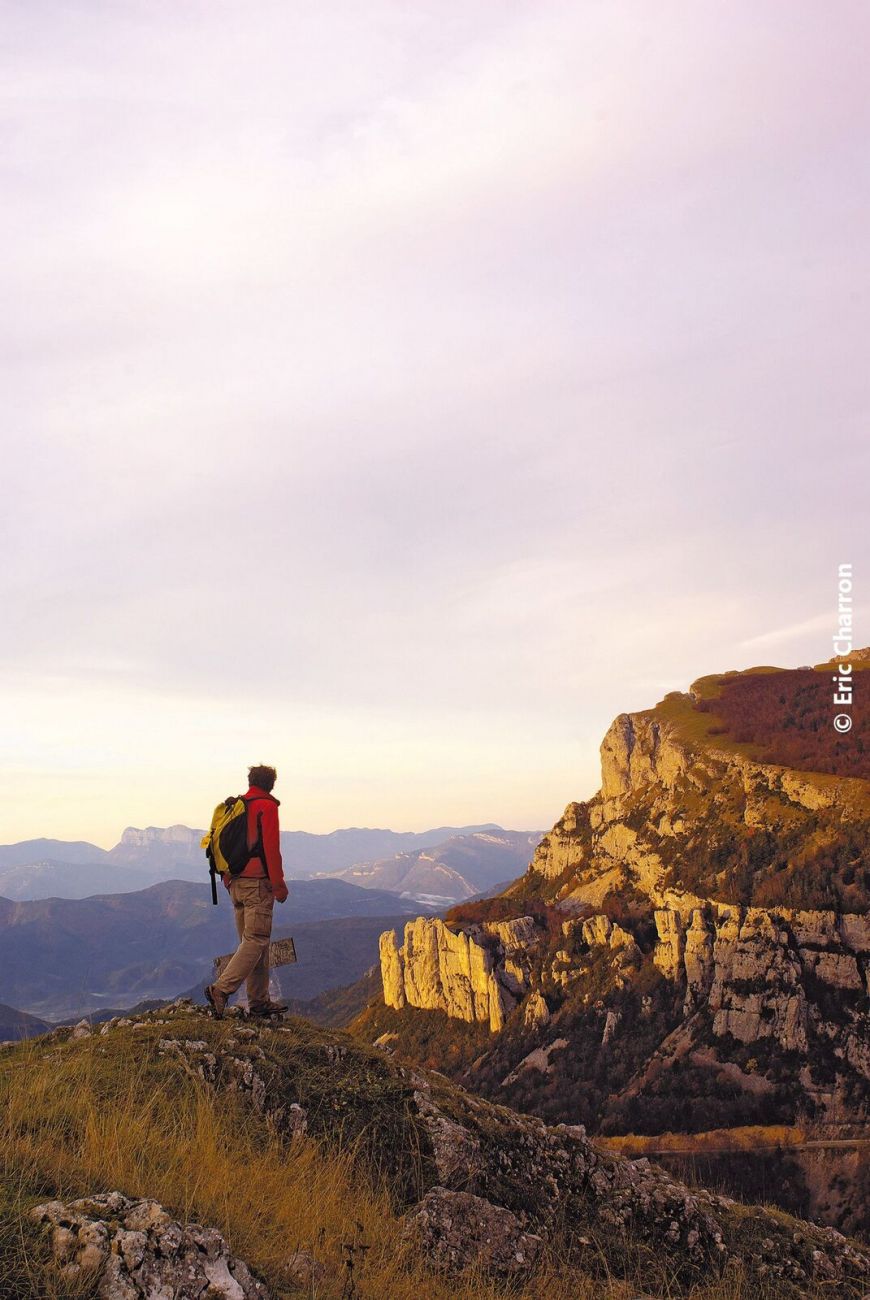

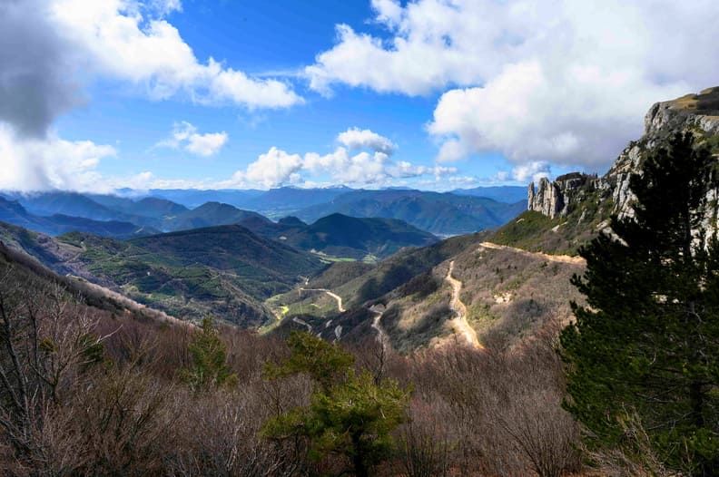
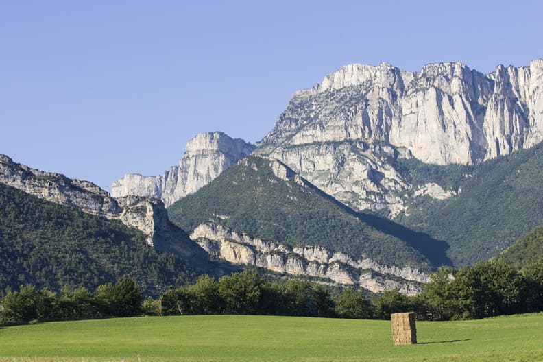
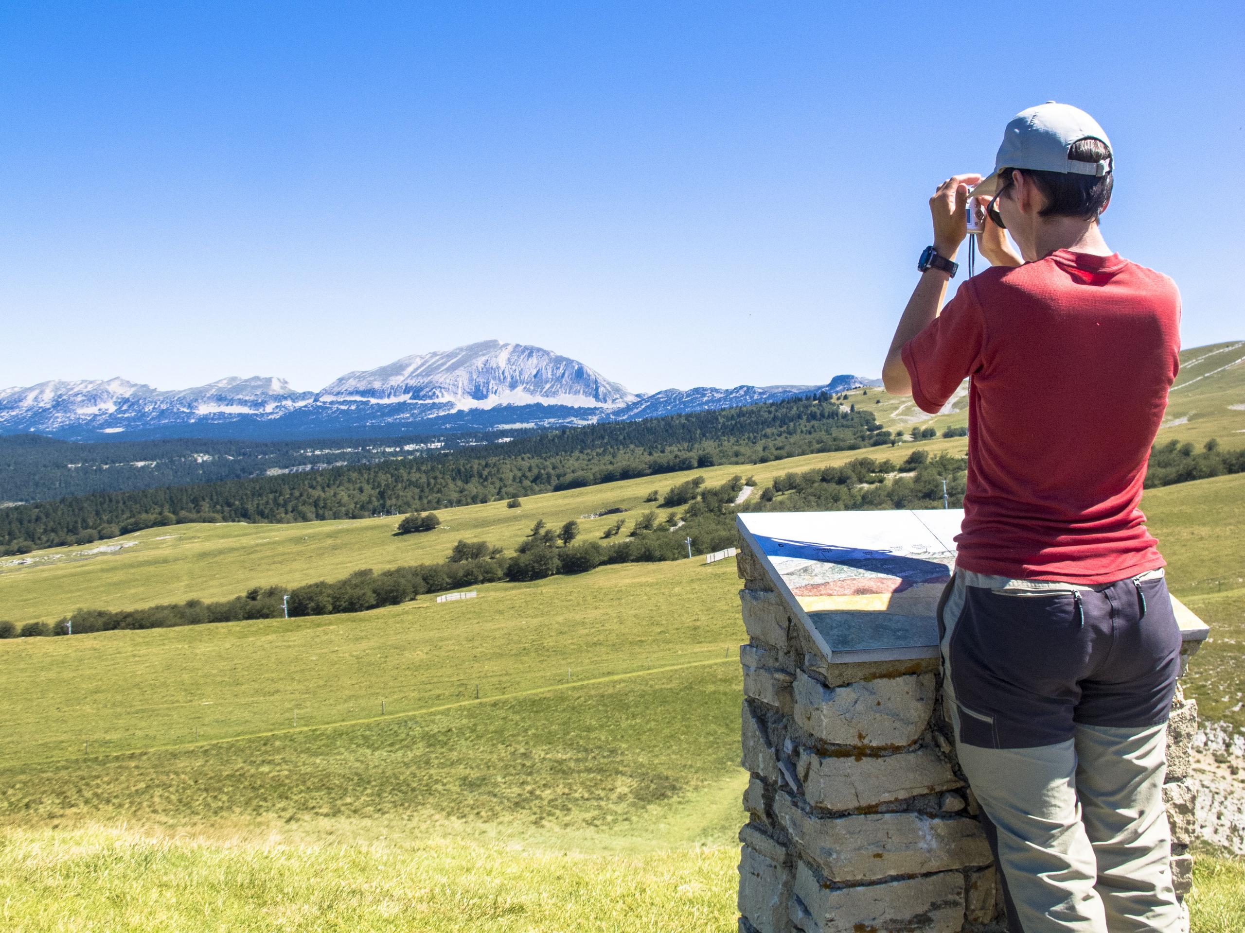
The Col Naturel de Rousset, located on one of the old communication routes between Die and Grenoble, was in use until 1875. From the belvedere, a breathtaking view of the Die valley, the Glandasse, the Hauts Plateaux Nature Reserve, the balcony is...
Start from the Col de Rousset station (parking lot), cross the roundabout and follow the road to Vassieux en Vercors, before picking up a track 100m further on (Grande traversée du vercors) which goes off to the left behind the large DDE building. Follow this until you reach the "Les Gauras" crossroads, then turn left to climb up through the forest and then onto a lawn to reach "Col Naturel" (exceptional viewpoint over the whole region). At this crossroads, you find the GR93 from Vassieux en Vercors, which you must take to reach "La Combe". The return to "Col de Rousset" ends with an itinerary that crosses part of the resort's ski area.
-
Address
station du col de Rousset
26420 Saint-Agnan-en-Vercors - Phone 04 75 48 22 54
- Email Nous écrire
- Car park
- Public WC
- Orientation board
Details about route marking : Balisage PNR Vercors (Vert et jaune) -
L’agence d’Attractivité de la Drôme cannot be held responsible for any problems encountered along the route.
Any problems encountered can be outlined here:
Author: Conseil Départemental de la Drôme - Apidae Tourisme
Updated on 13/10/2026
Through Conseil départemental de la Drôme
