
Le Col de Fabre
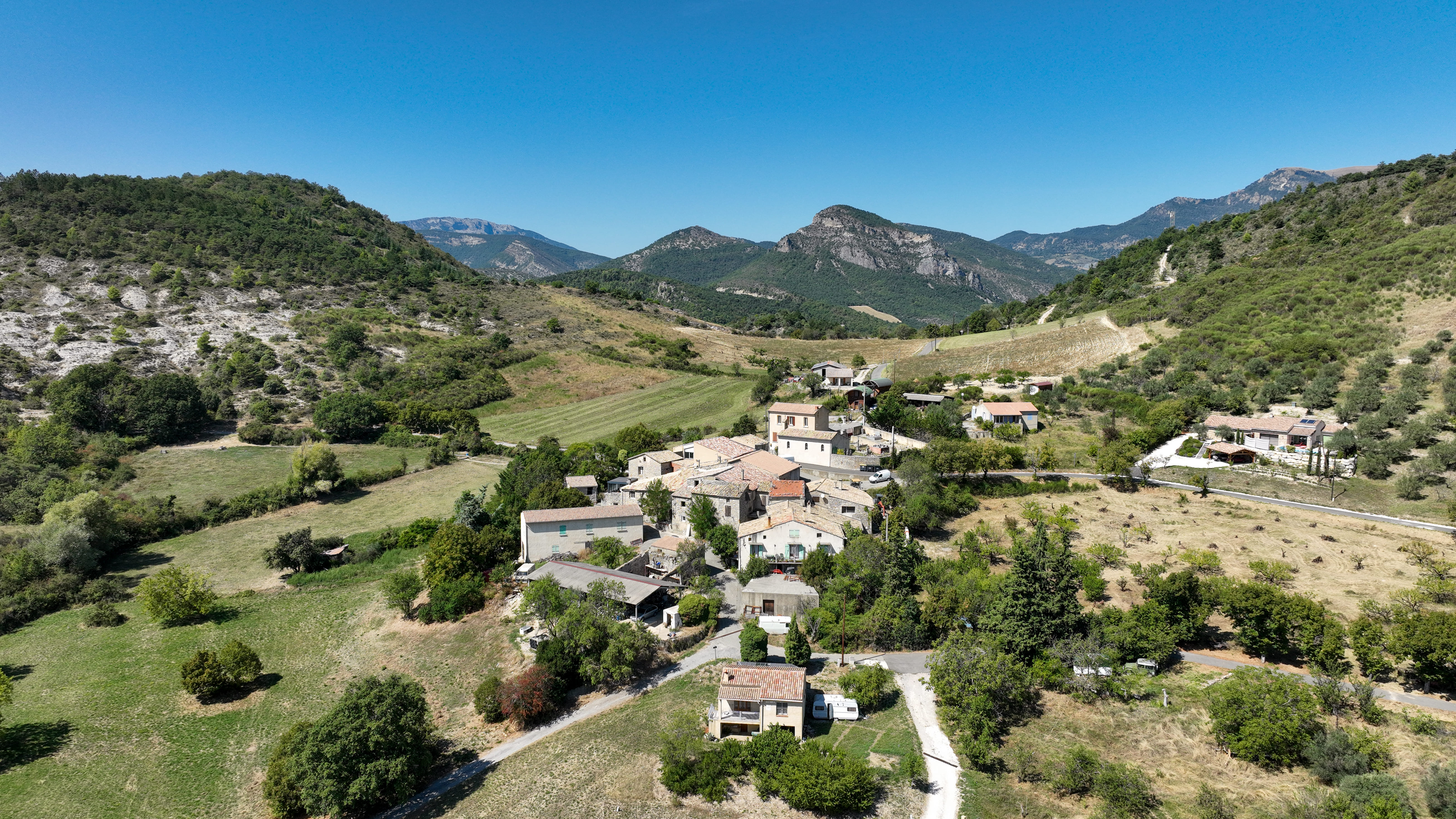
The tour takes in the surroundings of St-Ferréol-Trente-Pas and Eyroles. Take a break along a small stream. Once you've reached the Col de Fabre, the highest peak in the area, Montagne d'Angèle, at 1,606m, looms up in front of you.
Beware of slippery, rocky descent. Point 1: Village square Point 2: Cemetery right, follow Eyroles Point 3: Eyroles Go down into the village on the right, then take the first right Point 4: Route fork Leave the main track to the left on the downhill path, fork right at the next intersection. On the asphalt road, turn right. Continue for 150 m on the D567 and take the right-hand track. At the next intersection, turn left. Point 5: La camade Take a slight left onto RD 567 and fork right. Point 6: Ruisseau After crossing the ford, leave the rising path on the left, staying alongside the stream. Point 7: Road Turn left up to the "Route de Sahune" crossroads. Point 8: Route de Sahune turn right and drive 2km Point 9: Le Rotas Turn left 10: Col de Fabre Take the downhill track on the left Point 11: Le monestier Go straight on between the houses, turn right at the first intersection, then left at the second.
-
Address
Place du village
26110 Saint-Ferréol-Trente-Pas - Phone 04 75 26 10 35
- Email Nous écrire
Further information
- French
Our tips
Details about route marking : Balisage VTT (Jaune) - Boucle N°3 bleu
To see the GPX, download the application
L’agence d’Attractivité de la Drôme cannot be held responsible for any problems encountered along the route.
Any problems encountered can be outlined here:
Author: Conseil Départemental de la Drôme - Apidae Tourisme
Updated on 13/10/2026
Through Conseil départemental de la Drôme

