
Le Chilet
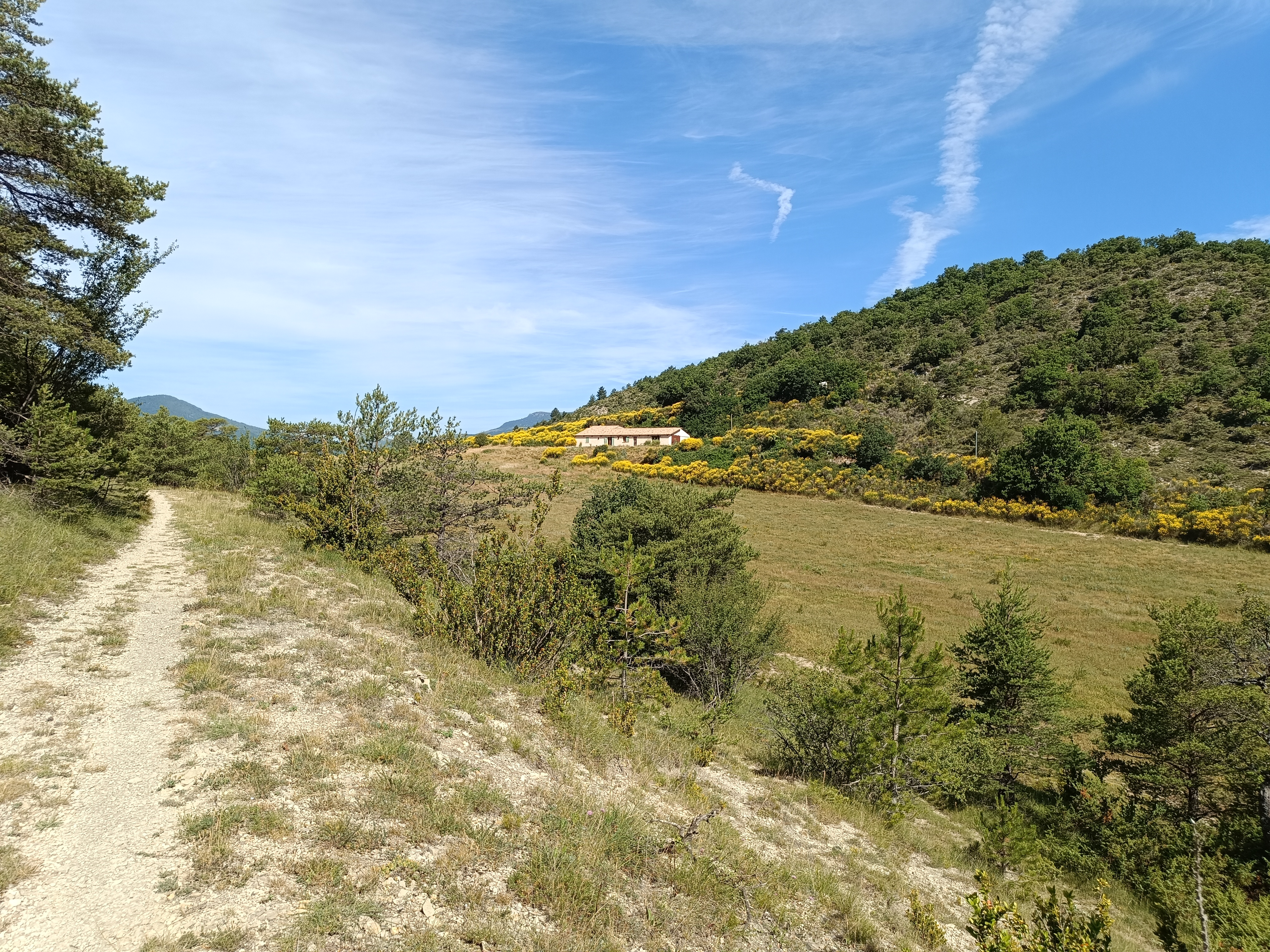
Point 1: Montbrun-les-Bains Tourist Office (km 0 - 610m) Follow signs for Aulan. Point 2: La Combe Aubert (km 1.4 - 597m) Turn right onto the small asphalt road. Point 3: Citadelle (km 2.4 - 685m) Climb left, passing behind a small hill; after driving 650m, keep left at the crossroads. Point 4: Tremol (km 3 - 700m) Head uphill towards Boucoule. At the first intersection, continue uphill to the right. Drive for 400m, then take the left-hand path blocked by a chain. Take the path heading northeast down to the Boucoule ravine. Point 5: Chemin de la Boucoule (km 5.1 - 720m) Cross a small stream to reach a track, follow it to the left. Point 6: La Boucoule (km 5.4 - 744m) 50m before a small quarry, take the narrow path on the left. Point 7: Croisement (km 6 - 780m) Turn right, then left 100m further on. Point 8: Col de la Faysseline (6.4km - 787m) Drive 400m and look out for the start of a downhill path on the left, take it (cairn). The path crosses a small stream in the marl and then passes under a farm. Point 10: La Niègle (km 8 - 657m) Turn left onto the D159 towards Montbrun-les-Bains. Point 11: Pont de Vénéjean (km 10.6 - 593m) Continue on the D159. Pass Combe Aubert and return by the same route as on the outward journey. Point 12: Montbrun-les-Bains Tourist Office (km 12.42 - 610m)
-
Address
L'Autin
26570 Montbrun-les-Bains - Phone 04 75 28 82 49
- Email Nous écrire
Further information
- French
Our tips
Details about route marking : Balisage VTT (Jaune) - Boucle N°14 bleu
To see the GPX, download the application
L’agence d’Attractivité de la Drôme cannot be held responsible for any problems encountered along the route.
Any problems encountered can be outlined here:
Author: Conseil Départemental de la Drôme - Apidae Tourisme
Updated on 14/10/2026
Through Conseil départemental de la Drôme

