
Le chemin de la Garde
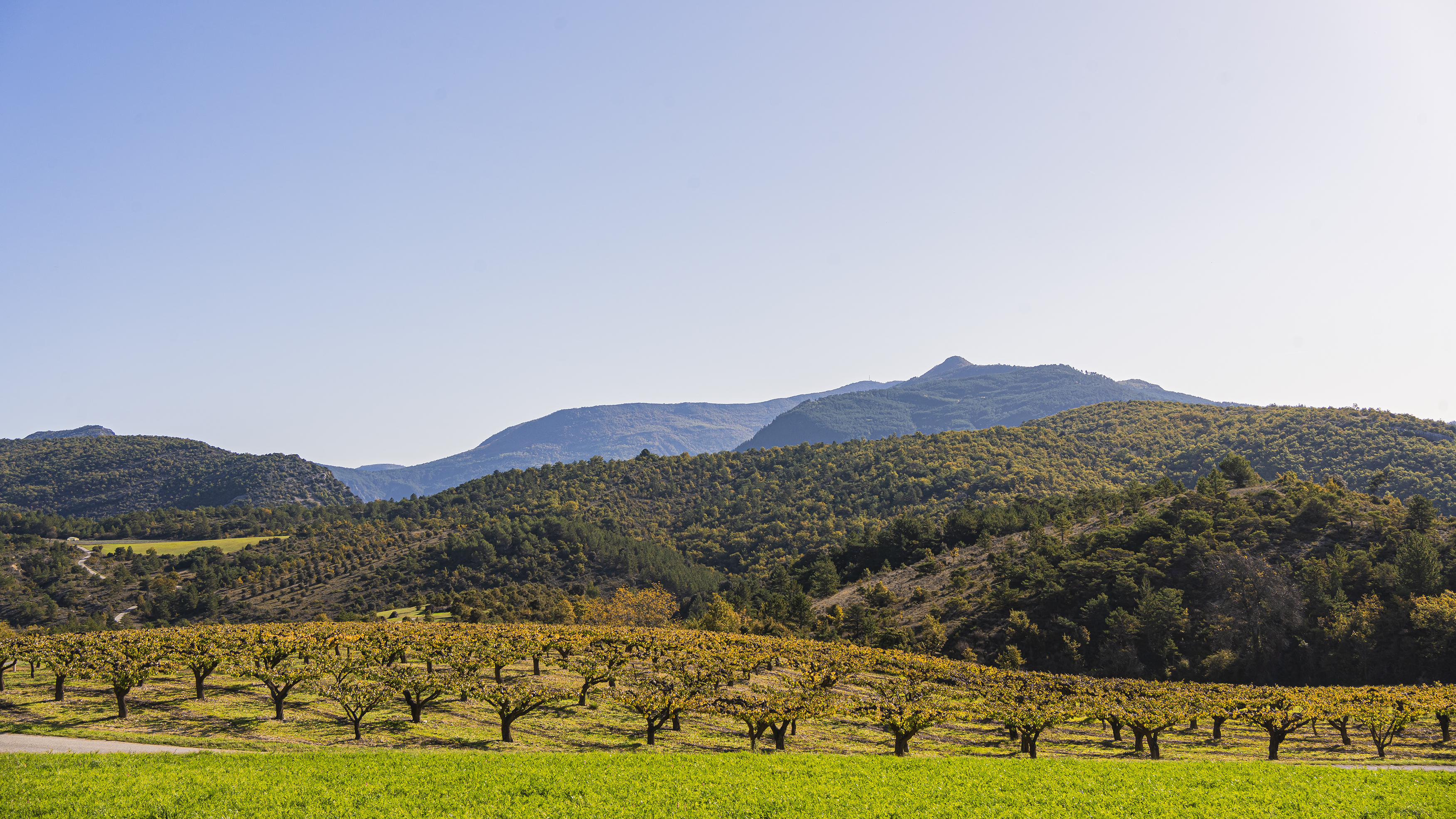
Departing from St Ferréol-Trente-Pas, set off on an ascent to the village of Eyroles, with views over the valley.
This tour begins with a gentle climb to the village of Eyroles on a quiet road. You'll be able to take plenty of breaks to recover your strength while admiring the views over the valley. After the village of Eyroles, continue on an easy track over a small pass, then enjoy a long descent to the village of Condorcet. Return on the D70 towards Saint-Ferréol-Trente-Pas. Point 1: Village square (km 0 - 420m). Point 2: Cemetery (km 0.43 - 420m) right, follow Eyroles Point 3: Eyroles (km 3.01 - 570m) go down into the village on the right, follow the track to the right Point 4: Chemin de la garde (km 3.56 - 560m) follow VTTn°2 Point 5: Point haut circuit (km 4.52 - 630m) continue straight on Point 6: Le chemin d'Eyroles (km 5.20 - 565m) continue straight on Point 7: La garde (km 5.68 - 540m) follow VTTn°2 Point 8: La Passerelle (km 8.63 - 540m) right, follow VTTn°2 Point 9: Condorcet (km 9.53 - 359m) straight ahead on D70
-
Address
Place du village
26110 Saint-Ferréol-Trente-Pas - Phone 04 75 26 10 35
- Email Nous écrire
Further information
- French
Our tips
Details about route marking : Balisage VTT (Jaune) - Boucle N°2 bleu
To see the GPX, download the application
L’agence d’Attractivité de la Drôme cannot be held responsible for any problems encountered along the route.
Any problems encountered can be outlined here:
Author: Conseil Départemental de la Drôme - Apidae Tourisme
Updated on 13/10/2026
Through Conseil départemental de la Drôme

