
La Viale
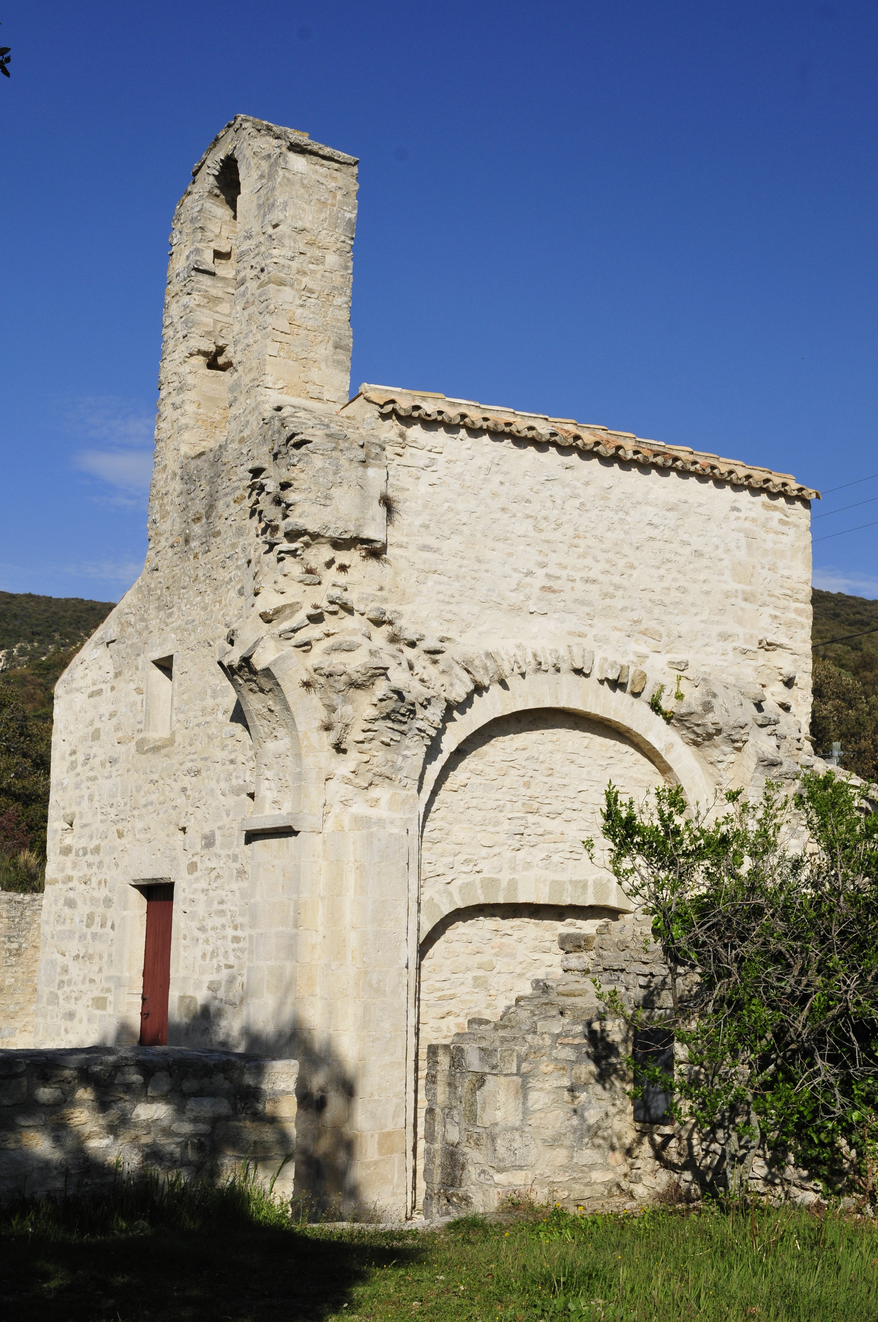
From valley to valley, under the eye of the feudal château de la Viale, the trail takes us to the Mediterranean foothills of the Lance mountain, above the Valréas plain.
- Address 26770 Montbrison-sur-Lez
Further information
- French
Our tips
Details about route marking : Balisage PR (Jaune) -
To see the GPX, download the application
L’agence d’Attractivité de la Drôme cannot be held responsible for any problems encountered along the route.
Any problems encountered can be outlined here:
Author: Conseil Départemental de la Drôme - Apidae Tourisme
Updated on 14/10/2026
Through Conseil départemental de la Drôme
