
La montagne des Ventes
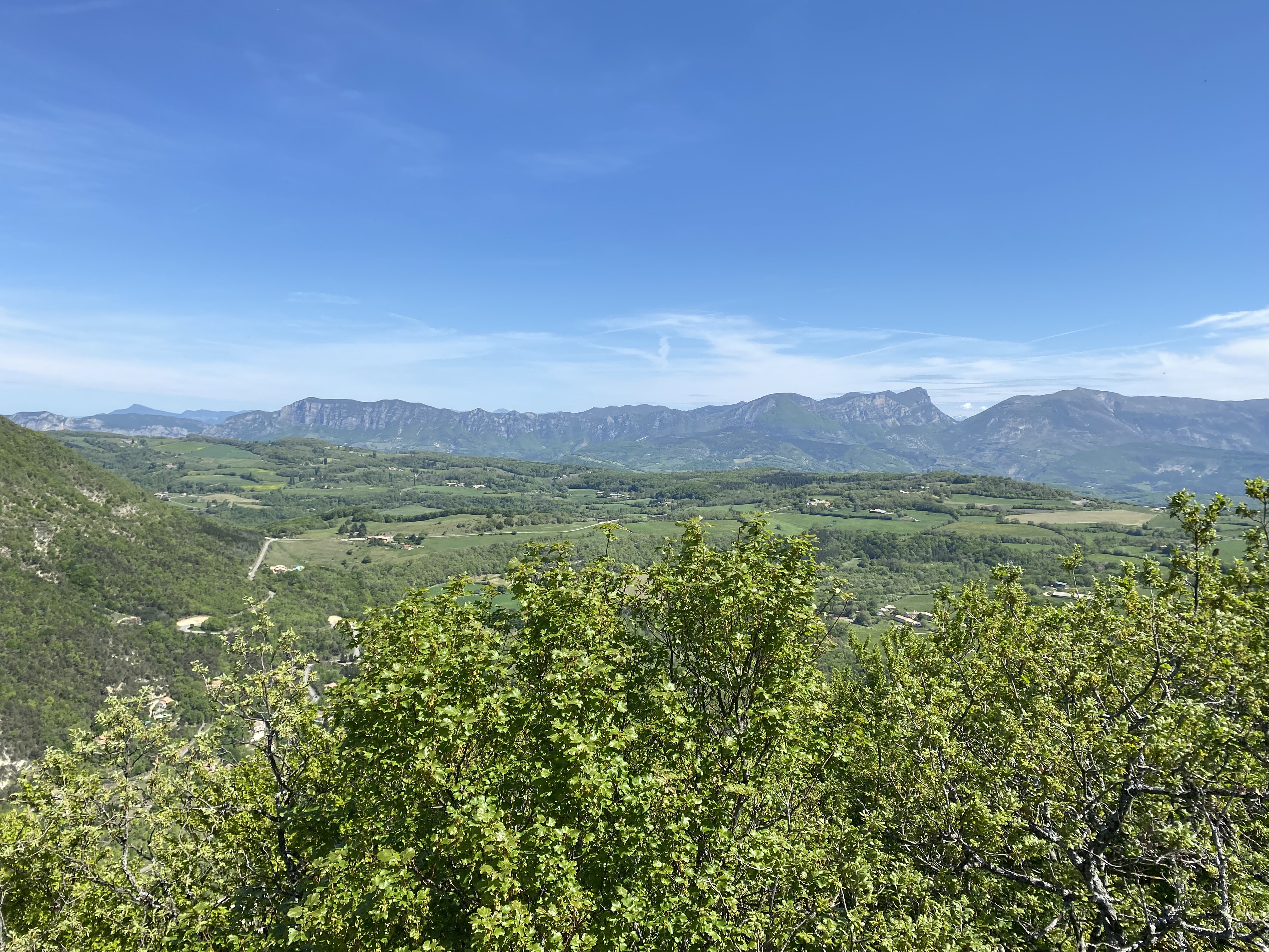
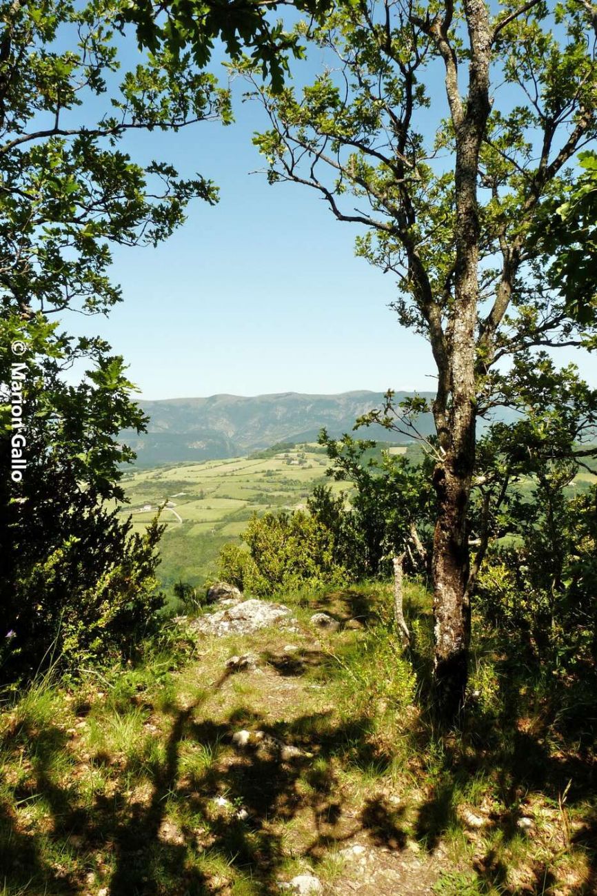
A sporty itinerary with steep paths both up and down. But the ridge route allows you to recuperate and enjoy the scenery. It can also be done in the opposite direction.
From Place des Tilleuls, take the GR9 to Grand Serre (430 m). Continue straight on, taking the tarmac road to the ACCA parking lot. At the Malemort crossroads (550 m) leave the GR9, climb left (stony track) to Col de Pousterle (851 m), follow the track for 700 m. At the pass, turn left to follow the ridge of the Montagne des Ventes. Descend to the left towards the Bourdeaux road. At the Gournier bridge (440 m), take the track on the left towards the ferme des Ventes (pass under the ruins). At 400 m, turn right onto the path. Descend and pass a tepee. Continue to the road and turn left before the bridge. Descend to the Poule ravine, skirt it and rejoin the GR9. Beautiful panoramic view of the 3 Becs mountain and the Saoû forest.
-
Address
Départ Place des Tilleuls
26220 Dieulefit - Phone 04 75 46 42 49
- Email Nous écrire
- Website See the website
Details about route marking : Balisage PR (Jaune) - Balisage GR® (Blanc et rouge) -
L’agence d’Attractivité de la Drôme cannot be held responsible for any problems encountered along the route.
Any problems encountered can be outlined here:
Author: Conseil Départemental de la Drôme - Apidae Tourisme
Updated on 14/10/2026
Through Conseil départemental de la Drôme
