
La Grande Javonière
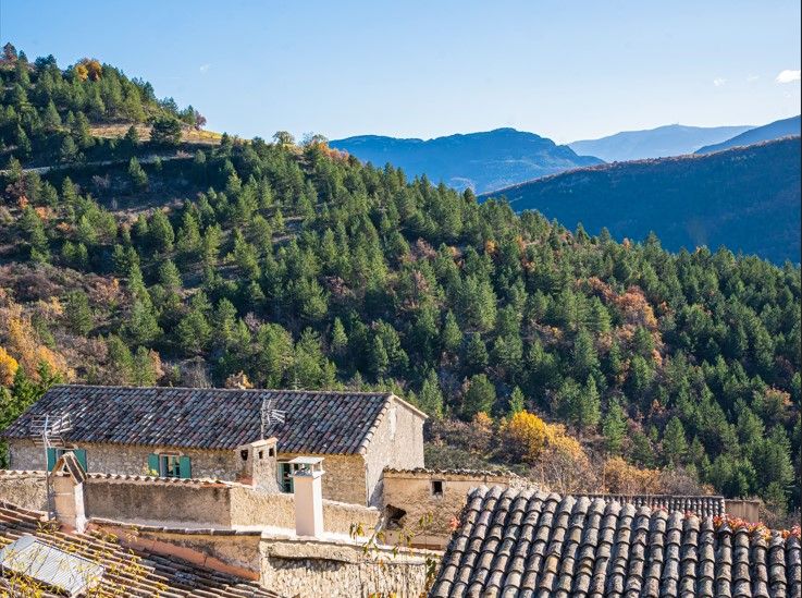
This balcony tour takes in the typical hilltop villages of Le Poët-Sigillat and Arpavon. They are set in a remarkable landscape dominated by Mont Ventoux in the background.
New cemetery parking lot (towards Rémuzat) 1. Head towards the village of Poët-Sigillat. Go past the town hall to a square. Turn right towards Chemin du Terron, follow the carriage road. 2. Just after the ravine, at the La Combe d'Arnaud sign (alt. 760 m), turn right, and cross a small pass. 3. 5 mins later, at Les Drayes (alt. 770 m), leave the main path. Turn left down a stony path. Continue along a hillside path. You reach a ridge. Leave the ridge immediately to the right and cross a dry stream. Continue along the right bank. You come to a path, follow it for 5 minutes and look out for a small embankment on the right, cross it. 4. A path joins a small pass: Grande Javonnière (alt. 650 m) on the Charrière- vieille ridge. Descend towards Arpavon (15 mins). 5. A farm track emerges 50 m from the cemetery. Turn left. Go around a hill (panoramic view over the valley). After 30 mins, cross several ravines into a combe. Follow a building to the right. Cross a stream and rise in 15 minutes to the Col de Goudon (alt. 600 m). 6. From here, take a left-hand path up to Combe d'Arnaud. Return to the village along the same path as before.
- Address 26110 Le Poët-Sigillat
- Phone 04 75 26 10 35
- Email Nous écrire
- French
Details about route marking : Balisage PR (Jaune) -
L’agence d’Attractivité de la Drôme cannot be held responsible for any problems encountered along the route.
Any problems encountered can be outlined here:
Author: Conseil Départemental de la Drôme - Apidae Tourisme
Updated on 14/10/2026
Through Conseil départemental de la Drôme
