
La Croix de Justin
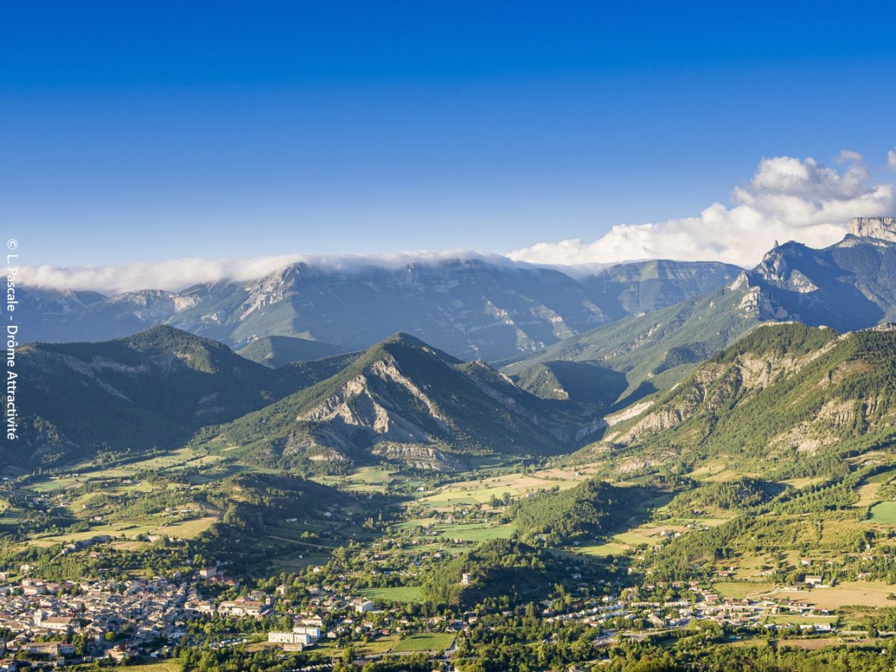
This is the spot to look the Vercors in the eye and have Die at your feet. Starting from the turquoise waters of the Drôme, which winds its way through the Clairette de Die vineyards, the path leads to the imposing cross and its table d'orien...
Due to a fire—Warning: limited access. Section closed in the Justin, L'Aup, and Solaure mountain ranges—prefectural order dated July 17, 2026
-
Address
Cimetière
Chemin de Chandillon
26150 Die - Phone 04 75 22 03 03
- Email Nous écrire
- Website See the website
- Free car park
- Car park
- Pets welcome
- French
Details about route marking : Balisage GR® (Blanc et rouge) - Balisage PNR Vercors (Vert et jaune) -
L’agence d’Attractivité de la Drôme cannot be held responsible for any problems encountered along the route.
Any problems encountered can be outlined here:
Author: Conseil Départemental de la Drôme - Apidae Tourisme
Updated on 14/10/2026
Through Conseil départemental de la Drôme
