
La crête Plombard
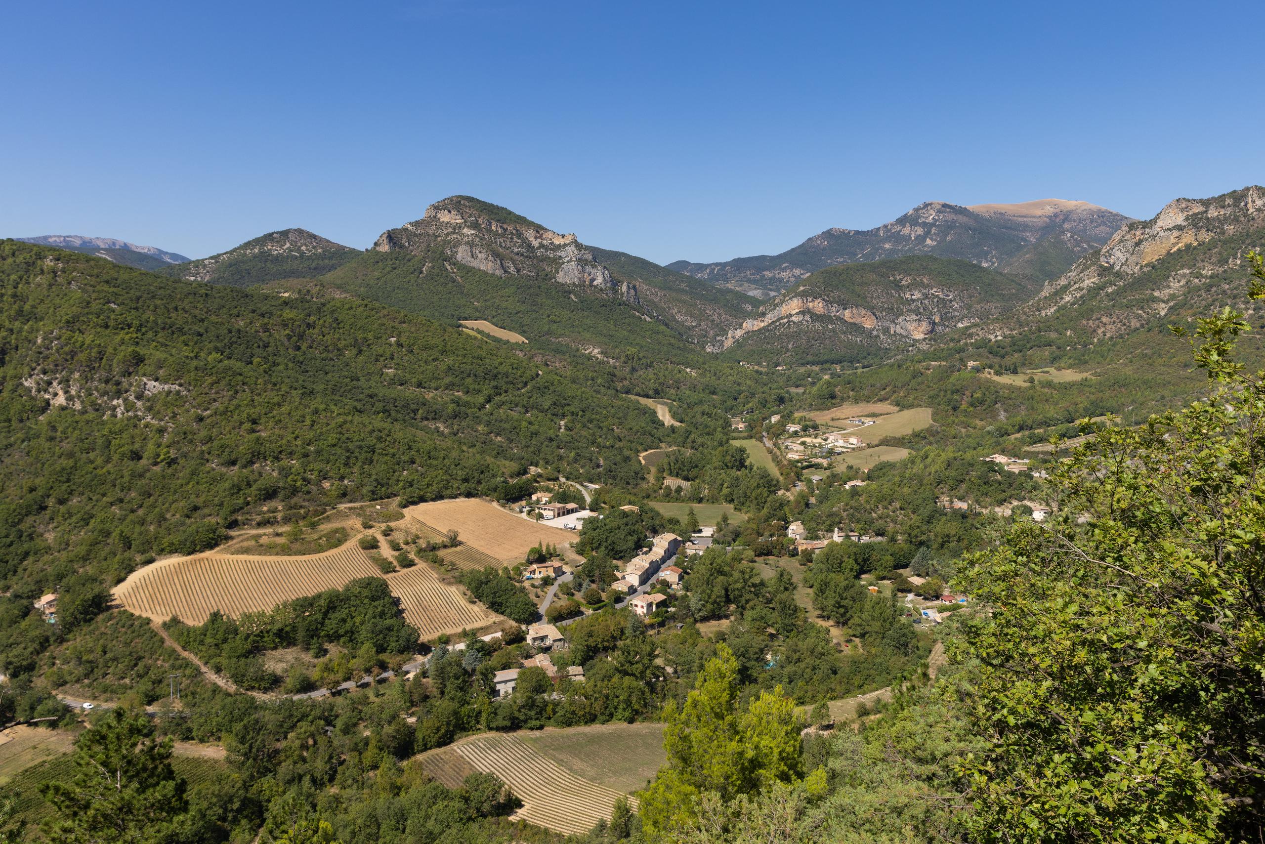
This circuit, perfect for physical and technical mountain bikers, offers a magnificent downhill single, which must be earned after a few portages.
An unmissable route for sports enthusiasts, a single of almost 4km, a benchmark in the region. A short portage section before arriving on the famous ridge. Crossing it will make you forget your efforts. At the Sigala farm, you can follow up with circuit no. 4 (35km and 1500m D+). Point 1: Village square (km 0). Point 2: The cemetery (km 0.43 - 420m) Straight on for mountain bike n°5. Point 3: La Chapelle (km 2.5 - 465m) Left, follow VTT n°5. Point 4: Col de Maruen (km 6.12 - 780m) Follow Villeperdrix, VTT n°5 to the right (forward direction). Point 5: Les Barnauds (km 8.83 - 500m) Follow MTB trail no. 5. Point 6: Haut cimetière (km 9.6 - 470m) Climb up to the village. Point 7: Villeperdrix (km 9.72 - 480m) Follow signs for Col de Chaudebonne. Point 8: Col de Chaudebonne (km 13.23 - 763m) Direction Col Maruen. Climbing path, even the most athletic will have to push! When you reach the crest, keep left. Point 9: Point haut (km 14.53 - 945m) View of the Eygues gorges. Point 10: Col Maruen (km 16.67 - 780m) Follow VTT n°5 straight on (return direction). Point 11: Ferme de Sigala (km 19 - 557m) To the right, mountain bikes no. 5 and no. 3; to the left, mountain bike no. 4 (recommended for the more athletic). Point 12: Col de Fabre (km 20.52 - 560m) Go down the track on the left. Point 13: Le monestier (km 22.07 - 455m) Follow the signs to the finish.
-
Address
Place du village
26110 Saint-Ferréol-Trente-Pas - Phone 04 75 26 10 35
- Email Nous écrire
Further information
- French
Our tips
Details about route marking : Balisage VTT (Jaune) - Boucle N°5 noir
To see the GPX, download the application
L’agence d’Attractivité de la Drôme cannot be held responsible for any problems encountered along the route.
Any problems encountered can be outlined here:
Author: Conseil Départemental de la Drôme - Apidae Tourisme
Updated on 13/10/2026
Through Conseil départemental de la Drôme

