GTV à pied - Saint-Laurent-en-Royans - Pont-en-Royans
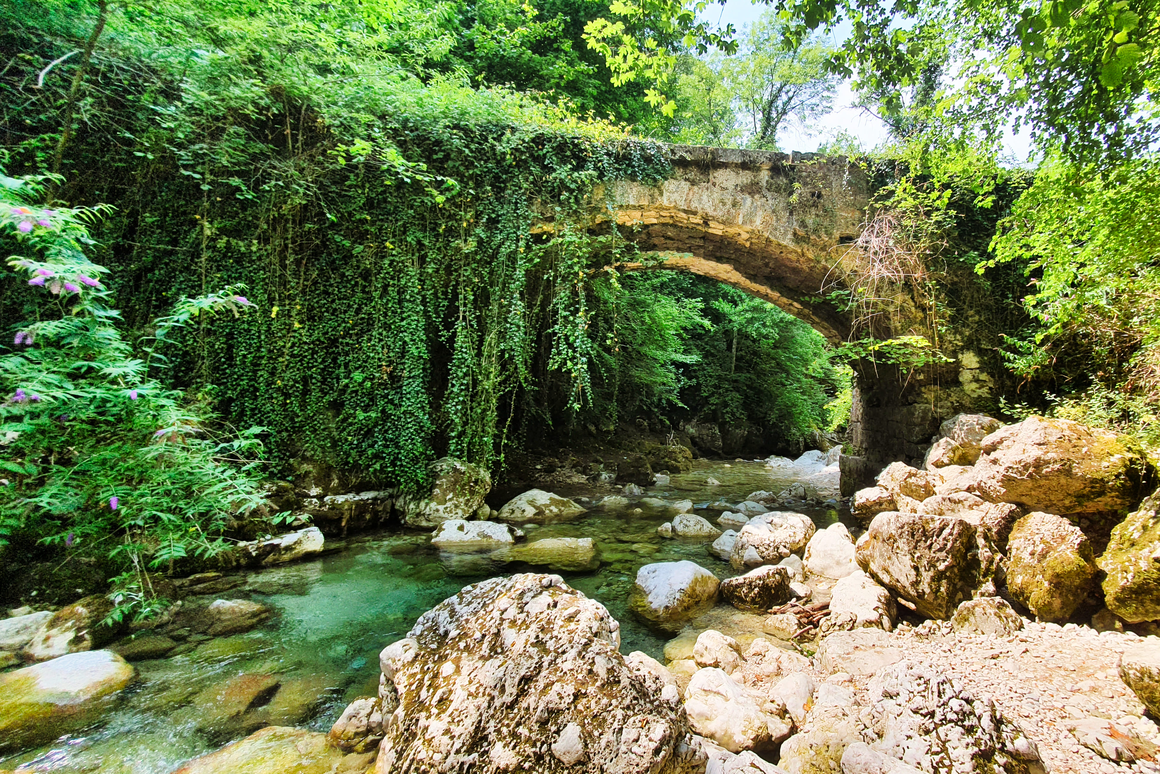
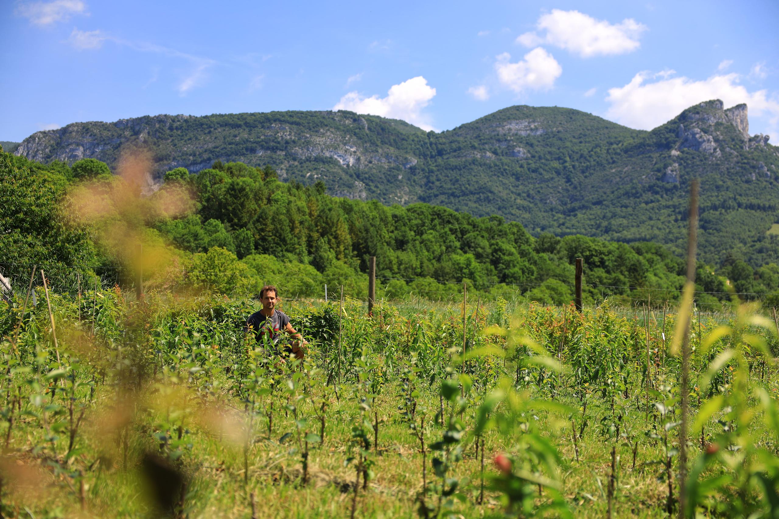
A gentle stroll past the sumptuous Cascade Blanche. In summer, walnut orchards, cornfields and sunflowers grace the landscape.
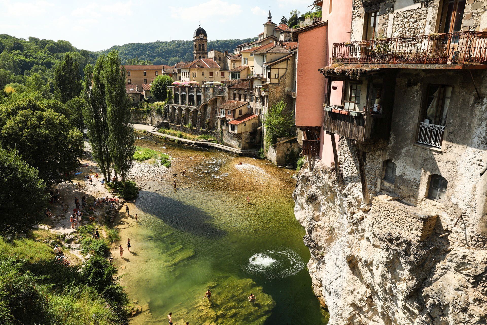
From the Saint Laurent en Royans town hall parking lot, follow the signs for Les Rayes. At the crossroads, turn left towards Les Buis and then La Croix, then left along the main road for 50 metres through the center of Saint Eulalie village, as far as the Torpédo crossroads. Cross the road to La Côte. From La Côte, you can make a detour to Cascade Blanche, then turn right. To return to the original route, retrace your steps at La Côte. Continue on to the Pylone (crossing the main road) and go straight on to the La Voie Du Tram crossroads. Turn right to reach the picnic area on the banks of the Bourne. You're now in Pont en Royans, the emblematic Royans-Vercors village with its hanging houses and Water Museum.
- Address 26190 Saint-Laurent-en-Royans
- Phone 04 75 48 22 54
- Email Nous écrire
- Website See the website
Further information
- French
Our tips
Details about route marking : Balisage vert et jaune des grandes Traversées du Vercors. Balisage rouge et blanc GR9
To see the GPX, download the application
L’agence d’Attractivité de la Drôme cannot be held responsible for any problems encountered along the route.
Any problems encountered can be outlined here:
Author: Conseil Départemental de la Drôme - Apidae Tourisme
Updated on 13/10/2026
Through Conseil départemental de la Drôme