
GRP des Baronnies provençales

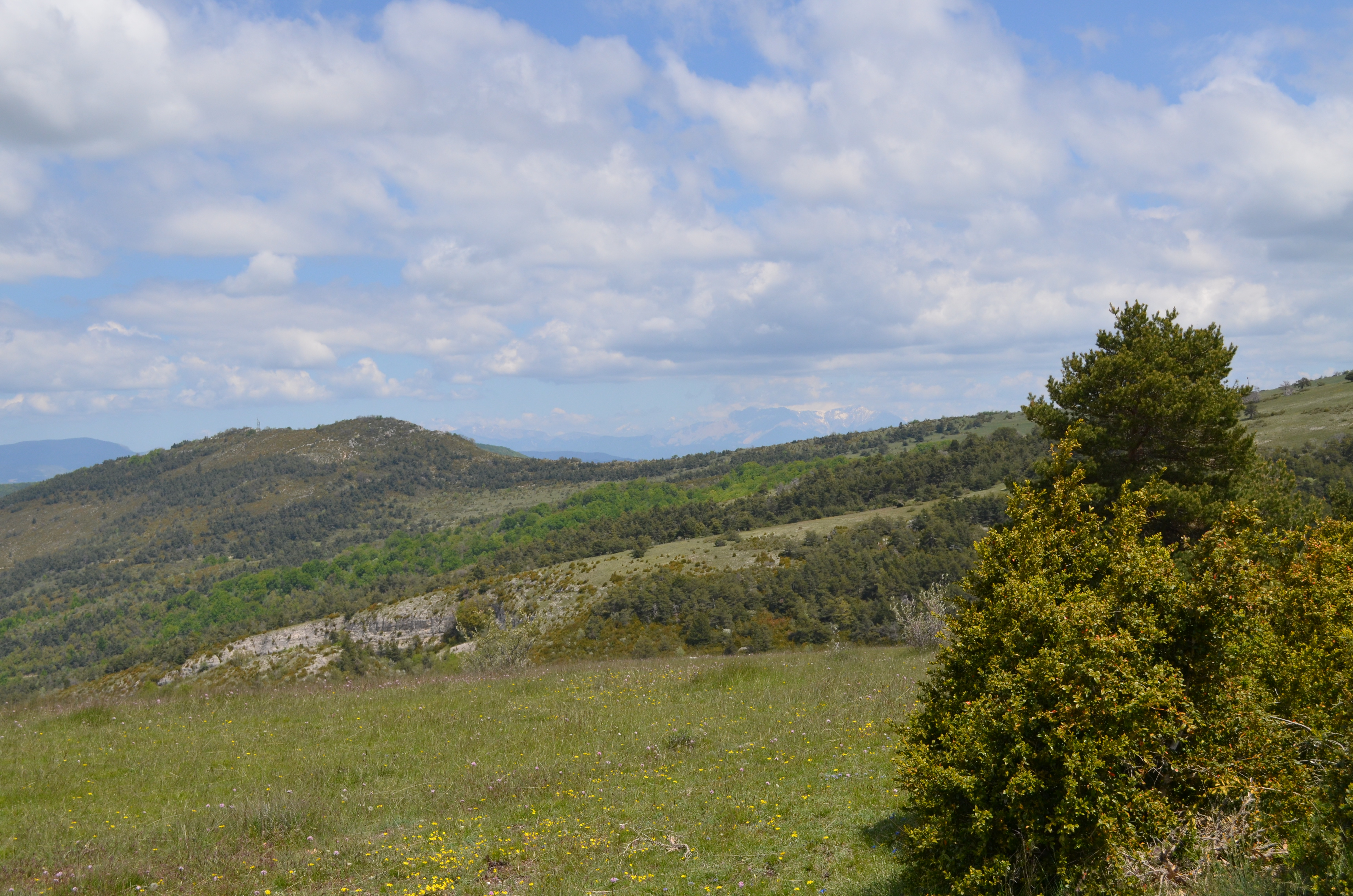
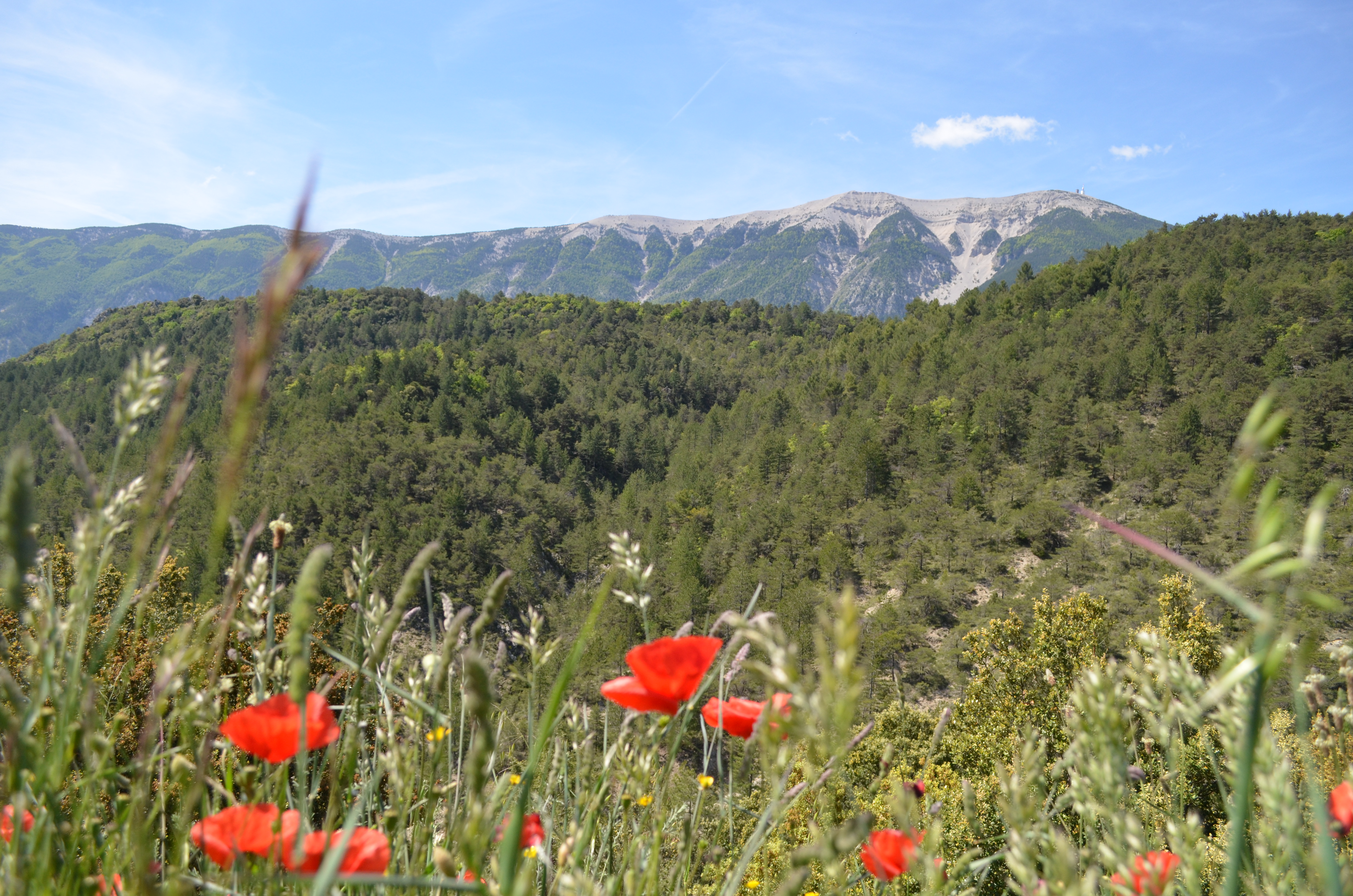
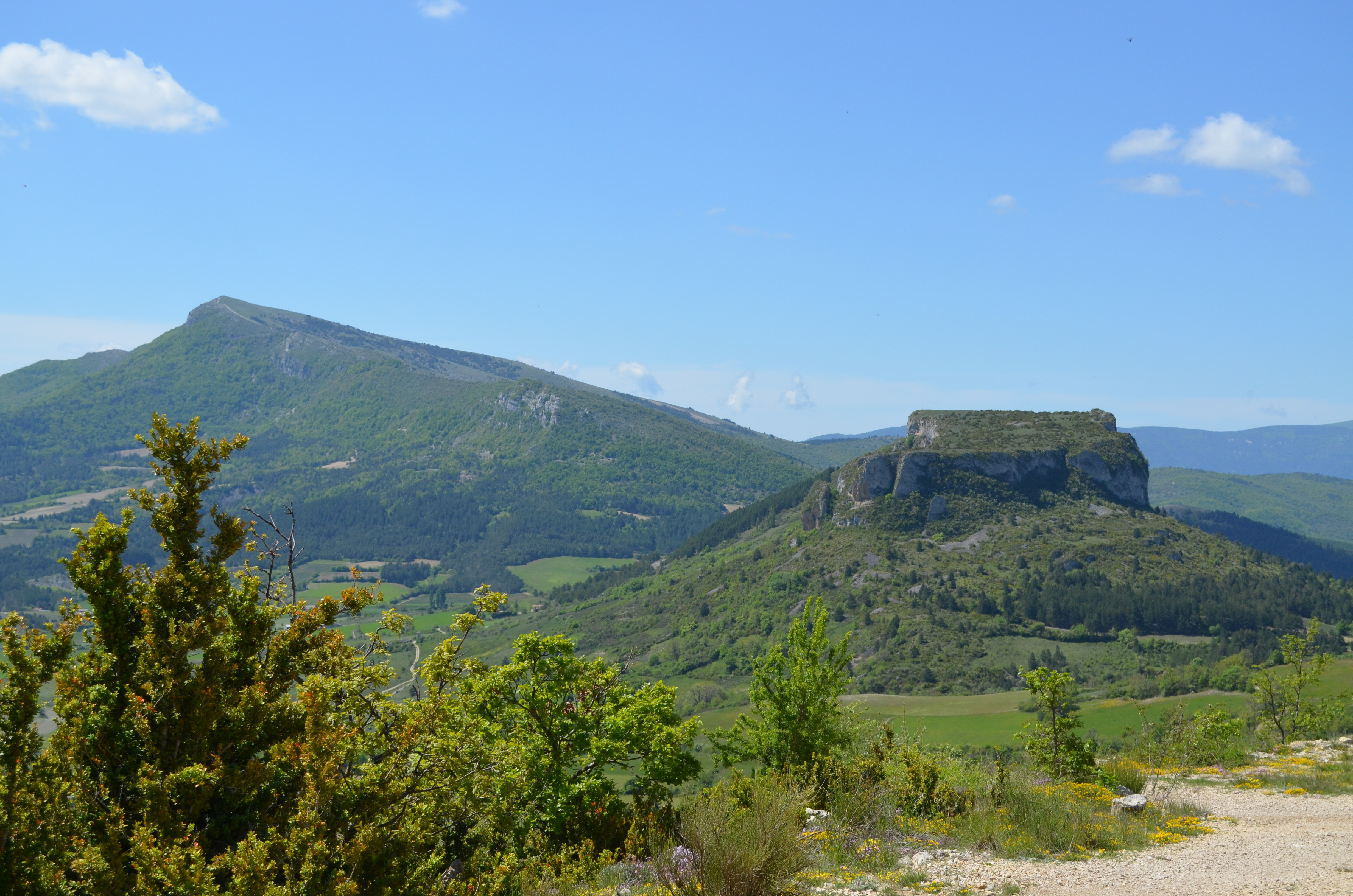
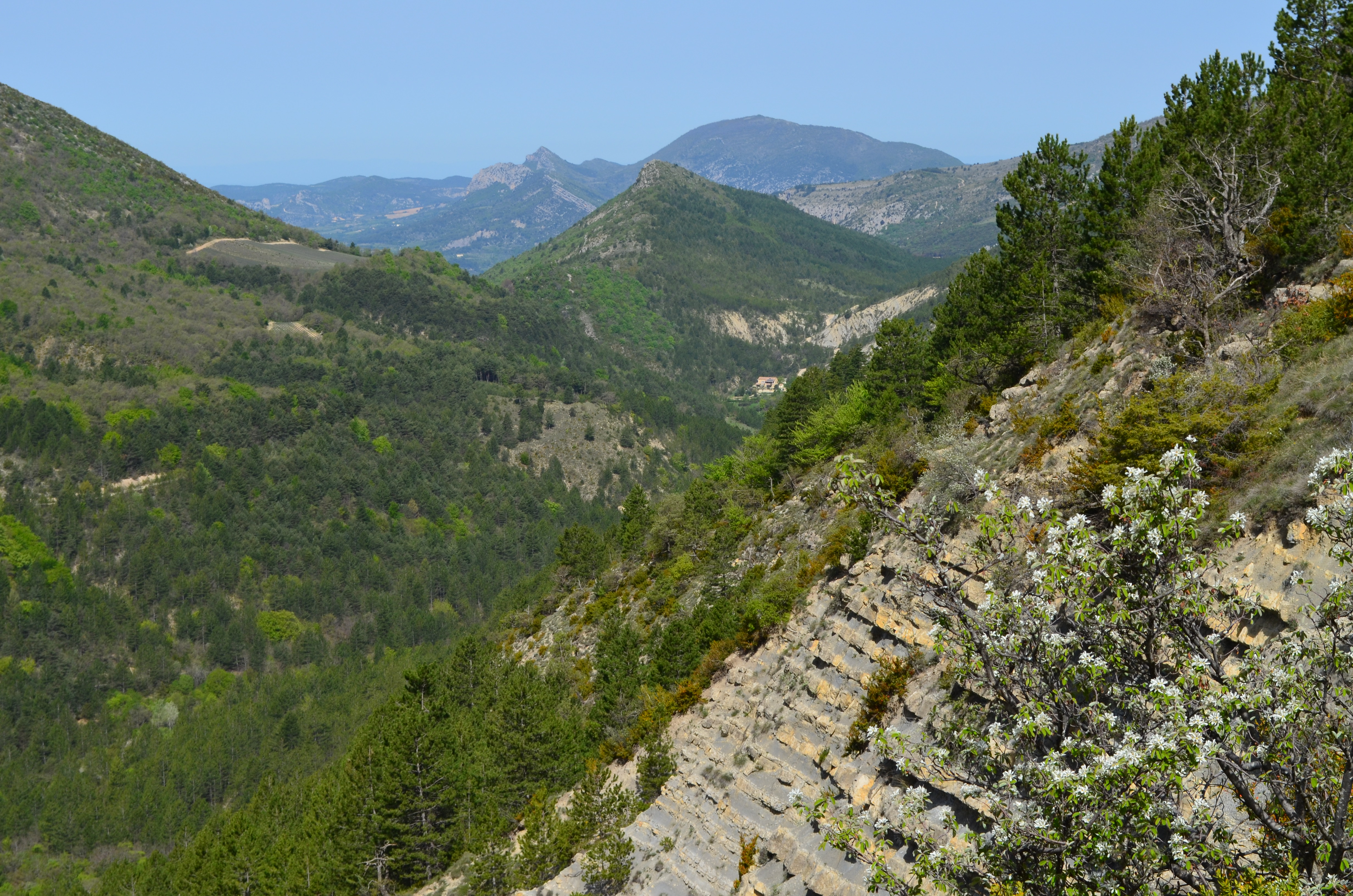
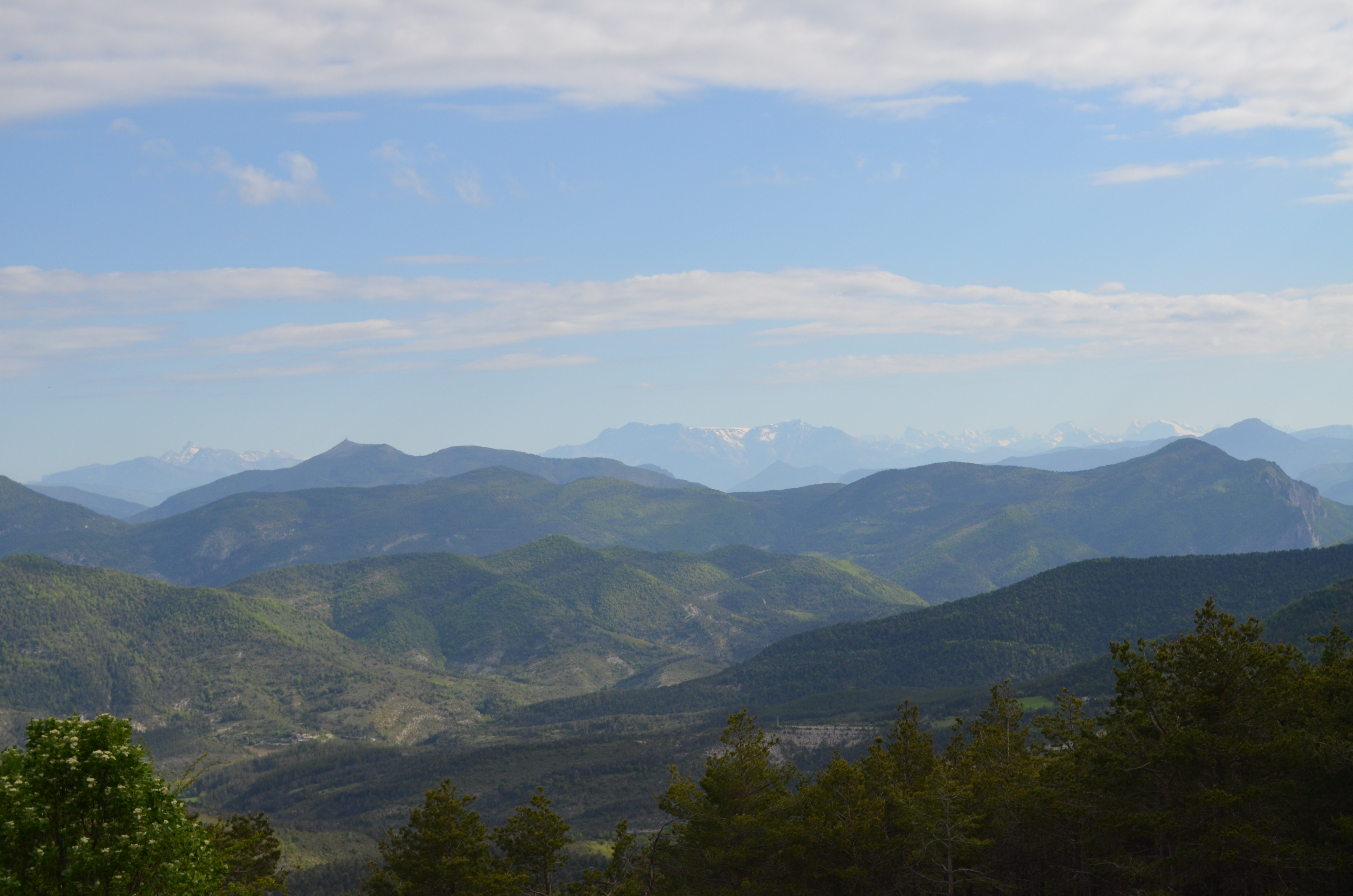
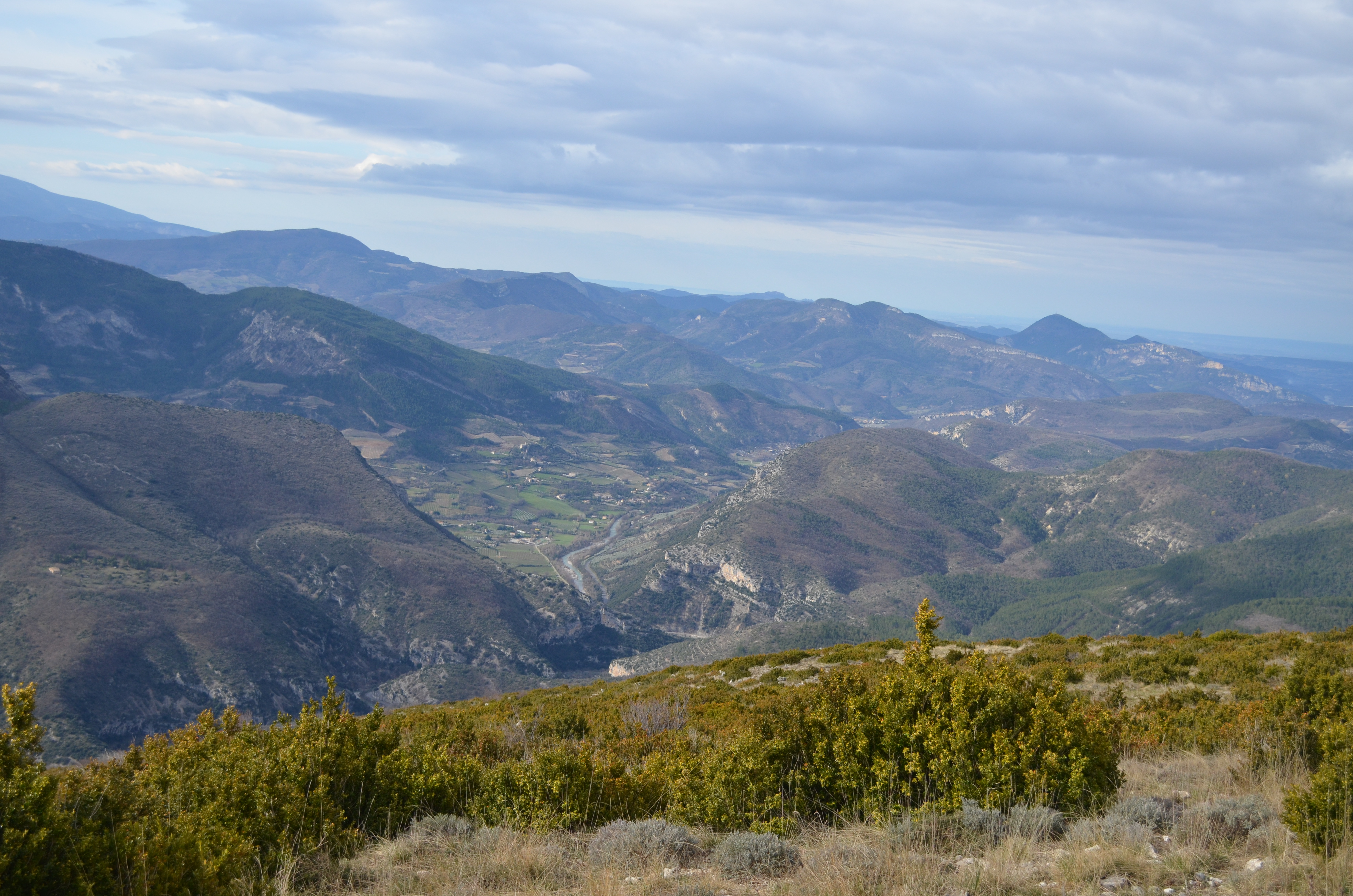
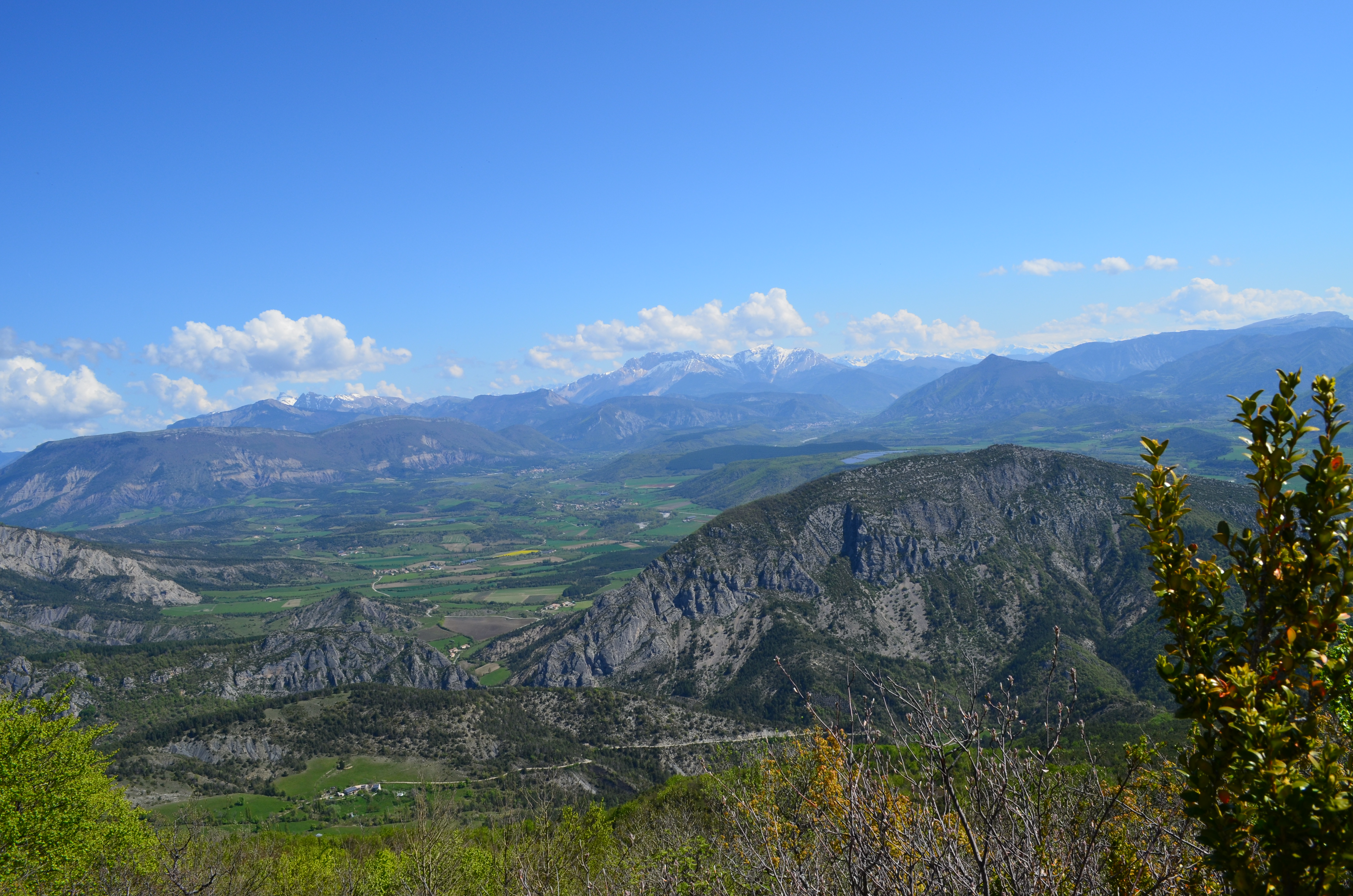
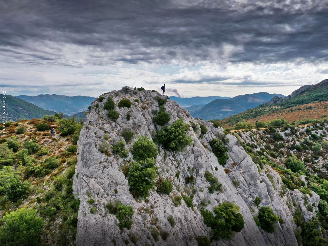
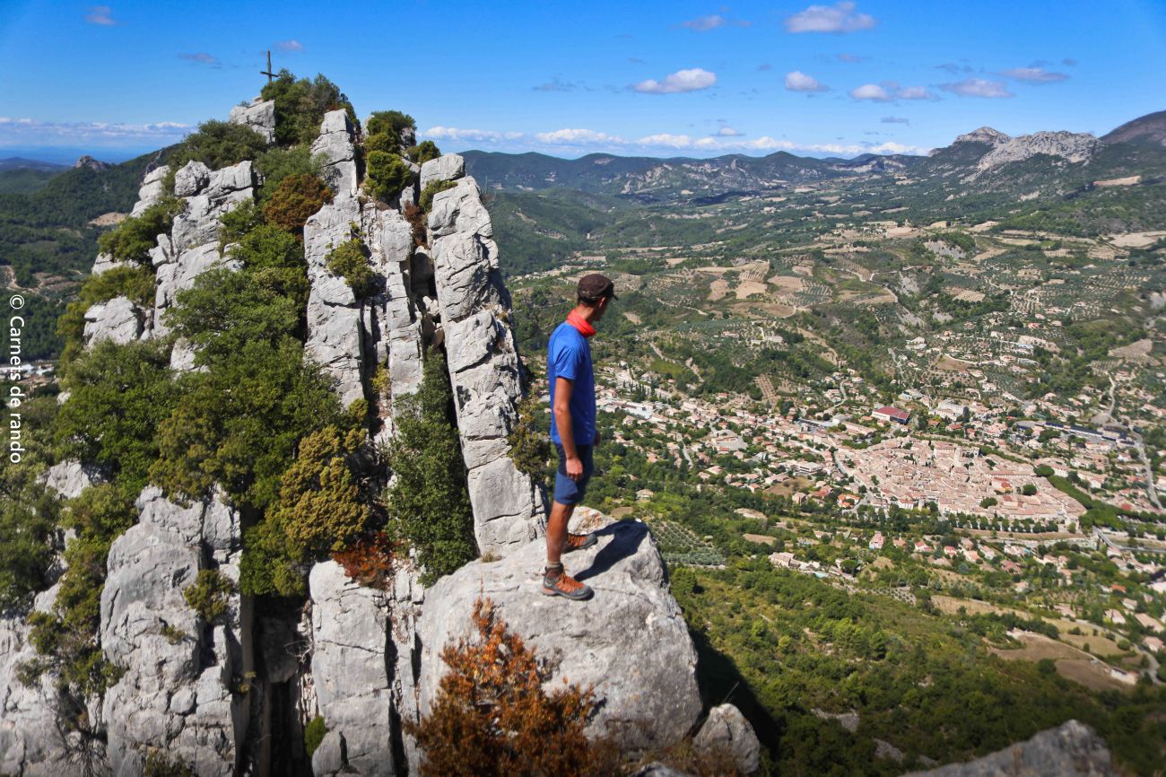
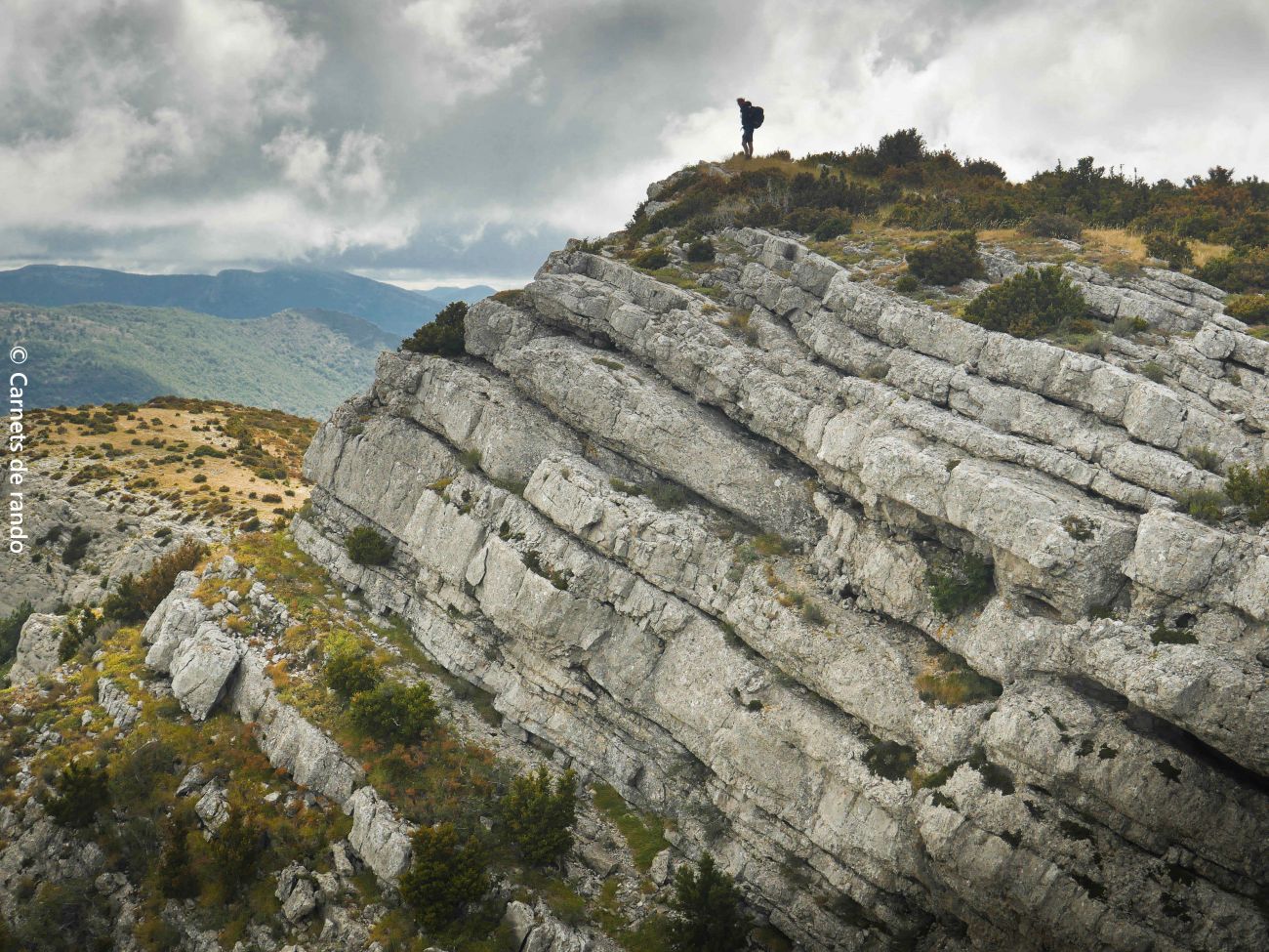
The GRP des Baronnies allows you to discover the whole of the Baronnies provençale massif. Depending on your preferences, it offers 8 to 15 days of riding between Drôme and Hautes Alpes, and can even be used as the basis for a 3-day weekend ride!
This GRP is a real journey through the Baronnies. From the ridges of Chabre to the bluish marls of the Rosanais, from hilltop villages to the foothills of the Ventoux... each section has its own atmosphere. You can really feel the link between landscapes, livestock farming and heritage. It's demanding, but rich in discoveries and a change of scenery! STAGE 1: Buis-les-Baronnies / Plaisians 11.9km / 855m d+ / 532m d- On the ridges of Rocher Saint-Julien and La Nible, the landscape opens out onto the Ouvèze valley. Then, at the turn of a bend, Mont Ventoux reveals itself, so close you could touch it... From Buis-les-Baronnies, famous for its lime trees, we set off to discover the impressive cliffs of Rocher Saint-Julien and Rocher de Sabouillon. The route offers superb panoramic views over the Ouvèze valley, with Buis-les-Baronnies below. The route passes through wooded forests and along ridges to reach Plaisians, close to the majestic Mont Ventoux. STAGE 2: Plaisians / Vergol 18.7km / 765m d+ / 684m d- Discover the southern Baronnies provençales and its Mediterranean landscapes, under the gaze of the mythical Mont Ventoux. This second stage traverses the southern Baronnies, between valleys and hilltop villages, in a refreshingly mineral atmosphere where marl and singular rock meet in a remarkable natural setting at the foot of Mont Ventoux. The remote villages of Plaisians and Brantes, with their feudal castle ruins, add undeniable charm to this crossing. STAGE 3: Vergol / Saint-Auban-sur-l'Ouvèze 14.8km / 677m d+ / 797m d- From the marl soils of Vergol and the Col de la Bohémienne to lavender fields and perched villages, discover the southern Baronnies! Explore the southern Baronnies! This stage passes through forest and marl to reach the hilltop village of Le Poët-en-Percip and its church. Climb the Tunes mountain, which offers panoramic views over the upper Ouvèze valley, the Charuis gorges to the north, the Aulan gorges and the Toulourenc valley to the south, just in front of Mont Ventoux. The adventure ends with the discovery of Saint-Auban-sur-l'Ouvèze, with its strong religious past, through lavender fields. STAGE 4: Saint-Auban-sur-l'Ouvèze / Izon-la-Bruisse 18.2km / 967m d+ / 571m d- A stage with a thousand panoramic views, between the upper Ouvèze and Riançon valleys. From Saint-Auban-sur-l'Ouvèze, head east through marl and forests of varied species. Gradually, the landscape opens up to a breathtaking panorama: to the east, Montagne de Chamouse; to the west, Montagne de Croc and Bouvrège. To the north, the Clavière mountain range, and to the south, the Mévouillon valley and its fort. From here, a climb over flower-filled ridges takes you to Izon-la-Bruisse, surrounded by rocky outcrops. A strikingly wild setting! STAGE 5: Izon-la-Bruisse / Orpierre 17.2km / 555m d+ / 914m d- From the forest to the crests of the Montagne de Chabre, a grandiose ascent that ends with the discovery of Orpierre and its Protestant history. A real cross between wooded forests and the crests of the Montagne de Chabre. From the Col Saint-Jean and its oratory, the climb requires a great deal of effort, but the reward is worth it: a grandiose panorama. At your feet, the Céans and Méouge valleys stretch out peacefully, while in the distance, the snow-capped peaks of the Écrins massif loom large. A breathtaking natural spectacle before our eyes, before we reach Orpierre, the balcony of Protestantism! STAGE 6: Orpierre / Trescléoux 12.7km / 773m d+ / 782m d- Discover the historic village of Orpierre and contemplate the Blaisance and Céans valleys as you gain altitude! This stage passes through the historic village of Orpierre to reach the singular summit of Le Suillet and its ridges, offering panoramic views of the surrounding valleys and mountains. Between marls, cliffs and forests, a timeless, multi-faceted hike! STAGE 7: Trescléoux / La Montagne 26.5km / 1827m d+ / 1533m d- Between imposing ridges and exceptional viewpoints, a stage worthy of every effort! An escapade in the heart of the Hautes-Alpes, discovering breathtaking scenery. The ascent of Rocher de Beaumont is demanding but rewarding, revealing a breathtaking panorama: on one side, the Buëch valley, on the other, the Baronnies Provençales. As you cross the ridges, the Pre-Alps, Dévoluy, Écrins and Mont Ventoux stretch out into the distance. The stage ends at the Col de Saumane, with a vast view of Serres below, before reaching the hamlet of La Montagne, nestled in unspoilt countryside. From Col de Saumane, you can reach Serres (4 km). STAGE 8: La Montagne / Praboyer 11.9km / 528m d+ / 522m d- From the beech forests to the Duffre crests, between streams, panoramas and soothing forest. Embark on a refreshing hike through verdant forests before discovering the Col d'Arron, facing the Duffre, the highest peak in the Baronnies. The route then continues through dense forests and streams, before descending gently on a path offering unobstructed views. STAGE 9: Praboyer / Rosans 17.3km / 674m d+ / 952m d- A beautiful excursion on both sides of the peaceful Oule valley, with plenty to see! Discover the perched village of Montmorin before climbing the Col des Pins, offering breathtaking views over the Oule valley and the remarkable Risou mountain in the center. The descent begins gently towards Rosans via the Col de l'Archimbaou. STAGE 10: Rosans / Rémuzat 18.3km / 689m d+ / 941m d- A cultural and heritage journey through the varied landscapes of the Rosanais and Oule valleys. A true cultural and heritage journey, between pine forests, majestic cliffs and vast expanses of pasture. The itinerary begins with the discovery of Rosans and its historic center, before venturing through the marls to reach the Benedictine Abbey of Rosans and the forgotten village of Verclause. The ascent continues to the Col de Staton, an emblematic grazing site, with an exceptional panorama over the Rosanais valley. The route ends at Rémuzat, where the majestic Rocher du Caire rises from the heights. STAGE 11: Rémuzat / Villeperdrix 17.7km / 1,182m d+ / 1,160m d- Between ridges, passes and the Angèle mountains, admire extraordinary panoramas over the whole of the Baronnies provençales region. Discover the village of Rémuzat, dominated by the imposing Rocher du Caire, home to all the region's species of vulture. Follow the steep paths to the charming hilltop village of Villeperdrix. Along the way, marvel at the breathtaking scenery between the Buëgue and Angèle mountains. Up here, a 360-degree panorama reveals the beauty of the mountains and valleys of the Provençal Baronnies. STAGE 12: Villeperdrix / Sainte-Jalle 23.3km / 966m d+ / 1,033m d- From one valley to the next, enjoy panoramic views and stroll through charming hilltop villages. This stage really immerses us in the landscapes of the Provençal Baronnies, the perfect opportunity to pass through typical hilltop villages, follow mountainside paths offering panoramic views, and find ourselves on the banks of streams and rivers along the way. A wonderful experience between the Eygues and Ennuye valleys! STAGE 13: Sainte-Jalle / Buis-les-Baronnies 19.3km / 653m d+ / 689m d- Between history and panoramic views, Rochebrune and its maquis passes offer splendid views of the Ennuyé valley and Mont-Ventoux. This stage takes us on a journey through history, heritage and breathtaking views. It passes through Rochebrune, proudly perched above the Ennuyé valley. The various passes reflect the history of the region's maquisards, and offer panoramic views of the Beauvoisin valley and Mont-Ventoux. VARIANTE EN DROME: 8 days / 141.5km / +6561m -6561m At Saint-Auban-sur-l'Ouvèze, leave the GRP and continue north on the GR91 towards Rosans. 18.9km / 837m d+ / 784m d- An escape route between the Drôme and Hautes-Alpes regions, revealing a wealth of landscapes, from forests and meadows to breathtaking views of the relief of the valleys it crosses. After discovering the authentic villages of Saint-Auban-sur-l'Ouvèze and Rosans, this stage offers a wide variety of panoramic views, notably of the upper Ouvèze valley and the characteristic green summit of Montagne de la Vanige. As you progress northwards, the landscape changes, giving way to vast meadows in the Rosanais valley. An ideal opportunity to learn more about the local flora of the Baronnies! Details of the stages and practical information are available in the TopoGuides "Le Parc naturel régional des Baronnies Provençales à pied" on sale at the Tourist Office. Mileage and topographical data may vary according to the tools and GPS used. Text and photos: Pauline Amberg, intern at the Parc naturel régional des Baronnies provençales.
-
Address
Place du Quinconce
26170 Buis-les-Baronnies - Phone 04 75 28 04 59
- Email Nous écrire
- Website See the website
- Car park
- French
Details about route marking : Balisage GR® de Pays (Jaune et rouge) -
L’agence d’Attractivité de la Drôme cannot be held responsible for any problems encountered along the route.
Any problems encountered can be outlined here:
Author: Conseil Départemental de la Drôme - Apidae Tourisme
Updated on 13/10/2026
Through Conseil départemental de la Drôme
