
GR 91
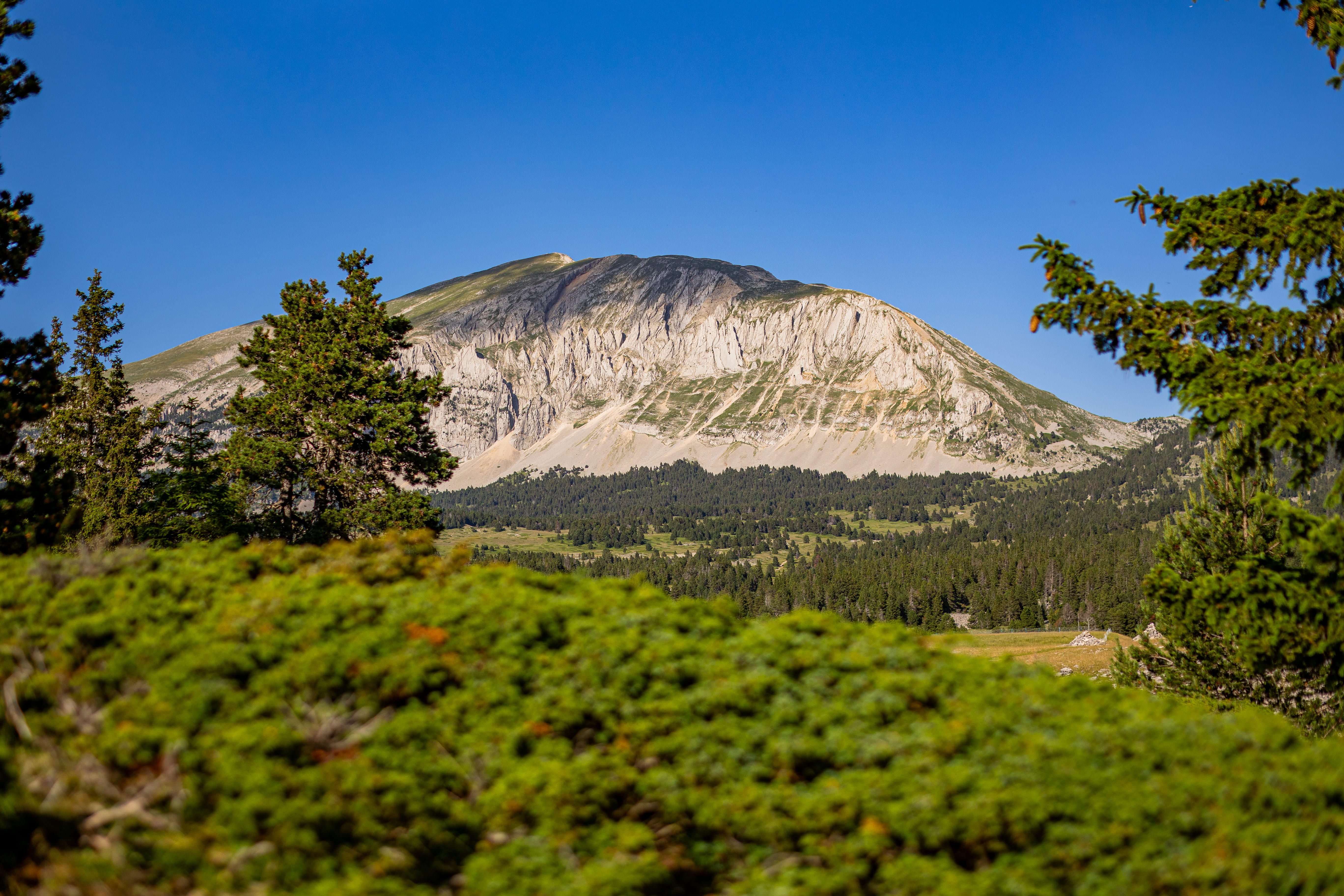
In the Vercors, the GR91 allows you to discover the deserted area of the Hauts Plateaux, unique in France, and to climb the Grand Veymont. The southern part runs through the Glandasse and then the Diois, already a Mediterranean region.
La grande traversée du Vercors is much more than a hiking route: it's an immersion in a unique massif, at once rugged and welcoming, secret and majestic. From Saint-Nizier-du-Moucherotte to the edge of the Baronnies, the GR® 91 winds its way through the plateaus, ridges, passes, alpine meadows and forests of this exceptional territory. Vertiginous cliffs, vast stretches of limestone, changing light: here, every step tells a story, every bend opens up a new panorama. At the heart of the Vercors Regional Nature Park, the high plateaux form a world apart, with no roads or villages, where nature reigns supreme. Between Mont Aiguille, the emblematic figure of the Dauphiné, and Grand Veymont, the roof of the Vercors, lies a land of silence, pastoralism and rare biodiversity. Chamois, griffon vultures, golden eagles: the fauna is discreet but very present, in a fragile balance that we learn to respect. You can't just walk through the Vercors: you have to experience it. And that's what it's like to stop off in the evening at a refuge or old alpine farmhouse, where you share a simple, warm meal. We talk about the day's events, the beauty of the scenery, the emotion of having crossed that rocky cape or crossed paths with a marmot. Halfway between the Equator and the North Pole, the GR® 91 crosses the 45th parallel, marking the meeting point between human geography and the main lines of the planet. And here, even borders have a history: fleur-de-lys engraved in the rock, ancient seigneury boundaries, the demarcation between Isère and Drôme. The Vercors has always fascinated visitors with its fortress-like terrain, impregnable cliffs, history of resistance and geographical contrasts. But it's on foot that it best reveals itself, with its slow pace, contemplation and humility in the face of immensity.
- Address 26420 Saint-Agnan-en-Vercors
- French
Details about route marking : Balisage GR® (Blanc et rouge) -
L’agence d’Attractivité de la Drôme cannot be held responsible for any problems encountered along the route.
Any problems encountered can be outlined here:
Author: Conseil Départemental de la Drôme - Apidae Tourisme
Updated on 13/10/2026
Through Conseil départemental de la Drôme
