
GR 9
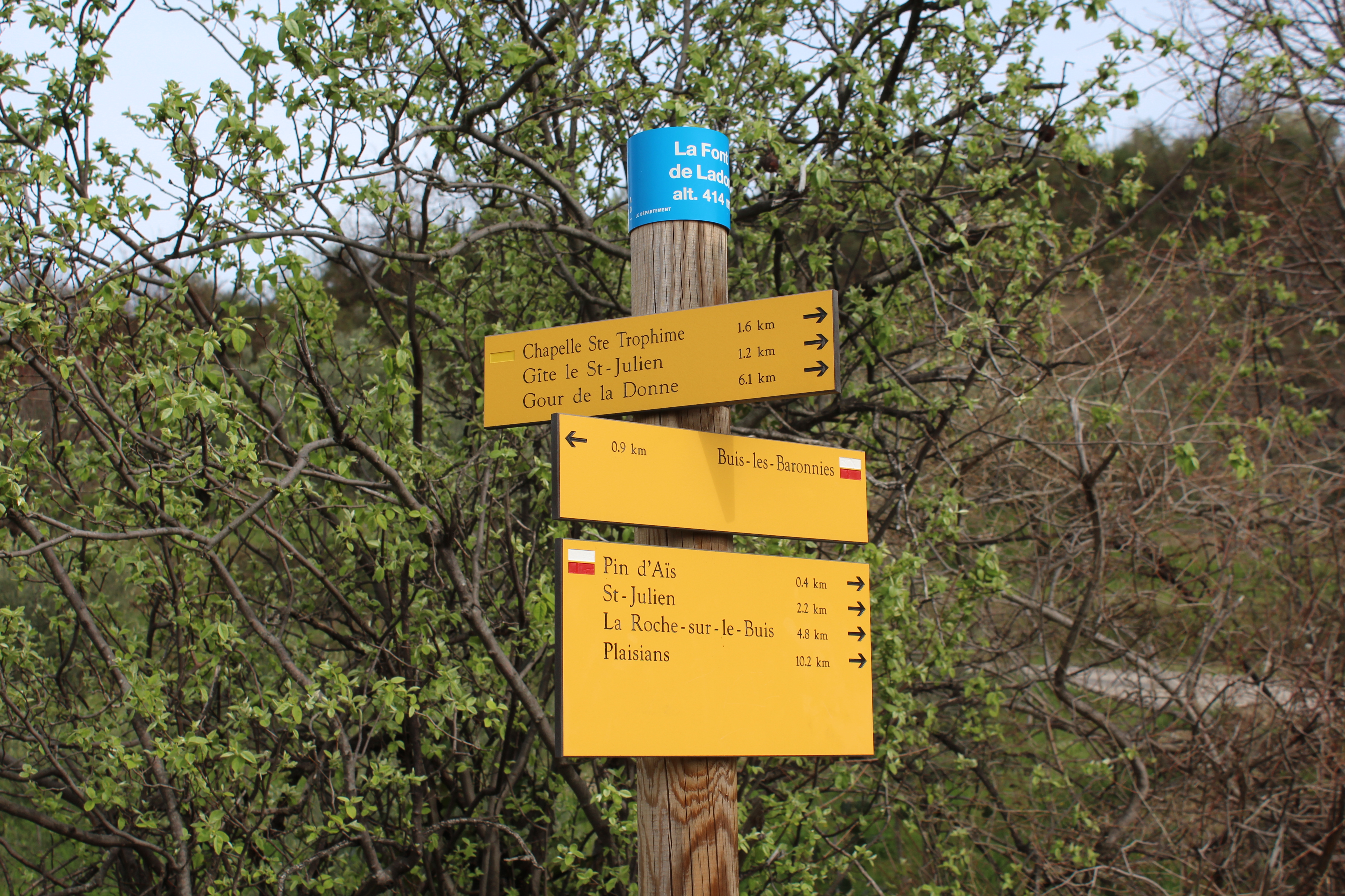
In the Drôme, the GR 9 crosses the rocky bars and forests of the Vercors. After reaching Léoncel, it enters a very different southern zone in the Drôme valley, before tackling the Baronnies massif.
Starting at Saint-Amour in the Jura, the GR® 9 runs for over 900 kilometers to the town of Saint-Pons-les-Mûres, near Saint-Tropez in the Var. It can be broken down into 8 main sections averaging 110 kilometers in length. The trail takes in many natural sites, including the Hauts de Chartreuse nature reserve and limestone massifs such as the Vercors and Baronnies. The GR9 is the Sentier de Grande Randonnée that crosses the most Regional Nature Parks (6), including the new Parc naturel régional des Baronnies provençales. Coming from Grenoble, the GR9 enters the southern zone via Nyons and reaches the foot of Mont Ventoux at Brantes, after 2 Baronnies stages: Nyons / Buis les Baronnies via the Col de Vôte and the Cols de Milmandre and Malpertuis (24.2km and +1293m / -1187m ascent) Buis les Baronnies / Brantes via La Nible and Col de Font Combran (18.3km and +1037m / -833m ascent). The GR9 joins the GRP du Tour des Baronnies before Buis, for a common route to Brantes. The GR9 offers several variants, including the GR91 which, after crossing the Vercors plateaus, arrives in the Diois via the Auberge, and joins the GR9 above Plaisians, as far as Brantes (34km from the Auberge to Brantes).
- Address 26190 Sainte-Eulalie-en-Royans
- Phone 04 75 28 04 59
- Email Nous écrire
- Website See the website
- Car park
- French
Details about route marking : Balisage GR® (Blanc et rouge) -
L’agence d’Attractivité de la Drôme cannot be held responsible for any problems encountered along the route.
Any problems encountered can be outlined here:
Author: Conseil Départemental de la Drôme - Apidae Tourisme
Updated on 13/10/2026
Through Conseil départemental de la Drôme