En amont des rivières
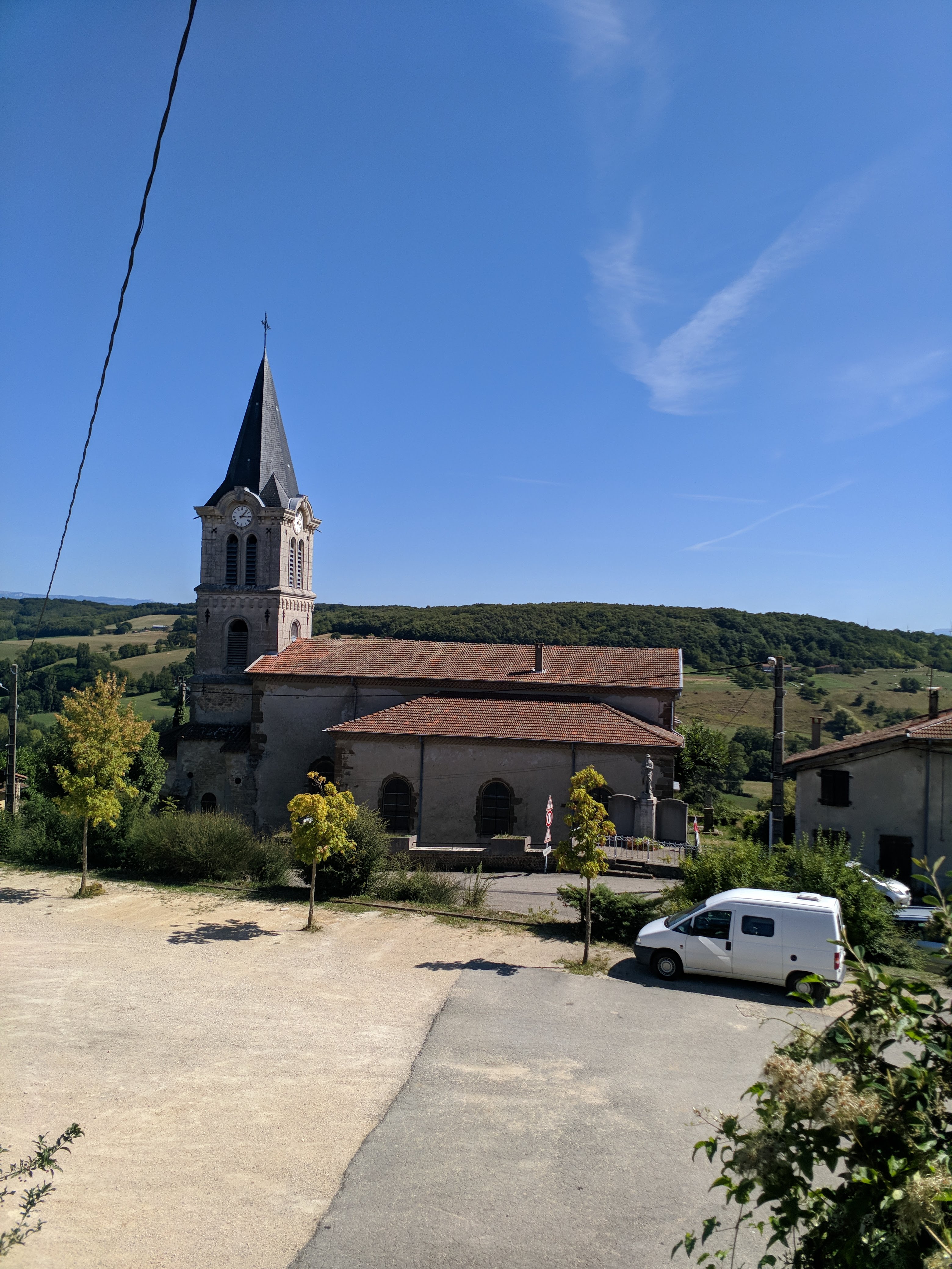
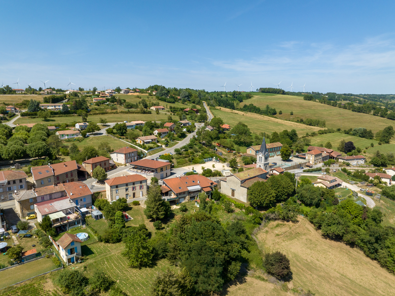
This very hilly route passes from hill to hill and stream to stream. The second part, on pretty little roads, offers beautiful panoramic views of the Vercors and surrounding valleys.
-
Address
Départ du parking au centre du village
26350 Valherbasse - Phone 04 75 02 28 72
Further information
- French
Our tips
Details about route marking : Balisage PR (Jaune) -
To see the GPX, download the application
L’agence d’Attractivité de la Drôme cannot be held responsible for any problems encountered along the route.
Any problems encountered can be outlined here:
Author: Conseil Départemental de la Drôme - Apidae Tourisme
Updated on 13/10/2026
Through Conseil départemental de la Drôme