
Découverte des Baronnies provençales
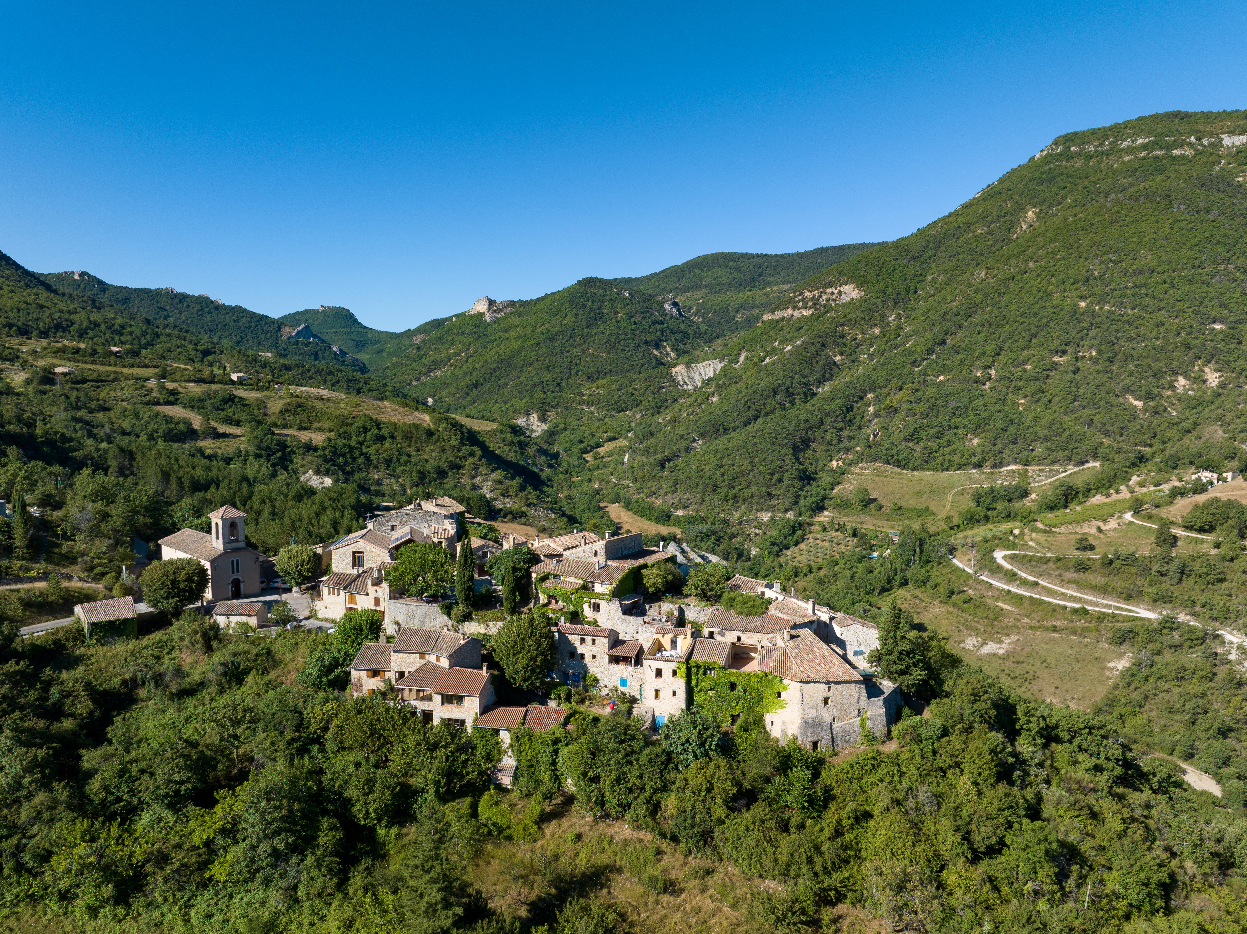
This tour takes you through the villages of the Pays de Nyons and the typical landscapes of the Provençal Baronnies. The variety of landscapes, the smells, the scents and the view of Mont Ventoux will make you forget the difficulty of the route.
Point 1: Place de la libération/Office de tourisme (km 0) Point 2: Carrefour de la citadelle (km 0.8 - 280m) After the tunnel, turn right and follow n°8 to Col de la Croix. Take it easy: 5km of climbing await you! Point 3: Col de la Croix (km 5.7 - 709m) At the pass, take the descent towards Châteauneuf-de-Bordette. Point 4: Col de la Croix rouge (km 10.6 - 520m) Turn left towards Peitieux mountain. Point 5: Col de Vote (km 17 - 703m) Continue straight on. Point 6: Col des Lantons (km 18.8 - 726m) Turn left. Long descent to Montaulieu. Point 7: Junction with RD 185B (km 27.2 - 334m) Turn left, direction Les Pilles. Point 8: Crossing Les Pilles (km 30.5 - 307m) Continue straight on towards Châteauneuf-de-Bordette. Take the dirt track on the right as you leave the village to join the "Au fil de l'Eygues" path. Point 9: Aubres (km 33.5 - 285m) Bridge on the right and old village of Aubres at the bottom of the hill. Continue straight on to Nyons.
-
Address
Place de la libération
26110 Nyons - Phone 04 75 26 10 35
- Email Nous écrire
Further information
- French
Our tips
Details about route marking : Balisage VTT (Jaune) - Boucle N°8 noir
To see the GPX, download the application
L’agence d’Attractivité de la Drôme cannot be held responsible for any problems encountered along the route.
Any problems encountered can be outlined here:
Author: Conseil Départemental de la Drôme - Apidae Tourisme
Updated on 13/10/2026
Through Conseil départemental de la Drôme

