
De Percipia à Mévolhon
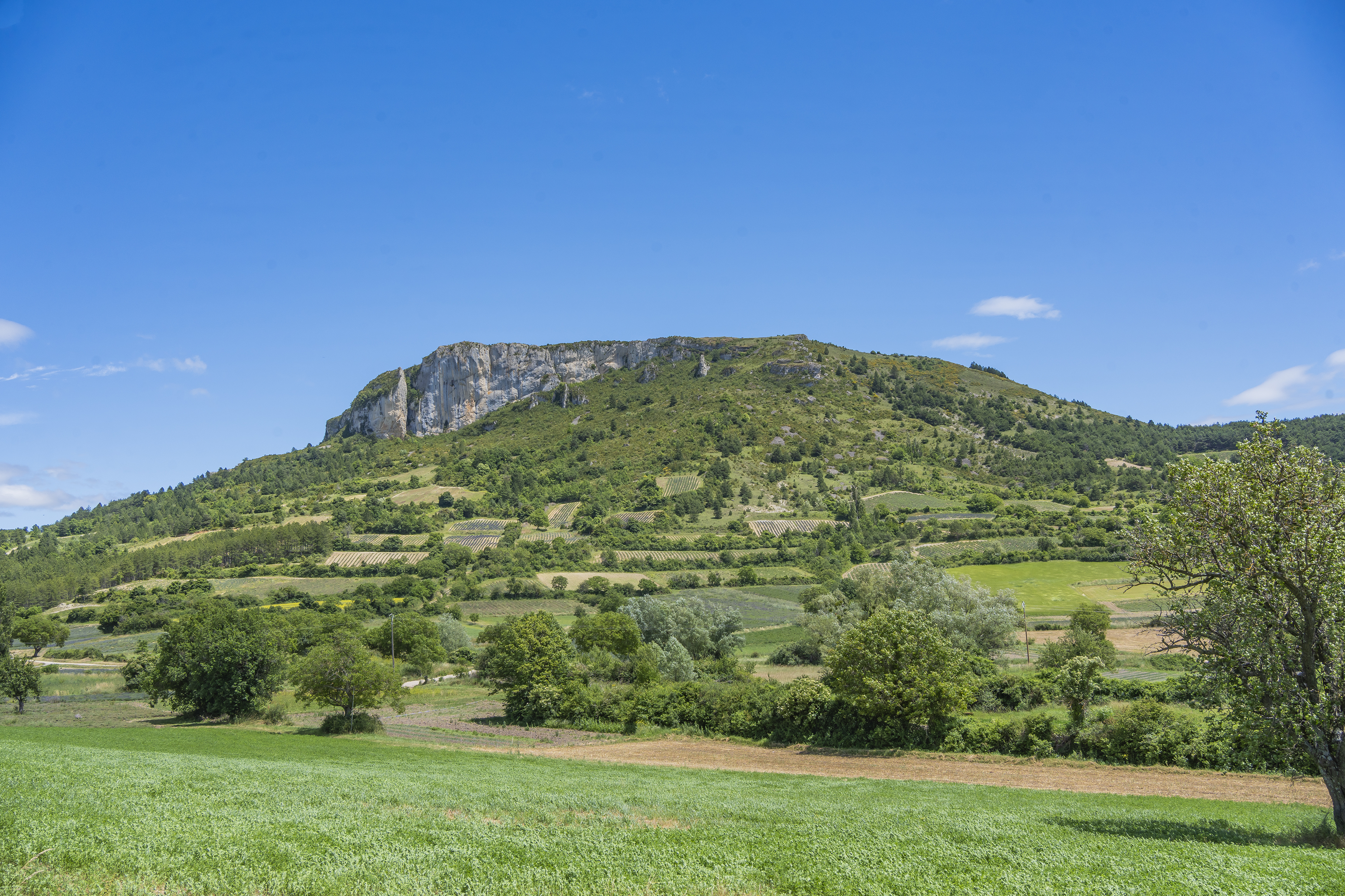
This itinerary will take you to the historic birthplace of the Baronnies, with the fortress of Mévouillon and the château d'Aulan. You'll also pass through the village of Le Poët-en-Percip, at an altitude of 1000m.
Point 1: Mévouillon, free-flight center (km 0 - 849m) Turn right onto the D546 towards Mévouillon. Take the first road on the right, go straight ahead at the first intersection, then slightly left at the second (km 0.2 - 855). Point 2: Junction (km 0.7 - 895) Turn left towards the hamlet of Col. Point 3: Hameau du Col (km 1.4 - 915m) Turn left onto a track which becomes a small road, joining the main road. Point 4: D546 (km 1.6 - 889m) Cross the D546 and take the track opposite. Pass the Chanaux farm to reach the Pied de Buc junction, turn right to reach Mourès. Point 5: Mourès (km 3.1 - 956m) Turn right, then left on the downhill track. Point 6: Bifurcation (km 4.2 - 906m) Take the 3rd track from the right, following the main route to the Col d'Aulan. Point 7: Col d'Aulan (km 5.9 - 847m) At Col d'Aulan, turn left onto the D359 and fork right 50m further on. Point 8: Morénas (km 7.4 - 830m) Leave the farm on your right and go left down to Aulan. Point 9: Aulan (km 8.6 - 780m) Opposite the château, turn right and follow the track opposite for 150m. Opposite the "propriété privée" sign, continue along the left-hand track (km 9.2 - 800m). Point 10: Ferme de La Palud (km 9.5 - 800m) Leave the farm on your right. Point 11: L'Ubac (km 10.3 - 840m) Take the track slightly to the right towards Col de la Bohémienne. Point 12: Col de la Bohémienne (km 12.2 - 940m) Go straight on, then slightly left on the path that follows and spans the ravine several times. Point 13: Ruisseau des Guiberts (km 12.9 - 888m) Continue straight ahead. Join the track and follow it in the opposite direction. Point 14: Ford (km 18.65 - 828m) Cross the ford and turn left. Point 15: D527 (km 18.8 - 790m) Drive 180m and turn left. Follow the signs: the route alternates between tracks and roads to reach the village of Le Poët-en-Percip. Point 16: Le Poët-en-Percip, place du tilleul (km 21.4 - 1013m) Opposite Le Poët-en-Percip, join the GR91. Leave it 150m further along, going straight ahead on a footpath. Point 17: Ancienne bergerie (km 18.6 - 1,050m) Turn left and follow the main track to the Col de la Ville Vieille. Point 18: Col de Ville Vieille (km19.5 - 1119m) Go up to the left, then down the track to the tarmac. Point 19: Ferme de Quincent (km 22.7 - 820m) At the first houses, continue on the small road for 300m. Point 20: Crossroads (km 23.2 - 770) Turn right, then right again 20m later on a track that joins the La Honas farm and then the D359. Point 21: D359 (km 24.6 - 793m) Turn left for 200m, then right off the D359 onto a track. Junction 22: D546 (km 25.3 - 795m) Go up to the right for 600m, then leave the D546 on a track to the right; go straight on for 350m, then turn left. Point 23: Fourche (km 27.5 - 848m) Turn left, then right after 450m. The track runs alongside a field, crosses a ravine and then climbs back up to the junction at the start of the route. Turn left and retrace your steps back to the D546 (km 28.9 - 900m). Point 24: D546 (km 31.5 - 891m) Turn right towards Séderon to return to the starting point. Point 25: Mévouillon, free-flight center (km 33.11 - 849m)
-
Address
6, route du berceau des Baronnies
26560 Mévouillon - Phone 04 75 28 04 59
- Email Nous écrire
Further information
- French
Our tips
Details about route marking : Balisage VTT (Jaune) - Boucle N°11 noir
To see the GPX, download the application
L’agence d’Attractivité de la Drôme cannot be held responsible for any problems encountered along the route.
Any problems encountered can be outlined here:
Author: Conseil Départemental de la Drôme - Apidae Tourisme
Updated on 13/10/2026
Through Conseil départemental de la Drôme

