
- 49.59 km
- 2h50
- Very difficult
- + 1026 m
Crête de Mallivert

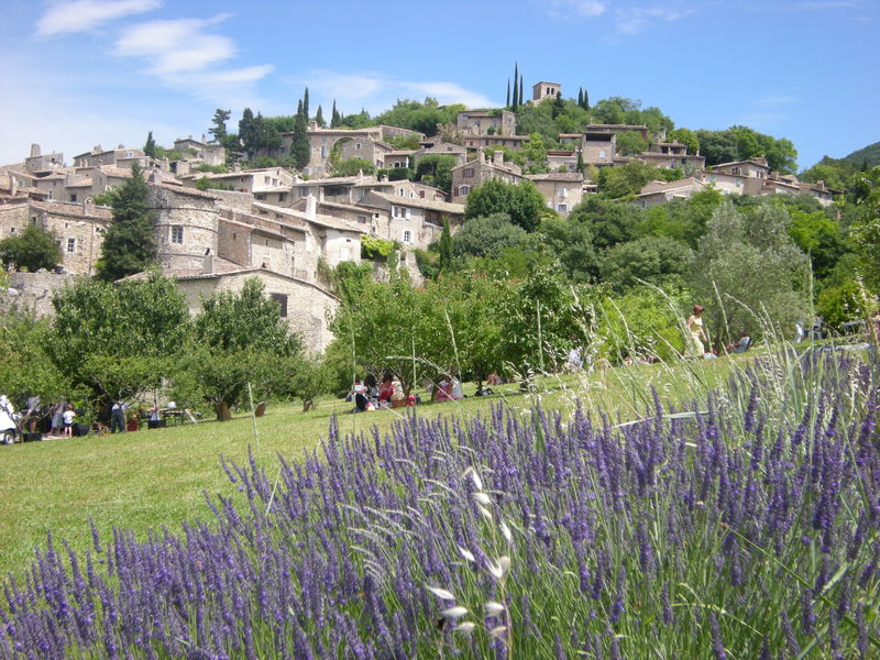
This walk takes you through a magnificent forest, where you can admire the Eglise Ste Foy, the Collet des Murs, the Crête de Mallivert, the Crête du Renard and much more...
Starting at the bottom of the village, this route takes you up to the church of Sainte Foy, then into the black pine forest where you rise to reach Petit Jean. Follow the path up to Collet des Mûres. Keep climbing to take the path to the Crêtes de Mallivert, which you follow on a false flat before descending on a steep, stony path on the tube. On the path, turn right towards the Patte d'oie, where you keep to the left to head for Les Buthiers. Carefully, 1km further on, take the left-hand path down the Crête du Renard to the hamlet of Platet, then continue on the sheltered path where typical Mediterranean cacti grow below, which leads to the Pertuis. Take the dirt track on the right towards Les Granges and Mirmande. Itinerary on sale at Livron-sur-Drôme, Loriol-sur-Drôme and Mirmande tourist offices.
-
Address
Bas du village
26270 Mirmande - Phone 04 75 63 10 88
- Website See the website
Further information
Our tips
Details about route marking : Balisage VTT (Jaune) - Boucle N°8 rouge
To see the GPX, download the application
L’agence d’Attractivité de la Drôme cannot be held responsible for any problems encountered along the route.
Any problems encountered can be outlined here:
Author: Conseil Départemental de la Drôme - Apidae Tourisme
Updated on 13/10/2026
Through Conseil départemental de la Drôme