
Combefère
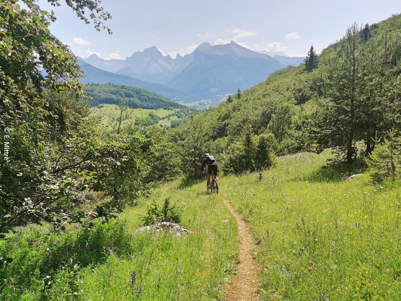
A rolling climb on a forest track through the Chaumets forest to reach the Col Navite and its view of the Dévoluy range, then a descent on a long, varied single in the Toussiérette valley between forest and mountain pasture.
-
Address
10 place des Lucioles
26620 Lus-la-Croix-Haute - Phone 04 92 58 51 85
- Email Nous écrire
- Website See the website
Further information
- Free car park
- Car park
- Public WC
- French
Our tips
Details about route marking : Balisage VTT (Jaune) - Boucle N°63 noir
To see the GPX, download the application
L’agence d’Attractivité de la Drôme cannot be held responsible for any problems encountered along the route.
Any problems encountered can be outlined here:
Author: Conseil Départemental de la Drôme - Apidae Tourisme
Updated on 13/10/2026
Through Conseil départemental de la Drôme
