
Col du Roux
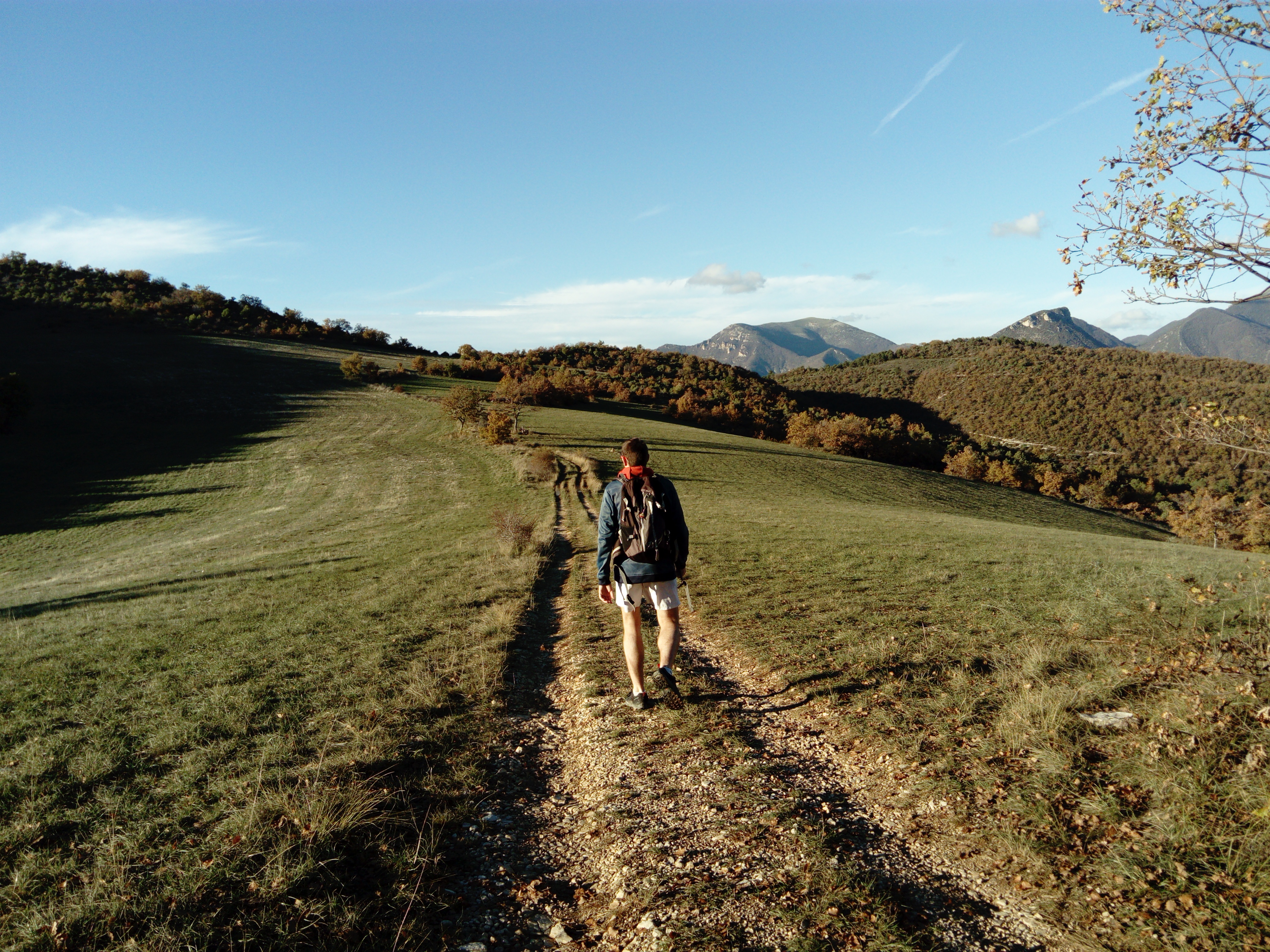
During the hike, you'll enjoy beautiful views of the surrounding mountains, including Montagne d'Angèle, the highest point in the Baronnies (1,606m), and the Eygues valley.
Parking aire de la Toulonne (D.94 between Les Pilles and Curnier) 1. Opposite the parking lot, take a wide road for about 100 m, then turn left onto a narrow path. Further on, at a crow's-foot, take the right-hand path. 2. After a steep climb up a small ravine, at the Vingtains-Haut crossroads (alt. 450 m), take the right-hand path again. Higher up, at a scree, turn right again to reach the ravine. Cross the ravine, then climb immediately to the left. Following the ravine uphill, you reach a small, cleared plateau. Join a track at the level of two oak trees (in the middle of the meadow), and turn left (heading north). 3. At the Les Plateaux junction (alt. 652 m), turn right; the path joins the Col du Roux (alt. 640 m). Take the left-hand path towards Chemin d'Eyroles. Further down, you'll come to a track which you should follow to the left. 4. Go past the Chemin d'Eyroles post (alt. 565 m). Reach the first house and continue along the track. 5. After a few bends, you come to the La Garde post (alt. 540 m), next to the riding school. At this point, leave the track and take a path to the left between the horse pens, in the direction of Les Vingtains. Head south again. Cross a small ravine, climb back up and follow the path. Further on, you come to a small ridge, turn left to rejoin the ravine. Cross several small ravines. Further down, you come to some old earthworks (non-wooded area). Stay on the left-hand edge. Watch out for a small path on the left which rises slightly and then descends to a fruit tree bank; at the end, turn left at a large oak tree. Follow a more or less level path, then descend to rejoin the starting route. Return to the parking lot in 5 minutes.
- Address 26110 Curnier
- Phone 04 75 26 10 35
- Email Nous écrire
- French
Details about route marking : Balisage PR (Jaune) -
L’agence d’Attractivité de la Drôme cannot be held responsible for any problems encountered along the route.
Any problems encountered can be outlined here:
Author: Conseil Départemental de la Drôme - Apidae Tourisme
Updated on 14/10/2026
Through Conseil départemental de la Drôme
