
Col de Soubeyrand
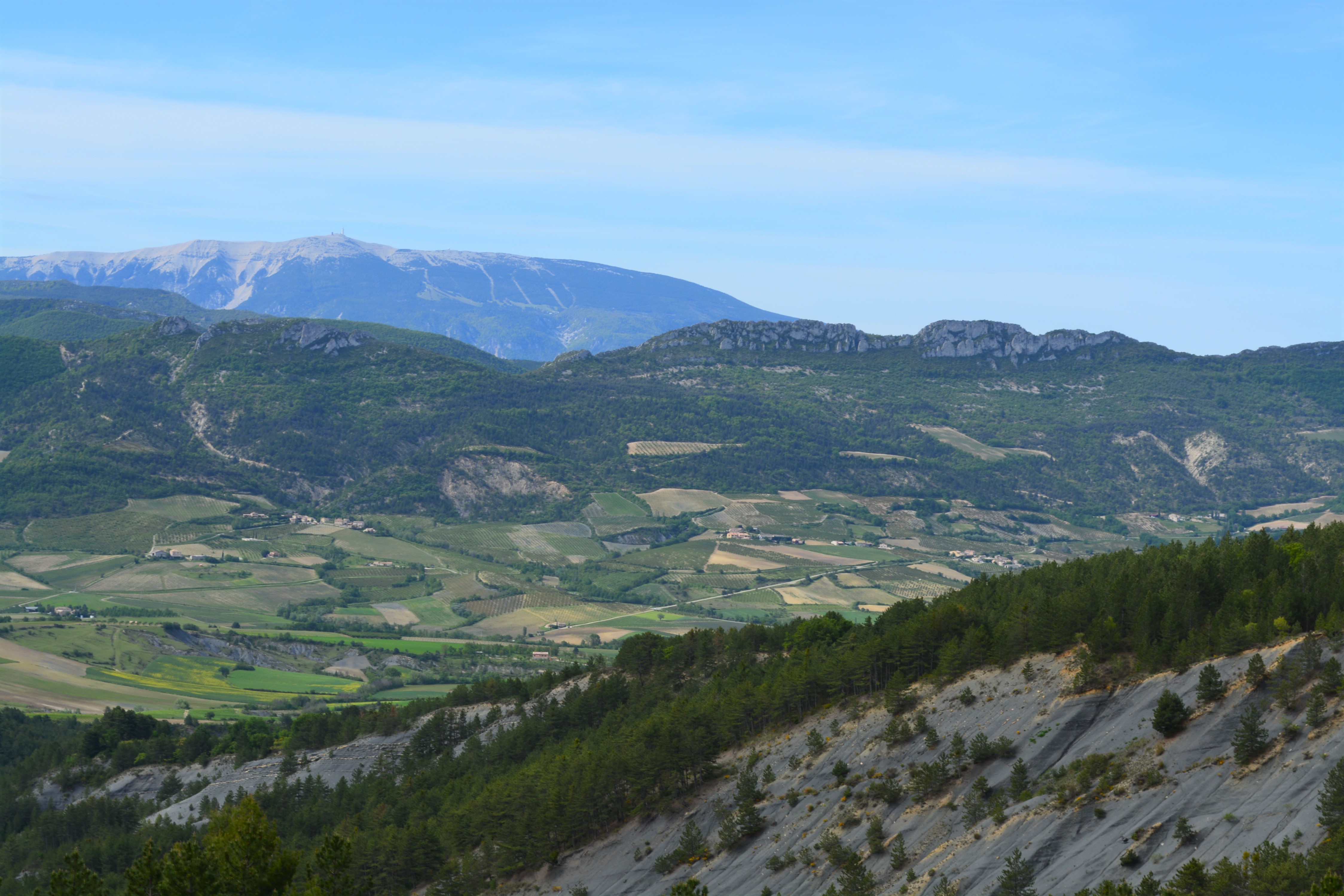
A long loop hike to the Col de Soubeyrand, a former settlement overlooking the Ennuyé valley, opposite Mont Ventoux.
Tarendol is the site of the grave of Nyons-born writer René Barjavel (1911-1985). We also pass the village of Le Poët-Sigillat, a veritable ridge village, ten times as long as it is wide, surrounded by marl and offering beautiful views over the Sainte-Jalle valley. Finally, the descent from the pass takes you close to the Aiglier rock face, a rocky lace where climbing is practiced. Departure point: After passing the village of Bellecombe-Tarendol, follow the D162 to the hamlet of Tarendol. 100m after entering Tarendol, park on the left-hand side of the road, in the garbage can parking lot. If you can't find a space, take the road back towards Bellecombe and park at the first bend in the road on your right, after the Hoirs bridge. 1. Turn left through the village. After the signpost, the road curves to the right. 2. Leave the main road at the end of the bend, and turn left onto a small road leading uphill. 3. At the fork 100m further on (alt. 760m on IGN), stay on the main track to the left. 4. You reach the Collet des Cliottes (alt. 810m). Continue straight on towards Le Poët-Sigillat for 1.6km. After 400m, you reach the road, which you take on the left. left. It winds its way up to the village of Le Poët-Sigillat. 5. You arrive at the Buissière crossroads (770m). Turn right onto the road that climbs towards the cemetery parking lot. This alternates between road and then becomes a permanent track. 6. At the crossroads (alt. 818m on IGN), continue straight ahead. 7. Stay on the main track when it veers to the left. You then pass a lavender field. 8. You come to a field and skirt its edge. Stay on the straight-down track. After 300 m, leave the track and turn left onto a path that climbs up through the broom. 9. 200m further on, the path drops down to a track on the right. This descends steadily. 10. You reach the Col de Soubeyrand (990m), where you cross the D162. Take the track opposite, always keeping to the main path. 11. After 3 km, turn right at the fork. You'll pass the Bellecombe-Tarendol rock-climbing site, also known as Rocher de l'Aiglier, and then its parking lot. 12. Stay on the main track when it crosses another track. Turn left, and this becomes a tarmac road. 13. 300m further on, at the Bellecombe crossroads (680m), continue straight on towards Tarendol. 14. After 300m (alt. 664m on IGN), join the main road, which you take to the right as far as Tarendol. Enter the village. You'll find the parking lot where you started.
- Address 26110 Bellecombe-Tarendol
- Phone 04 75 28 04 59
- Email Nous écrire
- French
Details about route marking : Balisage PR (Jaune) -
L’agence d’Attractivité de la Drôme cannot be held responsible for any problems encountered along the route.
Any problems encountered can be outlined here:
Author: Conseil Départemental de la Drôme - Apidae Tourisme
Updated on 13/10/2026
Through Conseil départemental de la Drôme
